 Tourist's Map of England and Wales

|

|
|
|
map type:- Bartholomew 1920s |
|
|
|
Tourist's Map of England and Wales, scale about 10.5
miles to 1 inch, published by John Bartholomew and Son, The
Geographical Institute, Duncan Street, Edinburgh, Lothian,
1920s?
The northern section covers Westmorland, Cumberland etc, now Cumbria. |
||
|
(map example JandMN(30))
|
||
| map feature:- | mounted & folded & card covers & up is N & scale line & lat and long scales & lat and long grid & sea tinted & coast line & coast tinted & rivers & lakes & spot heights (a few) & county & settlements & roads & railways & shipping routes | |
| inscription:- |
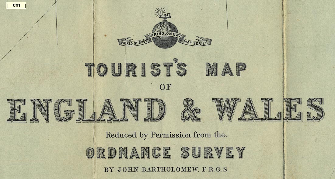
trade mark: printed over title, upper right
WORLD SURVEY / BARTHOLOMEW'S / MAP SERIES lamp and globe |
|
| inscription:- |
printed upper right
TOURIST'S MAP / OF / ENGLAND & WALES / Reduced by Perission from the / ORDNANCE SURVEY / / BY JOHN BARTHOLOMEW, F.R.G.S. |
|
| inscription:- |
printed above scale line, upper right
Scale 1 : 633,600 10 miles to an Inch |
|
| scale line:- | 40 miles = 98.3 mm | |
| scale:- | 1 to 650000 ? (1 to 654870 from scale line) | |
| wxh, sheet:- | 84.5x57.5cm | |
| wxh, folded:- | 10.5x20cm | |
| wxh, map:- | 821x541mm | |

|
||

|
||
| sources:- |
JandMN Collection |
|
| items seen (illustrated items in bold):- | ||

|
JandMN (30) -- map -- Tourist's Map of England and Wales | |