 Furness Railway

|

|
|
|
map type:- Barrow Herald 1865 |
|
|
|
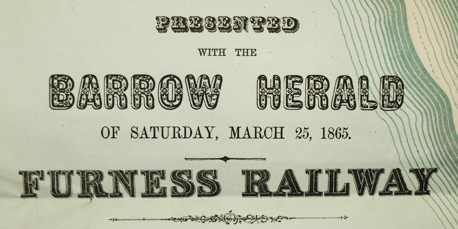
Railway map, Furness Railway, Lancashire, scale about 1.5
inches to 1 mile, published by the Barrow Herald,
Barrow-in-Furness, Lancashire, 1865.
There is tabulated data comparing distances by Furness Railway, and the Whitehaven and Furness Junction Railway. |
||
|
(example Carlisle Library (37))
|
||
| inscription:- |
printed lower left
PRESENTED / WITH THE / BARROW HERALD / OF SATURDAY, / MARCH 25, 1865. / FURNESS RAILWAY |
|
| wxh, map:- | 603x642mm | |
| inscription:- |
printed with scale line
SCALE OF MILES |
|
| scale line:- | 3+1 miles = 152.1 mm | |
| scale:- | 1 to 42000 ? (1 to 42323 from scale line, assuming a statute mile) | |

|
||
| sources:- |
Carlisle Library Maps |
|
| items seen (illustrated items in bold):- | ||

|
Carlisle Library : Map 88 -- railway map -- Furness Railway | |
|
|
Carlisle Library : Map 89 -- railway map -- Furness Railway | |