 North and Central England

|

|
|
|
map type:- Bacon 1910s |
|
|
|
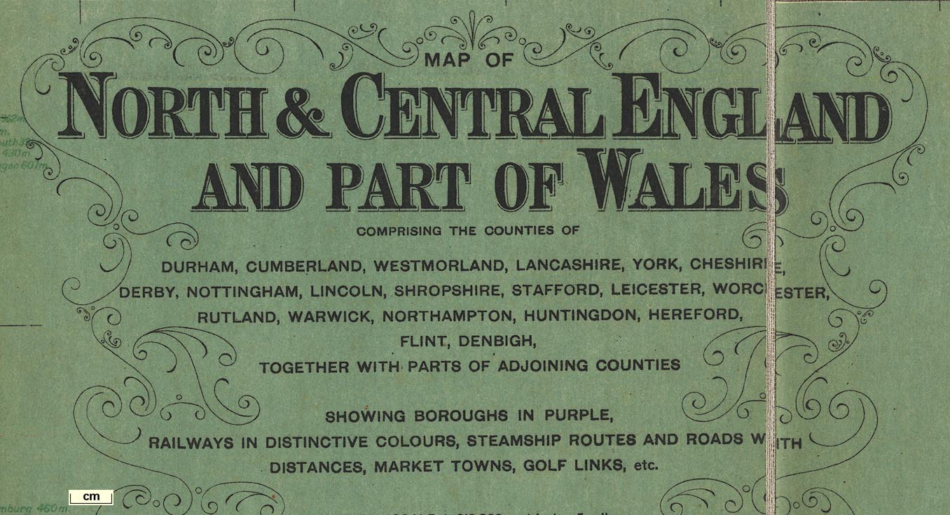
Map, North and Central England and Part of Wales, scale
about 5 miles to 1 inch, by G W Bacon and Co, Norwich
Street, Fetter Lane, London, published by British
Geographical Publishing Co, Royal London Buildings,
Manchester, 1910s?
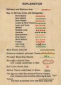
There are: an Index Gazetteer of places refering to positions using an index grid of ten miles squares, and giving population (Kendal 14033 which is the census figure for 1911), market day, and early closing day; table of speed limits in towns, mostly 10 mph; a triangular table of distances, 'aerial' presumably meaning crowflight, and by rail; and a table of Motor Marks, ie vehicle licence letters. |
||
|
(map example JandMN (81))
|
||
| map feature:- | sectioned for folding & mounted & folded & card covers & table of symbols & up is N & scale line & index grid & table of data & sea tinted & coast line & rivers & lakes & relief & hill hachuring & county & settlements & roads & railways & canals & shipping routes & table of distances | |
| inscription:- |
printed upper right
MAP OF / NORTH & CENTRAL ENGLAND / AND PART OF WALES / ... |
|
| inscription:- |
printed bottom left and right
COPYRIGHT. G.W. BACON & CO. LTD., NORWICH ST, FETTER LANE, LONDON E.C.4. / Published by BRITISH GEOGRAPHICAL PUBLISHING CO., ROYAL LONDON BUILDINGS, MANCHESTER. |
|
| inscription:- |
printed cover
NEW CHART / OF / NORTH AND CENTRAL / ENGLAND black on brown |
|
| wxh, sheet (including gaps):- | 96.5x123.5cm | |
| wxh, map (including gaps):- | 940x1188mm | |
| wxh, folded:- | 21x25cm | |
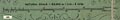
| scale line:- | 25 miles = 125.8 mm | |
| scale:- | 1 to 320000 ? (1 to 319822 from scale line) | |
|
||
|
||
| sources:- |
JandMN Collection |
|
| items seen (illustrated items in bold):- | ||

|
JandMN (81) -- map -- North and Central England | |