
Backhouse 1773

The map has:-
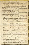
'EXPLANATION. / The Districts of the Quarterly Meetings are distinguished by Colours. / The Quarterly Meetings are generally held, for / Yorkshire at York, on the 4th. Day preceeding the last ... 5th. Day in the 3d. 6th. 9th. & 12th. Months. / Cumberland circulates, and is held the last ... 5th. -- ditto -- / Durham at Durham, the first ... 3d Day in the 1st. 4th. 7th. & 10th. Months. / Lancashire at Lancaster, the first ... 4th -- ditto -- / Northumberland at Allandale, the first ... 5th -- ditto -- / Westmoreland at Kendal, the first ... 6th -- ditto -- / except at Midsummer, Lancaster Quarter meeting is held the 2d. fourth Day. / The Divisions of the Monthly Meetings are distinguished by Lines thus [dashed line] In which is mentioned the Day of the Month and Week each Monthly Meeting is held. / The first figure in each Circle denotes the Market Day at or near that Place, and the second figure the week day meeting days. / If there are more than two figures in a Circle. The top figures denote the Market Days, and the bottom the Week Day Meeting Days. / The Roads are expressed by a double continued Line Upon which the distance from Place to Place is given in Measured Miles. / The Boundaries of Counties are expressed by dots. [dotted line] / York Quarterly Meeting holds Two Days / Cumberland Quarterly Meeting is held at Carlisle in the 3d. Month Coldbeck 6th. Cockermouth 9th. & Wigton the 12th.'
Published in an edition printed on a silk handkerchief with minor amendments, perhaps a limited for private circulation, probably 1773 (See Philipson).
Joseph Smith, in his Descriptive Catalogue of Friends' Books, published 1867, lists this map 'by the late James Backhouse / Published about 1773.'
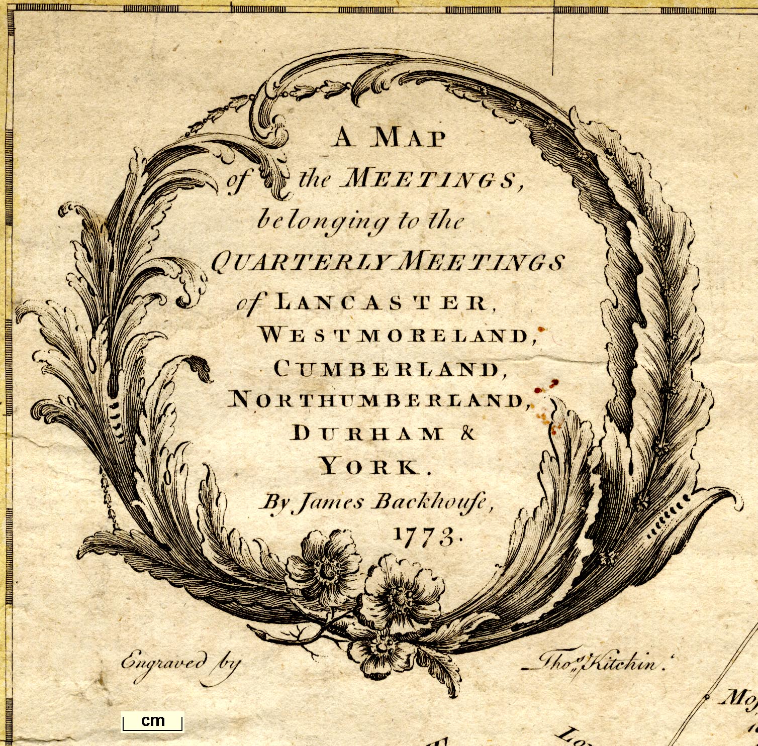
A MAP / of the MEETINGS, / belonging to the / QUARTERLY MEETINGS / of LANCASTER, / WESTMORELAND, / CUMBERLAND, / NORTHUMBERLAND, / DURHAM & / YORK. / By James Backhouse, / 1773 // Engraved by Thos. Kitchin.
Publish'd as the Act Directs 1st. 3d. Moth. 1773, by the Author at DARLINGTON, Price 1s. 6d., also sold by T. Kitchin, No.59, Holborn Hill, London.


 Backhouse 1773