button to main menu CTC 1899 map

item:-
JandMN (492_1)
image:-
©  see bottom of page
image, button to large image
click to enlarge


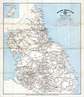
Map, colour printed on ?weather proof material, to accompany Cyclists' Touring Club British Road Book, vol.3, Northen Counties, scale about 8.5 miles to 1 inch, drawn by R T Lang, 1897, published by E R Shipton, 47 Victoria Street, Westminster, London etc, 1899.
Folded in a pocket of the CTC British Road Book, vol.3, 3rd edn 1899.
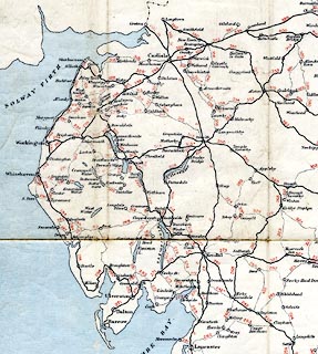
The map shows Northumberland, Durham, Cumberland, Westmorland, Yorkshire, Lancashire, parts of adjacent counties, and the Isle of Man.
   CTC 1899 map
map feature:- folded (6x4) & table of symbols & up is N & scale line & sea tinted & coast line & rivers & lakes & settlements & roads & inset map (Isle of Man)
inscription:- printed upper right
CYCLISTS' TOURING CLUB. / FOUNDED 1878. [CTC badge] INCORPORATED 1887. / BRITISH ROAD BOOK / Key Map to accompany Voume III. / COMPILED AND DRAWN BY R. T. LANG, C.T.C. 1897 / ...
inscription:- printed bottom left, right, centre
Copyright, Entered at Stationers Hall / Stanford's Geographical Establishment, London. / Published for the "Cyclists' Touring Club" by E. R. Shipton, Secretary & Editor of the "C.T.C. Gazette", Chief Offices, 47, Victoria Str., Westminster, S.W.
inscription:- printed with scale line
Scale of Miles
scale line:- 40+10 miles = 148.8 mm
wxh, sheet:- 51x58.5cm
wxh, map:- 465x543mm
scale:- 1 to 540000 ? (1 to 540774 from scale line)
image, button to large image