 OS 1950s Seventh Series

|

|
|
|
item:- JandMN (414_83) image:- © see bottom of page |
click to enlarge |
|
|
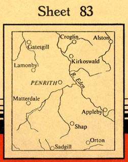
Map, OS One Inch Seventh Series sheet 83, Penrith, scale
1 inch to 1 mile, published by the Ordnance Survey,
Southampton, Hampshire, 1955.
|
||

|
OS 1950s Seventh Series | |
| map feature:- | mounted (linen?) & folded (6x5) & card cover & index map & location map & table of symbols & north point & magnetic deviation & lat and long scales & index grid (National Grid) & rivers & lakes & relief & contours & spot heights & woods & forests & parks & county & parishes & settlements & roads (with Ministry of Transport numbering) & railways | |
| inscription:- |
printed cover
83 / NATIONAL GRID [royal coat of arms] SEVENTH SERIES / ORDNANCE SURVEY / ONE-INCH MAP / of / GREAT BRITAIN / PENRITH / Price (Cloth) Seven Shillings Net / Sheet 83 / FULLY REVISED 1951 with corrections to 1957 [location map] PUBLISHED 1955 red and black on pale buff |
|
| wxh, folded:- | 12.5x19.5cm | |
| scale:- | 1 to 63360 ? (nominal) | |