 Cary 1794

|

|
|
|
item:- British Postal Museum and Archive (7) image:- © see bottom of page |
click to enlarge |
|
|
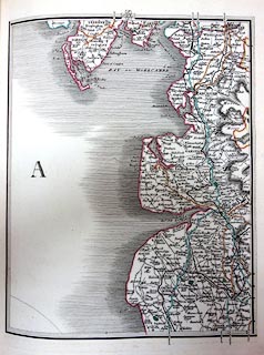
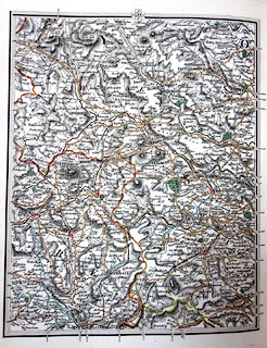
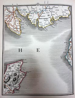
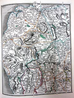
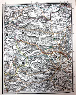
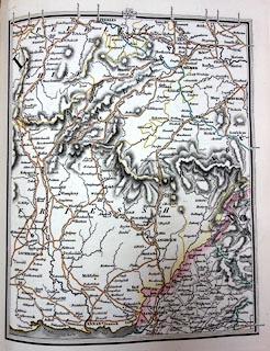
Map, hand coloured engraving, Cary's New Map of England
and Wales with Part of Scotland, scale about 5 miles to 1
inch, by John Cary, 181 Strand, London, 2nd edn 1816.
The map is engraved in sections which appear as separate pages in a bound atlas. |
||

|
Cary 1794 | |
| map feature:- | up is N & sea shaded & coast shaded & rivers & lakes & relief & hill hachuring & parks & county & settlements & roads & road distances & railways | |
| inscription:- |
printed title
CARY'S / NEW MAP / of / ENGLAND AND WALES, / WITH PART OF / SCOTLAND. / ON WHICH ARE CAREFULLY LAID DOWN / All the Direct and Principal Cross Roads, the Course of the Rivers / AND / NAVIGABLE CANALS, / Cities, Market and Borough Towns, Parishes, and most considerable Hamlets, Parks, Forests, &c. &c. / Delineated from Actual Surveys and materially assisted / FROM / AUTHENTIC DOCUMENTS / Liberally supplied by the Right Honourable the / POST MASTER GENERAL / SECOND EDITION. / 1816. / Note : This Map has been carefully revised & the whole of the Plates re-engraved containing every improvement to the present time. // Published Septr. 2nd. 1816 by J. Cary, Engraver & Map-seller, No.181 Strand. |
|
| inscription:- |
printed with scale line
British Statute Miles 69 1/2 to a Degree. |
|
| scale line:- | 30 miles | |
| scale:- | 1 to 320000 ? | |
|
||
|
||
|
||
|
||
|
||