 Speed 1611

|

|
|
|
item:- Armitt Library : A6632.67 image:- © see bottom of page |
click to enlarge |
|
|
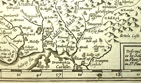
Map, uncoloured engraving, The Kingdome of Scotland, by
John Speed, 1610, published by Thomas Bassett, The George,
Fleet Street, and Richard Chiswell, The Rose and Crown, St
Paul's Churchyard, London, 1676.
There are vignette birds eye views of several towns, and an inset map of The Yles of Orknay. The reverse of the map is pp.131 and 132; text in English. Included in The Theatre of the Empire of Great Britain by John Speed. |
||

|
Speed 1611 | |
| map feature:- | scroll cartouche & swash lettering & vignettes (costume figures) & inset map (The Yles of Orknay) & coat of arms, royal & compass rose & labelled borders (English) & up is N & scale line & lat and long scales & sea moire effect & galleons & sea monsters & coast shaded & rivers & lakes & relief & hillocks & woods & county & settlements | |
| inscription:- |
printed title
THE KINGDOME / OF / SCOTLAND |
|
| inscription:- |
printed with scale line
THE SCALE OF SCOTISH MILES |
|
| scale line:- | 50 scottish miles = 66.6 mm | |
| wxh, map:- | 514x385mm | |