 Pearson 1900s map

|

|
|
|
item:- Armitt Library : A1188.4 image:- © see bottom of page |
click to enlarge |
|
|
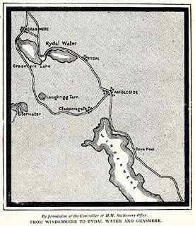
Map, lithograph, From Windermere to Rydal Water and
Grasmere, Westmorland, published by C Arthur Pearson,
Henrietta Street, London, 1900s.
On p.xxviii of Pearson's Gossipy Guide to the English Lakes and Neighbouring Districts. |
||

|
Pearson 1900s map | |
| map feature:- | up is N & lakes & settlements & roads | |
| inscription:- |
printed bottom
By permission of the Controller of H.M. Stationery Office. / FROM WINDERMERE TO RYDAL WATER AND GRASMERE. |
|
| wxh, page:- | 11x18.5cm | |
| wxh, image:- | 82x90mm | |