
Armitt Library : A1820
image:-
© see bottom of page

click to enlarge
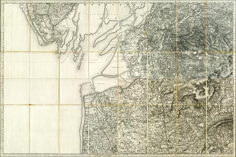
Includes, relevant to Cumbria - Barrow-in-Furness, Lancashire now Cumbria.
Hachured edition, piano key border, quarter sheets trimmed and mounted to make a full sheet, which is then sectioned for folding 8x3 pieces.
The map was probably prepared by, and sold by Letts, Son and Co, 8 Royal Exchange, London.

Sold by LETTS, SON & CO. 8, Royal Exchange, E.C. / MAP, CHART & GLOBE SELLERS, / Agents by Appointment for the Sale of Ordnance Maps.
 OS 1840s-60s Old Series