 Hennet 1830

|

|
|
|
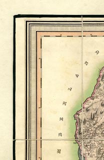
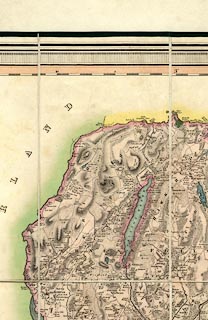
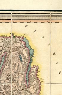
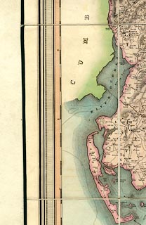
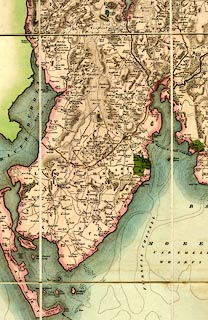
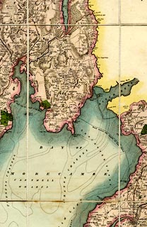
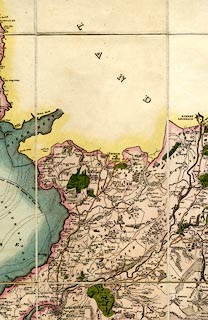
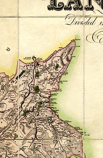
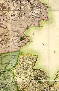
Map, hand coloured engraving, A Map of the County
Palatine of Lancaster, scale about 1.5 miles to 1 inch, by G
Hennet, engraved by James Bingley, 57 Charles Street, City
Roaf, published by Henry Teesdale and Co, 302 Holborn,
London, 1830.
|
||

|
Hennet 1830 | |
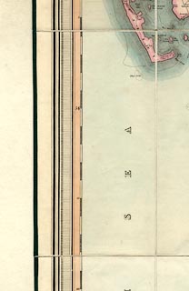
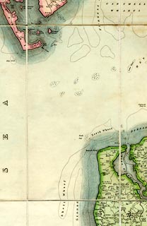
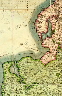
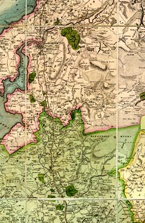
| map feature:- | slip case & sectioned for folding & mounted & folded (8x6) & table of symbols & vignettes (New Custom House, Liverpool) & compass rose & up is N & scale line & lat and long scales & sea plain & depth contours & sandbanks & coast form lines & foreshore sands & rivers & lakes & relief & hill hachuring & woods & forests & parks & county & hundreds & parishes & settlements & roads & turnpike roads & sands roads & canals | |
| inscription:- |
printed upper right
A MAP / OF THE / County Palatine / OF / LANCASTER / Divided into Hundreds and Parishes / from an accurate Survey / Made in the Years 1828 and 1829 / BY G. HENNET. / LONDON. / ENGRAVED BY JAMES BINGLEY, 57 CHARLES ST. CITY ROAD. |
|
| inscription:- |
embossed label on spine of slip case
TEESDALE'S / MAP OF / LANCASHIRE |
|
| inscription:- |
printed lower right
London / Published by Henry Teesdale & Co. / 302, HOLBORN, / May 1, 1830. |
|
| inscription:- |
printed with scale line
SCALEOF STATUTE MILES. |
|
| scale line:- | 10 miles = 191 mm | |
| wxh, sheet:- | 116x163cm | |
| wxh, map (including gaps):- | 1116x1609mm | |
| scale:- | 1 to 84000 ? (1 to 84259 from scale line) | |
|
||
|
||
|
||
|
||
|
||
|
||
|
||