item:- private collection : 158
image:- © see bottom of page
 HT0114.jpg
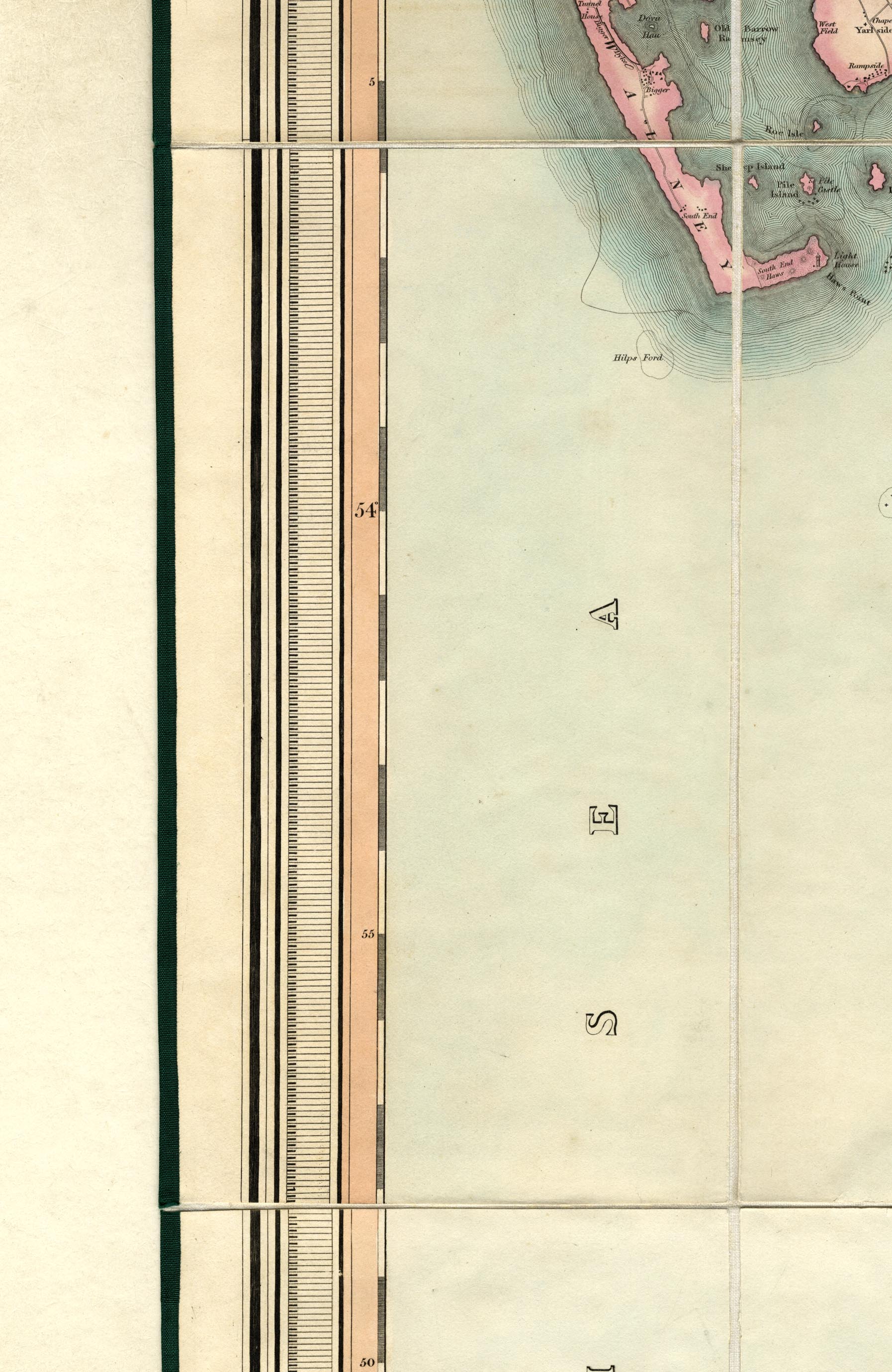
Map, hand coloured engraving, A Map of the County Palatine of
Lancaster, scale about 1.5 miles to 1 inch, by G Hennet,
engraved by James Bingley, 57 Charles Street, City Roaf,
published by Henry Teesdale and Co, 302 Holborn, London, 1830.
 Lakes Guides menu.