 Cary 1794

|

|
|
|
item:- JandMN (224) image:- © see bottom of page |
click to enlarge |
|
|
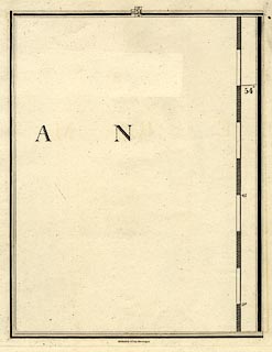
Map, hand coloured engaving, plate 54 of a New Map of
England and Wales, parts of the North Sea, scale about 5
miles to 1 inch, by John Cary, 181 Strand, London, 1794.
At the top of the map is a guide diagram to adjacent pages, 63 to the North, 53 West, 45 South. All the map shows is part of a label 'A N' from German Ocean and part of the latitude scale in the map border. One is reminded that:- 'He had brough a large map representing the sea / Without the least vestige of land / And the crew were much pleased when they found it to be / A map they could all understand.' '"What's the good of Mercator's North Poles and Equators, / Tropics, Zones, and Meridian Lines? " / So the Bellman would cry: and the crew would reply, / "They are merely conventional signs!"' '"Other maps are such shapes, with their islands and capes! / But we've got our brave Captain to thank" / (So the crew would protest) "that he's bought us the best - / A perfect and absolute blank!"' |
||

|
Cary 1794 | |
| map feature:- | sea plain & lat and long scales | |
| inscription:- |
printed bottom
Published by J. Cary, June 11 1794. |
|
| scale line (printed on its own sheet in the atlas):- | 30 miles = 152.1 mm | |
| scale:- | 1 to 320000 ? (1 to 317425 from scale line) | |
| wxh, map:- | 200x257mm | |