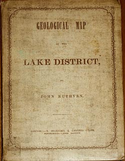
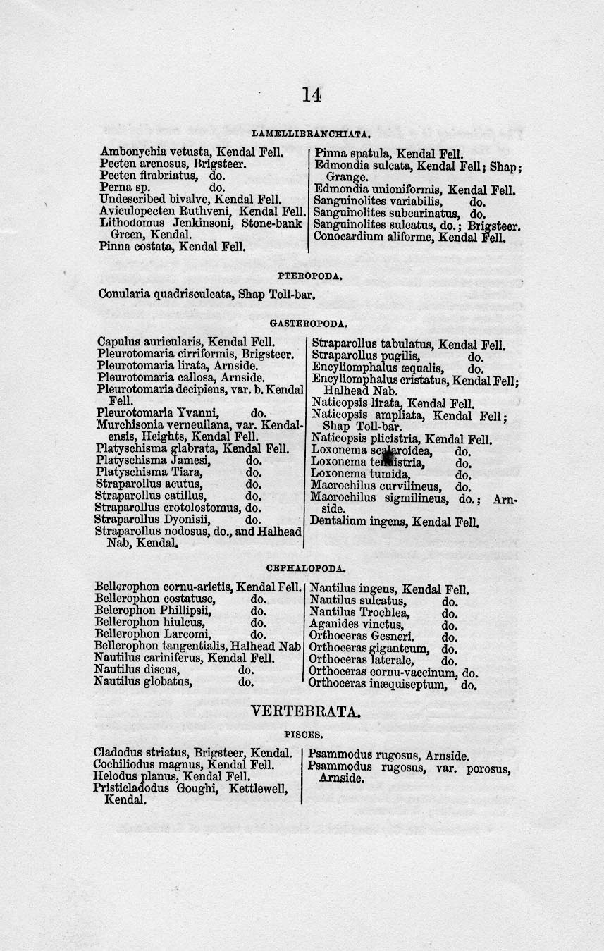
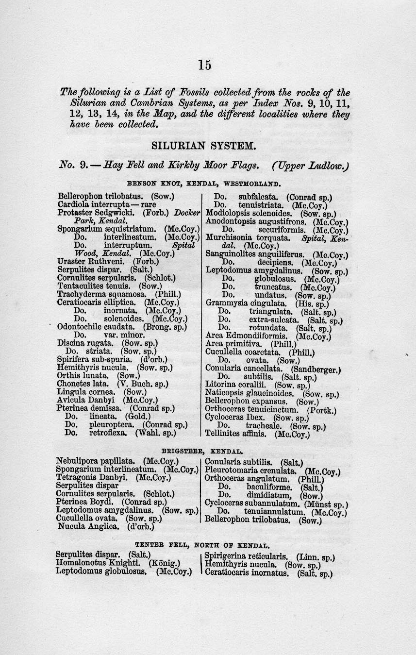
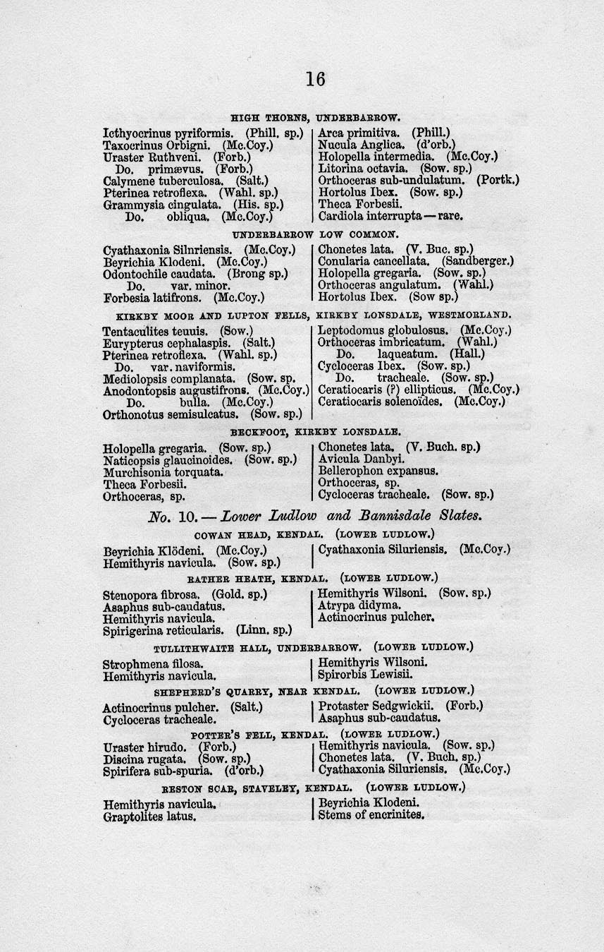
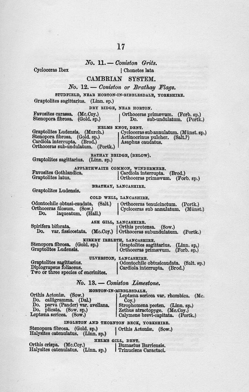
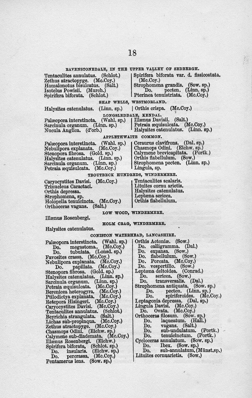
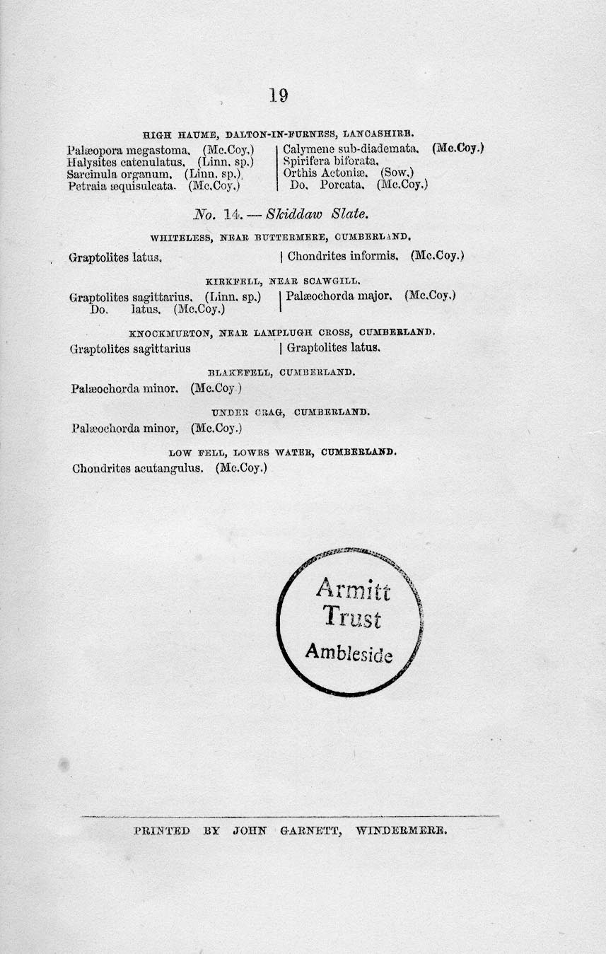
 Ruthven 1855

|

|
|
|
item:- Armitt Library : A1818 image:- © see bottom of page |
click to enlarge |
|
|
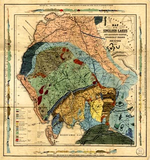
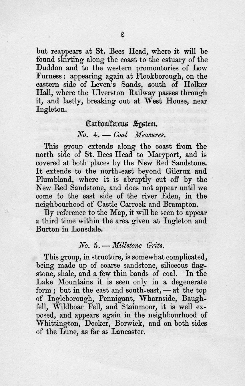
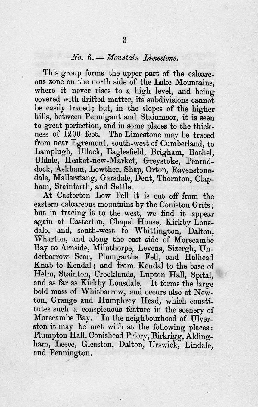
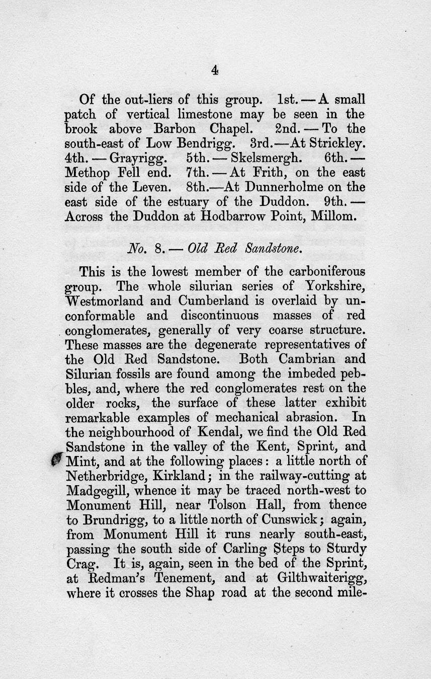
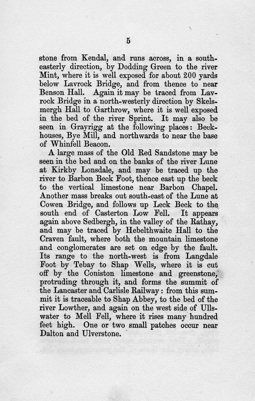
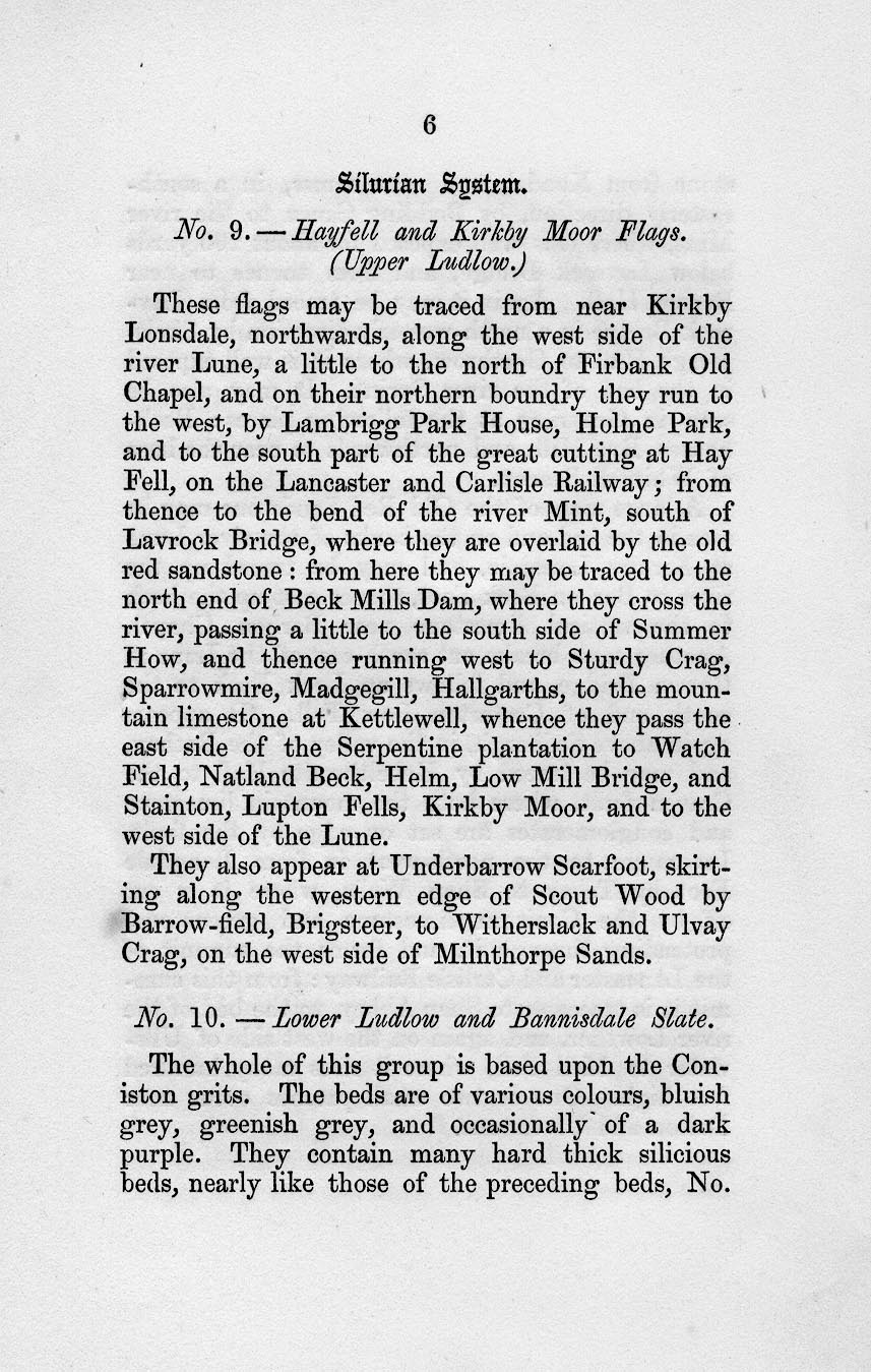
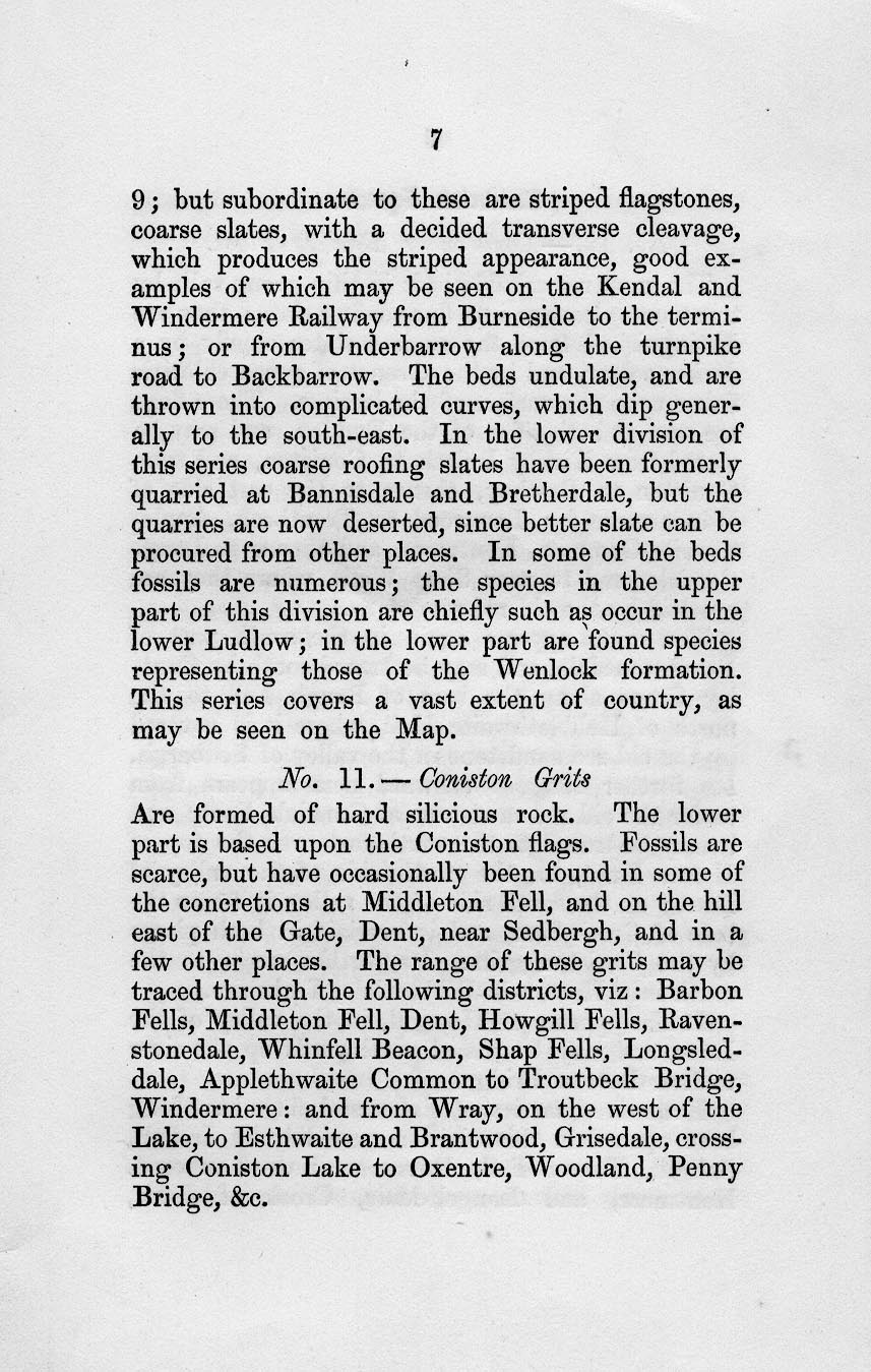
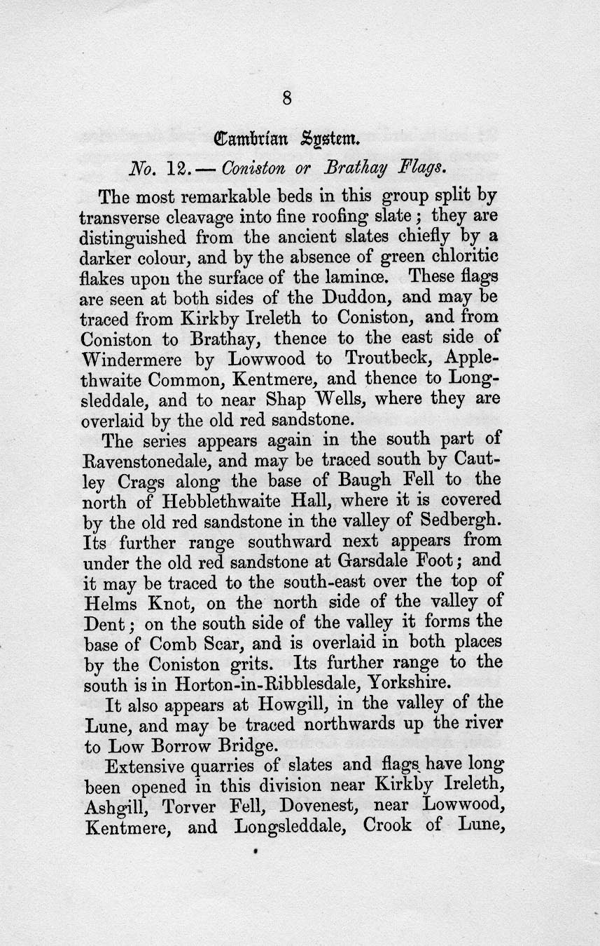
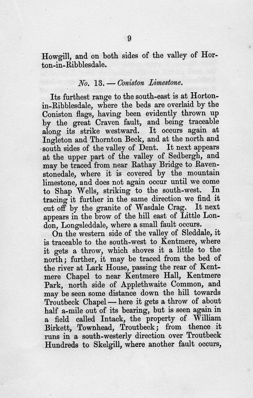
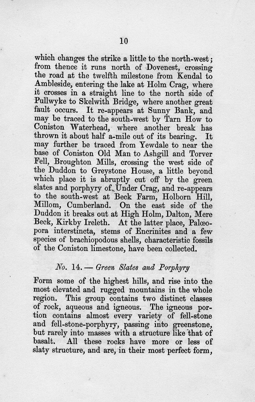
Geological map, hand coloured engraving, Map of the
English Lakes and adjoining country Geologically Coloured,
scale about 3.5 miles to 1 inch, by John Ruthven, Kendal,
engraved by W Banks, Edinburgh, published by John Garnett,
Windermere, Westmorland and by Edward Stanford, 6 Charing
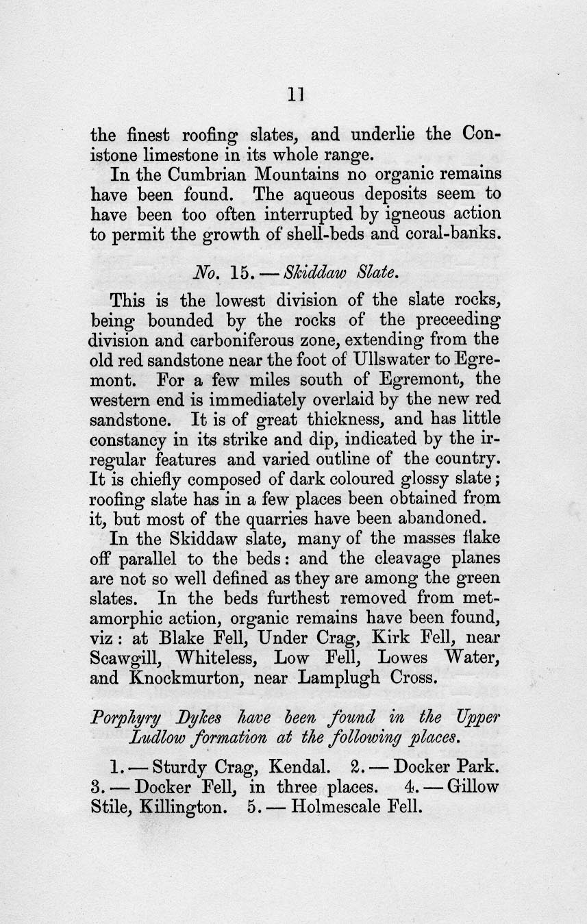
Cross, London, about 1855.
|
||

|
Ruthven 1855 | |
| map feature:- | card cover & mounted & folded (4x3) & north point & up is N & scale line & lat and long scales (rectangular projection, W from Greenwich) & sea plain & coast form lines & rivers & lakes & relief & hill hachuring & forests & county & settlements & roads & railways & canals & geology & stratigraphical column & geological section & descriptive text (in pocket of cover) | |
| inscription:- |
printed upper right
MAP / OF THE / ENGLISH LAKES / AND ADJOINING COUNTRY / GEOLOGICALLY COLOURED / BY / JOHN RUTHVEN / OF KENDAL. / 1855. |
|
| inscription:- |
printed bottom left, right, centre
Engd. by W. Banks. Edinburgh. / Entered at Stationer's Hall. / PUBLISHED BY JOHN GARNETT, WINDERMERE, AND E. STANFORD, 6 CHARING CROSS, LONDON. |
|
| inscription:- | printed: above scale line Scale of Miles | |
| scale line:- | 5 miles = 35.6 mm | |
| wxh, cover:- | 14x20.5cm | |
| wxh, sheet:- | 53.5x57cm | |
| wxh, map:- | 427x455mm | |
| scale:- | 1 to 230000 ? (1 to 226031 from scale line) | |
|
||
|
||
|
||
|
||
|
||
|
||
|
||
|
||
|
||
|
||
|
||
|
||
|
||
|
||
|
||
|
||
|
||
|
||
|
||
|
||
|
||