item:- Armitt Library : A1818
image:- © see bottom of page
 RUN3.jpg
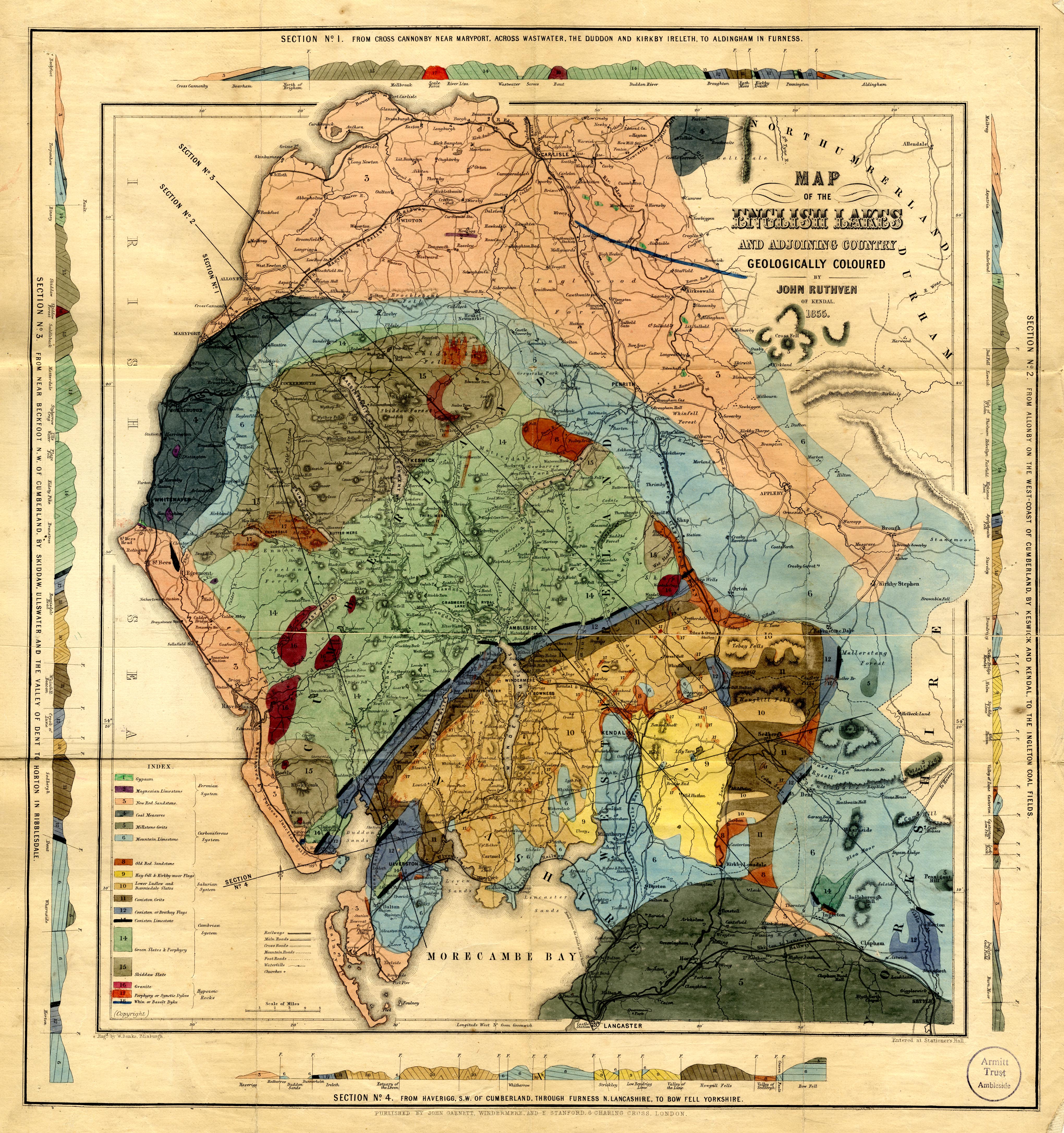
Geological map, hand coloured engraving, Map of the English
Lakes and adjoining country Geologically Coloured, scale about
3.5 miles to 1 inch, by John Ruthven, Kendal, engraved by W
Banks, Edinburgh, published by John Garnett, Windermere,
Westmorland and by Edward Stanford, 6 Charing Cross, London,
about 1855.
 Lakes Guides menu.