 Hydrographic Office 1850s onwards

|

|
|
|
item:- Carlisle Library : Map 93 image:- © Carlisle Library |
click to enlarge | |
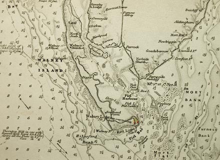
| Illustration of part of map only. | ||
|
Chart, uncoloured engraving, England West Coast sheet XI,
Fleetwood to the Firth of Solway, scale about 2.5 miles to 1
inch, by H Denham and G Williams, 1846, engraved by J and C
Walker, published by the Hydrographic Office, 1850 corrected
to 1863
|
||

|
Hydrographic Office 1850s onwards | |
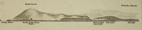
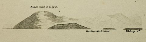
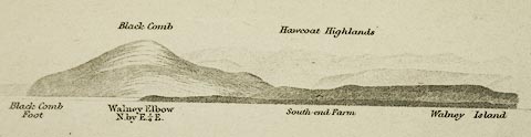
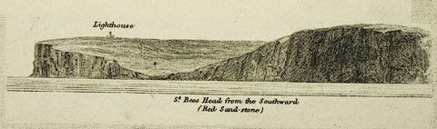
| map feature:- | table of symbols & compass rose & up is N & magnetic deviation (23d 40m W in one place, 24d 0m W in another) & lat and long scales & sea plain & depth soundings & depth contours & tidal streams & sandbanks & foreshore sands & coast shaded (inland side) & lighthouses & coast views & leading lines & sea marks & harbours & rivers & relief & hill hachuring & county & settlements & roads & canals & railways | |
| inscription:- |
printed upper right
ENGLAND / WEST COAST / SHEET XI / FLEETWOOD TO THE FIRTH OF SOLWAY / SURVEYED BY CAPTN. H. DENHAM AND COMMR. G. WILLIAMS. / 1846. / ... |
|
| inscription:- |
printed bottom
Published according to Act of Parliament at the Hydrogaphic Office of the Admiralty Augt. 9th. 1850. / Sold by J. D. Potter Agent for the Admiralty Charts 31 Poultry, & 11 King St. Tower Hill. / Corrections to 1858. |
|
| inscription:- |
printed bootm left
Corrections Decr. 1863. |
|
| inscription:- |
printed bottom right
J. & C. Walker Sculpt. |
|
| wxh, sheet:- | 50x68cm | |
| wxh, map:- | 488x617mm | |
| scale:- | 1 to 150000 ? (1 to 149476 from 0.5d latitude = 372.2 mm) | |
|
images:- © Carlisle Library |
|
|
|
||
|
||
|
||