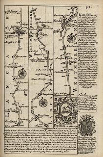

private collection (1_93)
image:-
© see bottom of page

click to enlarge
From Garstang and Lancaster, Lancashire; through Burton, to past Kendal, Westmorland; The map also has the coat of arms and descriptive text for Preston and Bolton, and descriptive text for Carlton and Kendal.
Published in Britannia Depicta Or Ogilby Improv'd, with text by John Owen, by Emanuel Bowen from 1720 to after 1764.


 Bowen 1720