 Cooke 1802

|

|
|
|
item:- Hampshire Museums : FA2000.62.2 image:- © see bottom of page |
click to enlarge |
|
|
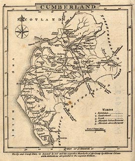
Map, Cumberland, scale about 15.5 miles to 1 inch, by
George Cooke, 1802, bound in Gray's New Book of Roads, 1824,
published by Sherwood, Jones and Co, Paternoster Road,
London, 1824.
|
||

|
Cooke 1802 | |
| inscription:- |
printed top left
2 |
|
| inscription:- |
printed top
CUMBERLAND |
|
| scale line:- | 10 miles = 16.5 mm | |
| wxh, sheet:- | 12x14.5cm | |
| wxh, map:- | 108x124mm | |
| scale:- | 1 to 980000 ? (1 to 975360 from scale line) | |