 Jenner 1643

|

|
|

|
back to object record | |
| MAP FEATURES | ||
|
These notes are about two items, which will be distinguished
only when necessary.
|
||
|
|
||
|
title
plain cartouche |
Printed in a plain cartouche upper left of the triangular
table:-
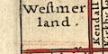
Westmerland. Cu~berland. |
|
|
|
||
|
orientation
up is N up is NE |
Each map is rotated to fit in the spare space in the
triangular table, and is small, and perhaps distorted. No
orientation is signified, and it is difficult to judge from
the maps. Westmorland - is orientated about right on the
page, up is North. The labelling suggests otherwise.
Cumberland - is orientated with NE up on the page.
The column of placenames has directions for each entry, eg:- Appleby. N. The places in the triangular table do not match the places on the map (and neither seem to be a really good selection in either county). Where there is a map is it instructive to plot the direction given on the map, as follows:- 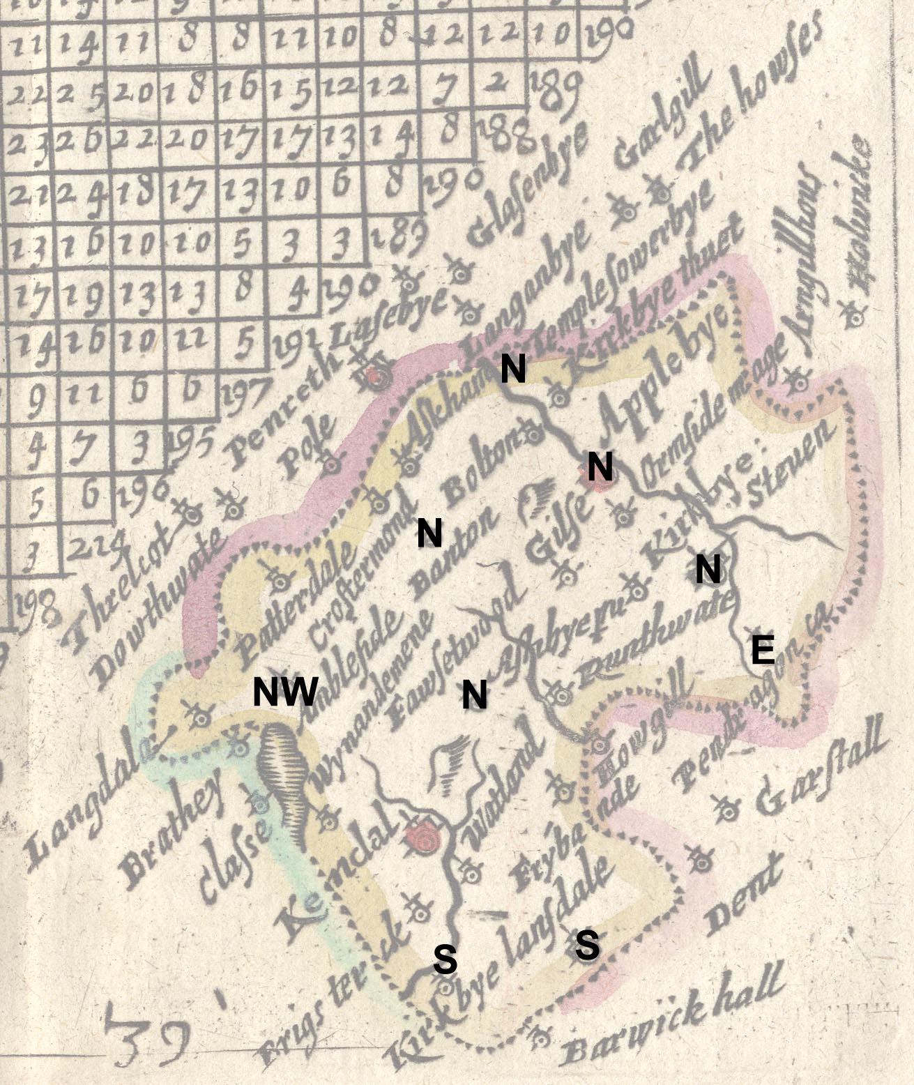
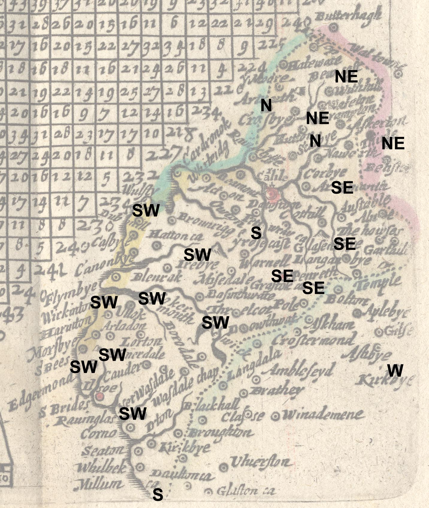
The directions are from the important town,ie Kendal for Westmorland, Carlisle for Cumberland. |
|
|
|
||
|
scale line
scale |
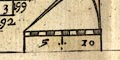
Each map has a scale line with a pair of dividers, compasses, distorted to fit the available space, the divider legs are different lengths. The scale line is chequered in miles, labelled 5 and 10. Westmorland - 10 miles = 15.4 mm gives a scale 1 to 1045029; the map scale is about:- 1 to 1000000 16.5 miles to 1 inch Cumberland - 10 miles = 11.9 mm gives a scale 1 to 1352390 1 to 1400000 21 miles to 1 inch Less unreliable distances might be had from the table of distances. |
|
|
|
||
|
sea area
sea plain |
What sea is shown is plain.
|
|
|
|
||
|
coast line
coast shaded |
The coast line, Cumberland, is shaded for emphasis. |
|
|
|
||
| rivers |
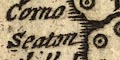
A few rivers are drawn by a tapering wiggly double line, shaded in the broader estuary parts. None are labelled, but it is possible to recognise a major river, eg:- River Kent |
|
|
|
||
| lakes |
A few lakes are drawn by a crude outline, with shaded interior or shore line. The few maps on the two maps can be recognised:- Windermere Derwent Water Bassenthwaite Lake [perhaps] |
|
|
|
||
|
relief
hillocks |
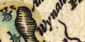
One or two hillocks, shaded to the east, indicate relief. They appear to be popped into available spaces and bear little relationship to the shape of the Lake District. |
|
|
|
||
| county |

County boundaries are dotted lines. The boundary is tinted along the inside of the county. Adjacent counties have different tints. These seem confused, the tint for Scotland continuing along the sea coast, the division between other adjacent counties confused. |
|
|
|
||
| settlements |
Settlements are marked by a dot and circle with added
elements. Some circles are tinted red. obscuring the
engraving. All labelling is in italic lowercase text. The
text size varies, but as Carlisle is very small the meaning
of Kendal and Appleby being larger is not so certain.
|
|
|
cities
towns |
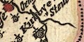
dot and double circle, buildings and tower; labelled in
italic lowercase text, eg:-
Carlile the r inserted as an afterthought. 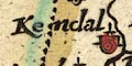
Kirkbye Steven Kendal |
|
|
villages
hamlets |
dot and circle, and perhaps a tower; labelled in italic
lowercase text, eg:-
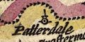
Patterdale Wynandemene Cokermouth All places in Westmorland have a tower; all places in Cumberland do not. |
|
|
Note that the spellings on one map do not match the
spellings in the left column or top row of the triangular
table, nor the spellings on the other sheet.
|
||
Lakes Guides menu.