Old Cumbria Gazetteer
 |
 |
|
||
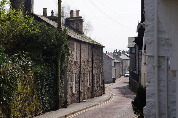
| Low Fellside, Kendal | ||||
| Low Fellside | ||||
| locality:- | Kendal | |||
| civil parish:- | Kendal (formerly Westmorland) | |||
| county:- | Cumbria | |||
| locality type:- | locality | |||
| locality type:- | buildings | |||
| coordinates:- | SD51239278 (etc) | |||
| 1Km square:- | SD5192 | |||
| 10Km square:- | SD59 | |||
|
|
||||
| evidence:- | old map:- Jefferys 1770 (Wmd) placename:- Fell Side |
|||
| source data:- | Map, 4 sheets, The County of Westmoreland, scale 1 inch to 1
mile, surveyed 1768, and engraved and published by Thomas
Jefferys, London, 1770. J5SD59SW.jpg "FELL SIDE" area item:- National Library of Scotland : EME.s.47 Image © National Library of Scotland |
|||
|
|
||||
| places:- |
|
|||
 Lakes Guides menu.