 Old Cumbria Gazetteer
 |
 |
|
| school, Brough | ||
| Brough School | ||
| Street:- | Swan Avenue | |
| locality:- | Brough | |
| civil parish:- | Brough (formerly Westmorland) | |
| county:- | Cumbria | |
| locality type:- | school (ex) | |
| locality type:- | restaurant | |
| coordinates:- | NY79451455 | |
| 1Km square:- | NY7914 | |
| 10Km square:- | NY71 | |
|
|
||
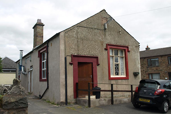 BVC25.jpg (taken 29.7.2011) |
||
|
|
||
| evidence:- | old map:- OS County Series (Wmd 16 15) |
|
| source data:- | Maps, County Series maps of Great Britain, scales 6 and 25
inches to 1 mile, published by the Ordnance Survey, Southampton,
Hampshire, from about 1863 to 1948. "National School" |
|
|
|
||
| evidence:- | old text:- Camden 1789 (Gough Additions) |
|
| source data:- | Book, Britannia, or A Chorographical Description of the Flourishing Kingdoms of England,
Scotland, and Ireland, by William Camden, 1586, translated from the 1607 Latin edition
by Richard Gough, published London, 1789. goto source goto sourcePage 157:- "..." "... Lower or Market Brough, ... The chapel here is now a freeschool." |
|
|
|
||
Lakes Guides menu.