Old Cumbria Gazetteer
 |
 |
|
||
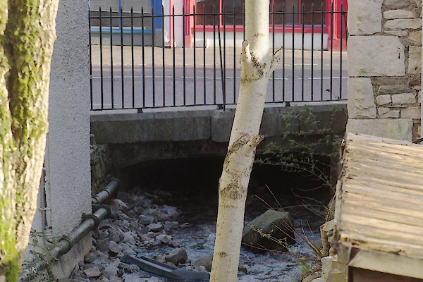
| Blind Beck (3) | ||||
| runs into:- |  Kent, River Kent, River |
|||
|
|
||||
| Blind Beck | ||||
| locality:- | Kendal | |||
| civil parish:- | Kendal (formerly Westmorland) | |||
| county:- | Cumbria | |||
| locality type:- | river | |||
| 1Km square:- | SD5192 (etc) | |||
| 10Km square:- | SD59 | |||
|
|
||||
| evidence:- | old map:- OS County Series (Wmd 38 8) placename:- Blind Beck |
|||
| source data:- | Maps, County Series maps of Great Britain, scales 6 and 25
inches to 1 mile, published by the Ordnance Survey, Southampton,
Hampshire, from about 1863 to 1948. "Blind Beck" |
|||
|
|
||||
| evidence:- | old map:- Speed 1611 placename:- Blinde Beck |
|||
| source data:- | Map, hand coloured engraving, The Countie Westmorland and
Kendale the Cheif Towne, scale about 2.5 miles to 1 inch, by
John Speed, 1610, published by George Humble, Popes Head Alley,
London, 1611-12.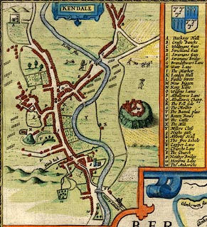 click to enlarge click to enlargeSP14Mk.jpg "Blinde Beck" stream, into the Kent item:- Armitt Library : 2008.14.5 Image © see bottom of page |
|||
|
|
||||
| evidence:- | old map:- Jefferys 1770 placename:- Blind Beck |
|||
| source data:- | Map, 4 sheets, The County of Westmoreland, scale 1 inch to 1
mile, surveyed 1768, and engraved and published by Thomas
Jefferys, London, 1770.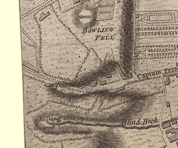 J55192G.jpg 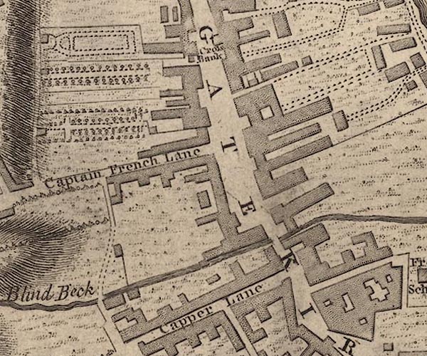 J55192L.jpg 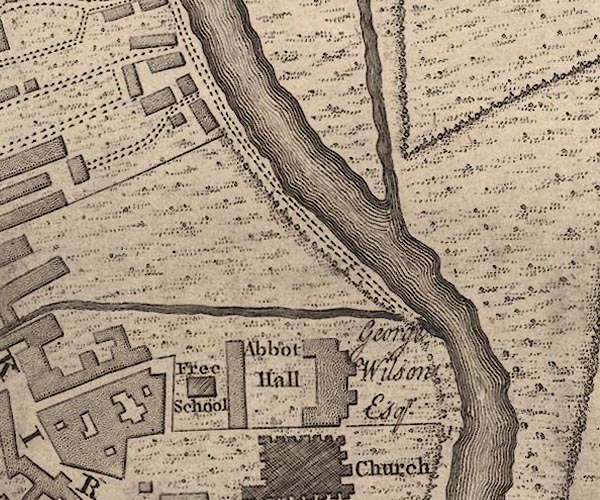 J55192R.jpg "Blind Beck" river item:- National Library of Scotland : EME.s.47 Images © National Library of Scotland |
|||
|
|
||||
| places:- |
|
|||
Lakes Guides menu.