 |
 |
|
|
|
| runs into:- |
 Hawes Water Hawes Water |
|
|
|
|
| civil parish:- |
Shap Rural (formerly Westmorland) |
| county:- |
Cumbria |
| locality type:- |
river |
| 1Km square:- |
NY4510 (etc) |
| 10Km square:- |
NY41 |
|
|
| evidence:- |
old map:- Jefferys 1770 (Wmd)
|
| source data:- |
Map, 4 sheets, The County of Westmoreland, scale 1 inch to 1
mile, surveyed 1768, and engraved and published by Thomas
Jefferys, London, 1770.
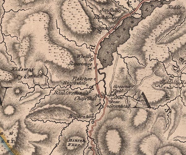
J5NY41SE.jpg
single or double wiggly line; river
item:- National Library of Scotland : EME.s.47
Image © National Library of Scotland |
|
|
| places:- |
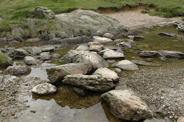 |
NY45671011 stepping stones, Mardale (Shap Rural) |
|
|
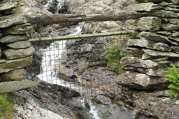 |
NY46071046 water gate, Mardale (Shap Rural) |
|
|
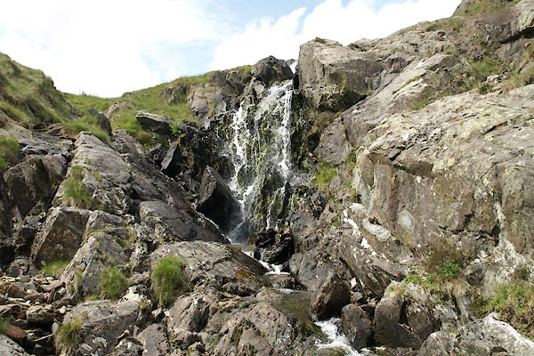 |
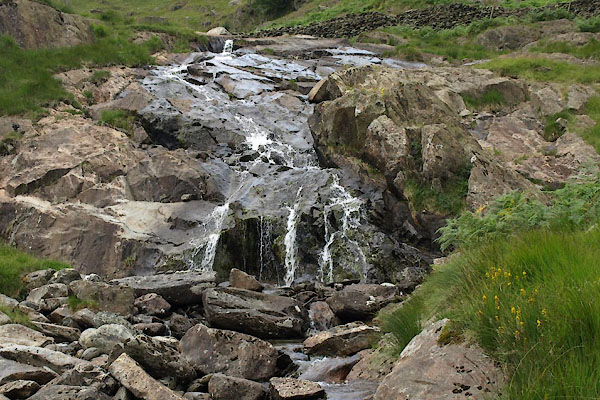
NY45871027 waterfall, Mardale (3) (Shap Rural) |
|
|
 |
NY46101048 waterfall, Mardale (2) (Shap Rural) |
|
