 Old Cumbria Gazetteer
 |
 |
|
| Old Toll Bar, North Yorkshire | ||
| Old Toll Bar | ||
| site name:- | road, Kirkby Lonsdale to Settle | |
| county:- | North Yorkshire | |
| locality type:- | toll gate (site) | |
| locality type:- | buildings | |
| locality type:- | toll house (ex) | |
| coordinates:- | SD75206845 | |
| 1Km square:- | SD7568 | |
| 10Km square:- | SD76 | |
|
|
||
| evidence:- | old map:- OS County Series placename:- Clapham Toll Gate |
|
| source data:- | Maps, County Series maps of Great Britain, scales 6 and 25
inches to 1 mile, published by the Ordnance Survey, Southampton,
Hampshire, from about 1863 to 1948. "Clapham Toll Gate" |
|
|
|
||
| evidence:- | old map:- Ford 1839 map placename:- Spirta Gate |
|
| source data:- | Map, uncoloured engraving, Map of the Lake District of
Cumberland, Westmoreland and Lancashire, scale about 3.5 miles
to 1 inch, published by Charles Thurnam, Carlisle, and by R
Groombridge, 5 Paternoster Row, London, 3rd edn 1843.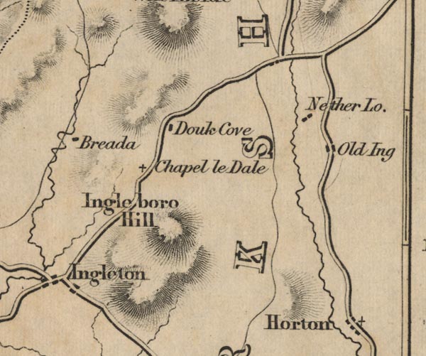 FD02SD77.jpg "Spirta Gate" item:- JandMN : 100.1 Image © see bottom of page |
|
|
|
||
 Lakes Guides menu.