 |
 |
   |
|
|
|
gone? |
|
Brandrith Stone |
|
Brandreth Stone |
|
Brandery Stone |
| site name:- |
Galloper Field |
| locality:- |
Tebay |
| civil parish:- |
Tebay (formerly Westmorland) |
| county:- |
Cumbria |
| locality type:- |
stone |
| coordinates:- |
NY61600490 (roughly) |
| 1Km square:- |
NY6104 |
| 10Km square:- |
NY60 |
| references:- |
Morden 1695
|
|
|
| evidence:- |
old map:- OS County Series (Wmd 28 8)
placename:- Brandreth Stone
|
| source data:- |
Maps, County Series maps of Great Britain, scales 6 and 25
inches to 1 mile, published by the Ordnance Survey, Southampton,
Hampshire, from about 1863 to 1948.
|
|
|
| evidence:- |
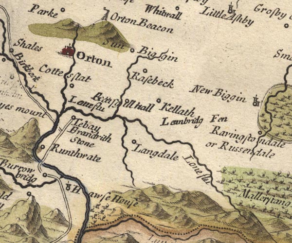
old map:- Morden 1695 (Wmd)
placename:- Brandrith Stone
|
| source data:- |
Map, hand coloured engraving, Westmorland, scale about 2.5 miles to 1 inch, by Robert
Morden, published by Abel Swale, the Unicorn, St Paul's Churchyard, Awnsham, and John
Churchill, the Black Swan, Paternoster Row, London, 1695.

MD10NY60.jpg
"Brandrith Stone"
No symbol.
item:- JandMN : 24
Image © see bottom of page
|
|
|
| evidence:- |
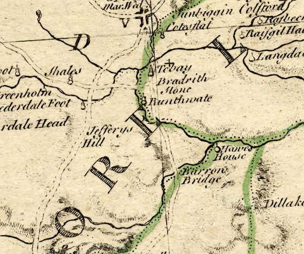
old map:- Bowen and Kitchin 1760
placename:- Bradrith Stone
|
| source data:- |
Map, hand coloured engraving, A New Map of the Counties of
Cumberland and Westmoreland Divided into their Respective Wards,
scale about 4 miles to 1 inch, by Emanuel Bowen and Thomas
Kitchin et al, published by T Bowles, Robert Sayer, and John
Bowles, London, 1760.

BO18NY50.jpg
"Bradrith Stone"
no symbol
item:- Armitt Library : 2008.14.10
Image © see bottom of page
|
|
|
| evidence:- |
old text:- Camden 1789 (Gough Additions)
placename:- Brandreth Stone
item:- boundary stone; Gallaber
|
| source data:- |
Book, Britannia, or A Chorographical Description of the Flourishing Kingdoms of England,
Scotland, and Ireland, by William Camden, 1586, translated from the 1607 Latin edition
by Richard Gough, published London, 1789.
 goto source goto source
Page 155:- "..."
"... a field called Gallaber, where stands Brandreth stone,a red stone about an ell
high with two crosses cut deep on one side. The tradition of the inhabitants makes
it the mere stone between the English and the Scots, and it is worthy observation,
that it is about the same distance from Scotland as Rere cross on Stanemore, of which
see before in Richmondshire. It may be the stone of which Leland VII. 63. says, "There
is in Westmorland as it is said a famous stone as a limes of old time, inscribed.""
|
|
|
hearsay:-
|
It is said that this is where cattle were branded.
|
|
|


 goto source