 Old Cumbria Gazetteer
 |
 |
|
| Canal Head, Kendal | ||
| Canal Head | ||
| site name:- | Lancaster Canal | |
| locality:- | Kendal | |
| civil parish:- | Kendal (formerly Westmorland) | |
| county:- | Cumbria | |
| locality type:- | canal wharf | |
| locality type:- | wharf | |
| coordinates:- | SD51989259 (approx) | |
| 1Km square:- | SD5192 | |
| 10Km square:- | SD59 | |
| SummaryText:- | Two roads, Canal Head South and Canal Head North, lie either side where a basin extended at right angles to the canal end. | |
|
|
||
| evidence:- | old map:- OS County Series (Wmd 38 8) placename:- Canal Basin placename:- Aynam Wharves |
|
| source data:- | Maps, County Series maps of Great Britain, scales 6 and 25
inches to 1 mile, published by the Ordnance Survey, Southampton,
Hampshire, from about 1863 to 1948. "CANAL BASIN / Aynam Wharves (Coal) / Coal Yards" |
|
|
|
||
| evidence:- | old map:- Otley 1818 |
|
| source data:- | Map, uncoloured engraving, The District of the Lakes,
Cumberland, Westmorland, and Lancashire, scale about 4 miles to
1 inch, by Jonathan Otley, 1818, engraved by J and G Menzies,
Edinburgh, Scotland, published by Jonathan Otley, Keswick,
Cumberland, et al, 1833.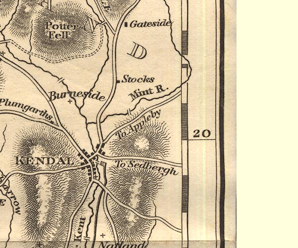 OT02SD59.jpg item:- JandMN : 48.1 Image © see bottom of page |
|
|
|
||
 Lakes Guides menu.