 |
 |
   |
|
|
|
out of sight |
|
Whitehall |
| locality:- |
Mealsgate |
| civil parish:- |
Allhallows (formerly Cumberland) |
| county:- |
Cumbria |
| locality type:- |
buildings |
| locality type:- |
moat |
| coordinates:- |
NY20184159 |
| 1Km square:- |
NY2041 |
| 10Km square:- |
NY24 |
|
|
|
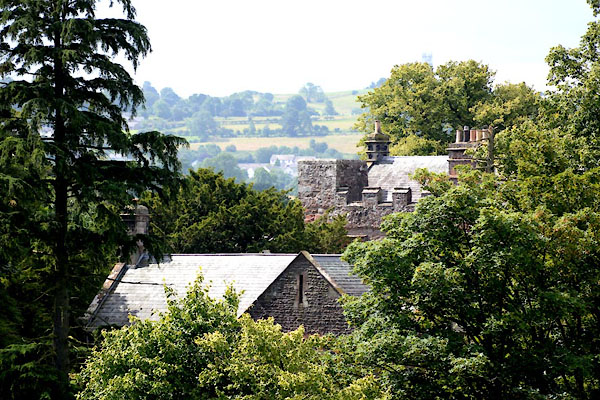
CGH63.jpg (taken 4.8.2017)
|
|
|
| evidence:- |
old map:- OS County Series (Cmd 36 7)
placename:- Whitehall
|
| source data:- |
Maps, County Series maps of Great Britain, scales 6 and 25
inches to 1 mile, published by the Ordnance Survey, Southampton,
Hampshire, from about 1863 to 1948.
|
|
|
| evidence:- |
old map:- Ogilby 1675 (plate 96)
placename:- Whitehall
|
| source data:- |
Road strip map, hand coloured engraving, the Road from Kendal to
Cockermouth, and the Road from Egremond to Carlisle, scale about
1 inch to 1 mile, by John Ogilby, London, 1675.
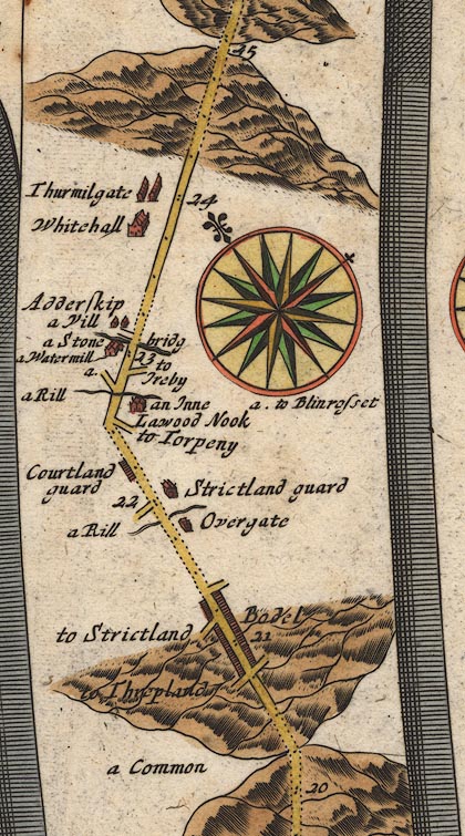
OG96Bm20.jpg
In mile 23, Cumberland. "Whitehall"
large house off the left of the road.
item:- JandMN : 22
Image © see bottom of page
|
|
|
| evidence:- |
old map:- Bowen 1720 (plate 261)
placename:- Whitehall
|
| source data:- |
Road strip map, uncoloured engraving, pl.261, the end of the
road from Kendal to Cockermouth and the road from Egremont to
Carlisle, scale about 2 miles to 1 inch, published by Emanuel
Bowen, St Katherines, London, 1720.
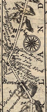
B261m20.jpg
At mile 23-24 from Egremont.
item:- Dove Cottage : Lowther.36
Image © see bottom of page
|
|
|
| evidence:- |
possibly descriptive text:- Simpson 1746
placename:- Whitehall
|
| source data:- |
Atlas, three volumes of maps and descriptive text published as
'The Agreeable Historian, or the Compleat English Traveller
...', by Samuel Simpson, 1746.
 goto source goto source
"... Whitehall, Mr. Salkeld's ..."
|
|
|
| evidence:- |
probably old map:- Bowen and Kitchin 1760
placename:- Whitehall
|
| source data:- |
Map, hand coloured engraving, A New Map of the Counties of
Cumberland and Westmoreland Divided into their Respective Wards,
scale about 4 miles to 1 inch, by Emanuel Bowen and Thomas
Kitchin et al, published by T Bowles, Robert Sayer, and John
Bowles, London, 1760.
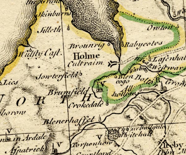
BO18NY14.jpg
"Whitehall"
circle and line
item:- Armitt Library : 2008.14.10
Image © see bottom of page
|
|
|
| evidence:- |
old map:- Donald 1774 (Cmd)
placename:- White Hall
|
| source data:- |
Map, hand coloured engraving, 3x2 sheets, The County of Cumberland, scale about 1
inch to 1 mile, by Thomas Donald, engraved and published by Joseph Hodskinson, 29
Arundel Street, Strand, London, 1774.
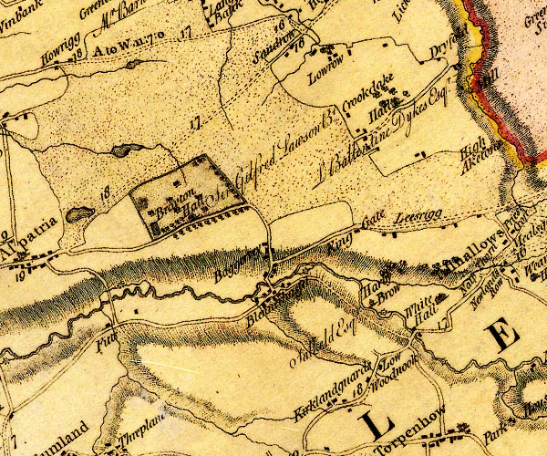
D4NY14SE.jpg
"White Hall"
house and hamlet
item:- Carlisle Library : Map 2
Image © Carlisle Library |
|
|
| evidence:- |
database:- Listed Buildings 2010
placename:- Whitehall
item:- coat of arms; date stone (1589)
|
| source data:- |
courtesy of English Heritage
"WHITEHALL / / / ALLHALLOWS / ALLERDALE / CUMBRIA / I / 72309 / NY2019141632"
|
|
|
notes:-
|
Hall and tower; there is a moat very close by
|
|
Perriam, D R &Robinson, J: 1998: Medieval Fortified Buildings of Cumbria: CWAAS::
ISBN 1 873124 23 6; plan and illustration
|
|
|


 goto source

