 Old Cumbria Gazetteer
 |
 |
|
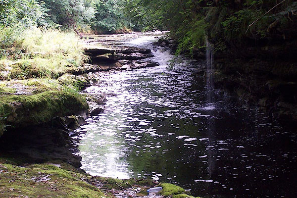
| waterfall, Sedgwick | ||
| site name:- | Kent, River | |
| civil parish:- | Sedgwick (formerly Westmorland) | |
| civil parish:- | Helsington (formerly Westmorland) | |
| county:- | Cumbria | |
| locality type:- | waterfall | |
| coordinates:- | SD50708693 | |
| 1Km square:- | SD5086 | |
| 10Km square:- | SD58 | |
| SummaryText:- | Upstream of Force Bridge. | |
|
|
||
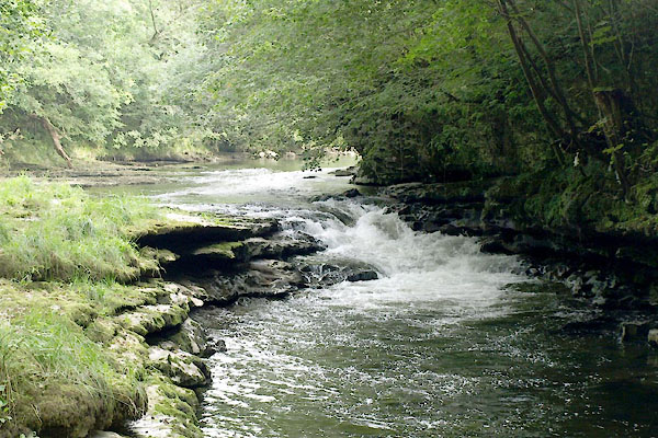 BXD38.jpg (taken 15.8.2012) 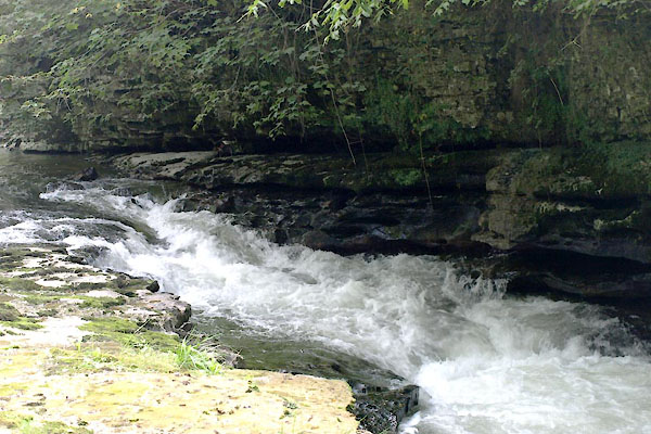 BXD39.jpg (taken 15.8.2012) |
||
|
|
||
| evidence:- | old map:- Jefferys 1770 (Wmd) |
|
| source data:- | Map, 4 sheets, The County of Westmoreland, scale 1 inch to 1
mile, surveyed 1768, and engraved and published by Thomas
Jefferys, London, 1770.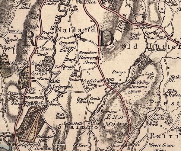 J5SD58NW.jpg "Waterfalls" no symbol item:- National Library of Scotland : EME.s.47 Image © National Library of Scotland |
|
|
|
||
 BJS37.jpg (taken 12.8.2005) 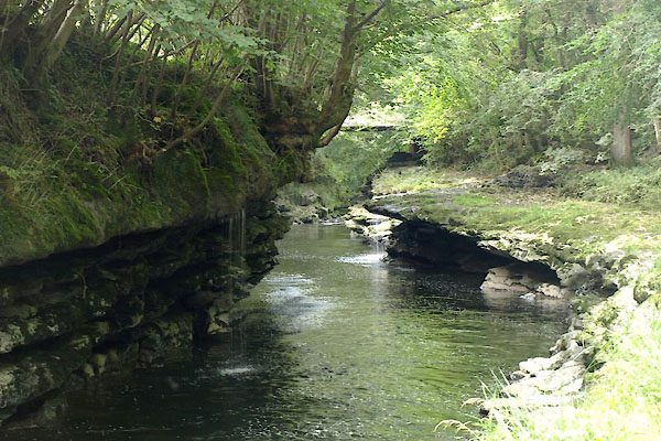 BXD40.jpg (taken 15.8.2012) 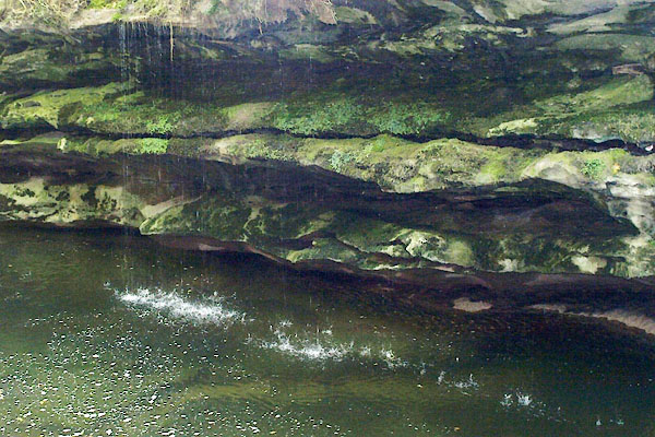 BXD41.jpg (taken 15.8.2012) |
||
|
|
||
 Lakes Guides menu.