 Old Cumbria Gazetteer
 |
 |
|
||
| Stickle Gill | ||||
| Stickle Ghyll | ||||
| locality:- | Great Langdale | |||
| civil parish:- | Lakes (formerly Westmorland) | |||
| county:- | Cumbria | |||
| locality type:- | river | |||
| 1Km square:- | NY2906 | |||
| 10Km square:- | NY20 | |||
|
|
||||
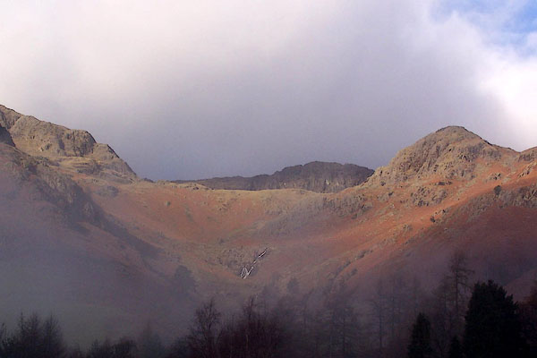 BLK79.jpg Stickle Ghyll from the road. (taken 5.12.2005) 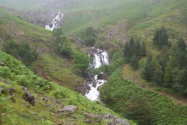 BUY63.jpg (taken 16.7.2011) |
||||
|
|
||||
| evidence:- | descriptive text:-  goto source goto sourceplacename:- Mill Beck |
|||
| source data:- | goto source Page 33:- "... Stickle Tarn, ... The stream falling into Langdale, at Millbeck, in a foaming cataract, may be seen at a distance." goto sourcePage 104:- "[Dungeon Gill] ... Mill Beck is the stream flowing from Stickle Tarn, and gives name to two farm-houses," Otley is describing the waterfall in Dungeon Gill ie the ravine, and saying the stream is called the Mill Beck. While I do not know what local usage is, the OS maps confuse gill and beck names. |
|||
|
|
||||
| evidence:- | old map:- Jefferys 1770 (Wmd) |
|||
| source data:- | Map, 4 sheets, The County of Westmoreland, scale 1 inch to 1
mile, surveyed 1768, and engraved and published by Thomas
Jefferys, London, 1770.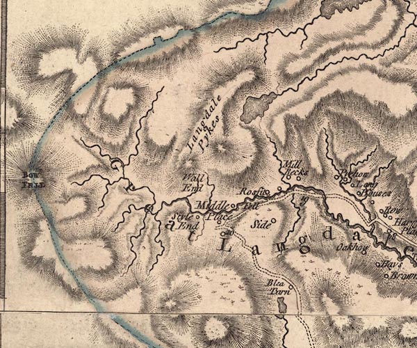 J5NY20NE.jpg single or double wiggly line; river item:- National Library of Scotland : EME.s.47 Image © National Library of Scotland |
|||
|
|
||||
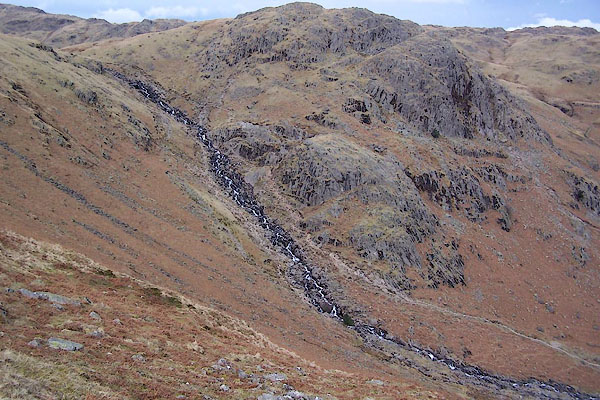 BSJ10.jpg and Tarn Crag. (taken 23.3.2010) 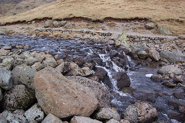 BSJ09.jpg (taken 23.3.2010) BSJ10.jpg and Tarn Crag. (taken 23.3.2010) 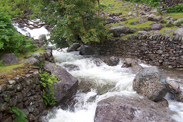 BUY66.jpg At the footbridge, (taken 16.7.2011) 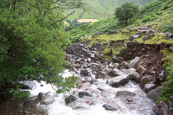 BUY67.jpg At the footbridge, (taken 16.7.2011) 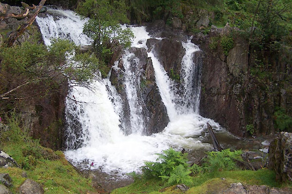 BUY68.jpg Waterfall, (taken 16.7.2011) 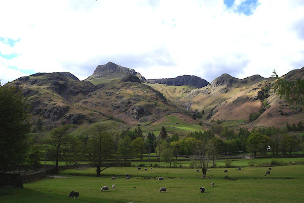 CAO01.jpg (taken 2.5.2014) |
||||
|
|
||||
| places:- |
|
|||
Lakes Guides menu.