

 Crummock Water
 Loweswater lake
 goto source
Page 140:- "..."
"An evening view of both lakes [Loweswater and Crummock Water], is from the side of Mell-break, at the gate, under a coppice of oaks, in the road to Ennerdale. No-"
 goto source
Page 141:- "[No]thing exceeds, in composition, the parts of this landscape. They are all great, and lie in fine order of perspective. If the view be taken from the round knoll, at the lower end of the lake, the appearance of the mountains that bound it is astonishing. You have Mellbreak on the right, and Grasmire on the left, and betwixt them, a stupendous amphitheatre of mountains, whose tops are all broken and dissimilar, and of different hues, and their bases skirted with wood, or clothed with verdure. In the centre point of this amphitheatre is a huge pyramidal broken rock, that seems with its figure to change place, as you move across the fore-ground, and gives much variety to the scenes, and alters the picture at every pace. In short, the picturesque views in this district are many; some mixt, others purely sublime, but all surprise and please. The genius of the greatest adepts in landscape, might here improve in taste and judgement; and the most enthusiastic ardor for pastoral poetry and painting, will here find an inexhaustible source of scenes and images."

CT8NY12K.jpg
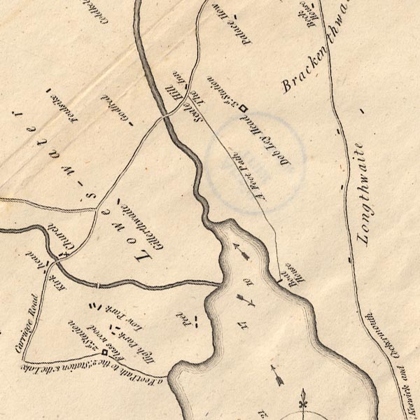
"2d. Station / Flass wood"
With the map title:- "... The 2d. Station was the Favourite one of Dr. Brownrigg, and Dr. Franklin ..."
item:- Armitt Library : 1959.191.2
Image © see bottom of page
placename:- station, Buttermere, Crosthwaite 2
"2d. Station / Flass wood"
"The 2d. Station was the Favourite of one of Dr. Brownrigg, and Dr. Franklin, ..."
: Crosthwaite, Peter
