 Old Cumbria Gazetteer
 |
 |
|
| Silloth Bay, Silloth-on-Solway | ||
| Silloth Bay | ||
| site name:- | Solway Firth | |
| locality:- | Silloth | |
| civil parish:- | Silloth-on-Solway (formerly Cumberland) | |
| county:- | Cumbria | |
| locality type:- | bay | |
| coordinates:- | NY10535440 (etc) | |
| 1Km square:- | NY1054 | |
| 10Km square:- | NY15 | |
|
|
||
 BRA92.jpg From the harbour end. (taken 10.7.2009) 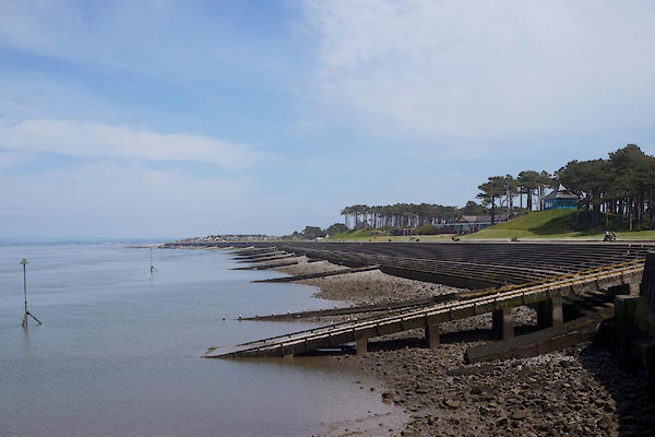 CDH34.jpg From the harbour end; note the lifeboat slipway. (taken 12.6.2015) |
||
|
|
||
| evidence:- | old map:- OS County Series (Cmd 20 11) placename:- Silloth Bay |
|
| source data:- | Maps, County Series maps of Great Britain, scales 6 and 25
inches to 1 mile, published by the Ordnance Survey, Southampton,
Hampshire, from about 1863 to 1948. |
|
|
|
||
| evidence:- | old map:- Ford 1839 map placename:- Silloth Bay |
|
| source data:- | Map, uncoloured engraving, Map of the Lake District of
Cumberland, Westmoreland and Lancashire, scale about 3.5 miles
to 1 inch, published by Charles Thurnam, Carlisle, and by R
Groombridge, 5 Paternoster Row, London, 3rd edn 1843.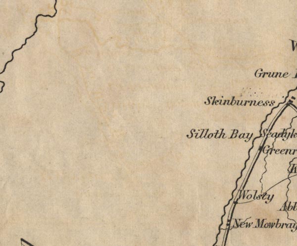 FD02NY05.jpg "Silloth Bay" Sea area. item:- JandMN : 100.1 Image © see bottom of page |
|
|
|
||
| evidence:- | old print:- placename:- Silloth Bay |
|
| source data:- | Print, hand coloured engraving, Entrance to Silloth Bay and Dock, Cumberland, published
by Hudson Scott, litho printer, Carlisle, Cumbria, 1870.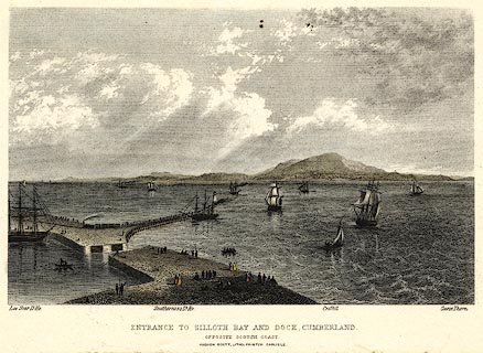 click to enlarge click to enlargePR0369.jpg There is shipping in the offing and at the dock, a train leaving the quay; some scottish coastal features are labelled - Lee Scar lighthouse, Southerness lighthouse, Criffel and Carse Thorn. printed at bottom:- "ENTRANCE TO SILLOTH BAY AND DOCK, CUMBERLAND. / OPPOSITE THE SCOTCH COAST / HUDSON SCOTT, LITHO PRINTER CARLISLE." item:- Dove Cottage : 2008.107.369 Image © see bottom of page |
|
|
|
||
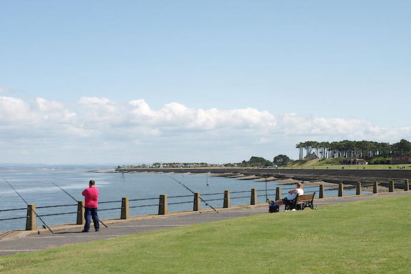
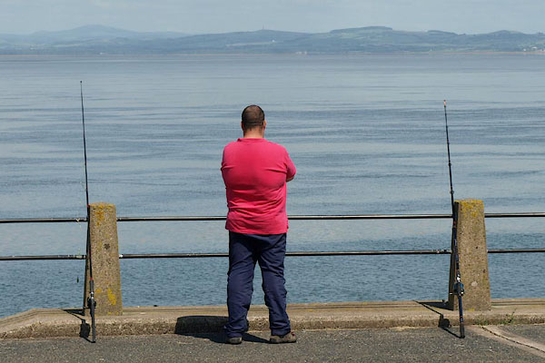 BRA93.jpg Fishing, at the harbour end. (taken 10.7.2009)  CFX18.jpg Fishing boat. (taken 7.3.2017) |
||
|
|
||
 Lakes Guides menu.