Old Cumbria Gazetteer
 |
 |
|
||
| Seathwaite, Borrowdale | ||||
| Seathwaite | ||||
| Seathet | ||||
| Seuthwayt | ||||
| civil parish:- | Borrowdale (formerly Cumberland) | |||
| county:- | Cumbria | |||
| locality type:- | locality | |||
| locality type:- | buildings | |||
| coordinates:- | NY23531217 (etc) | |||
| 1Km square:- | NY2312 | |||
| 10Km square:- | NY21 | |||
|
|
||||
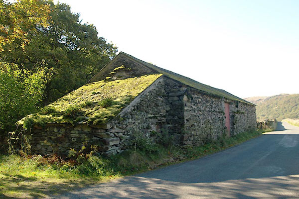
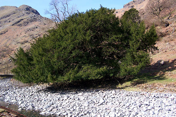
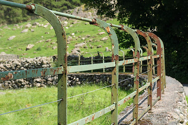
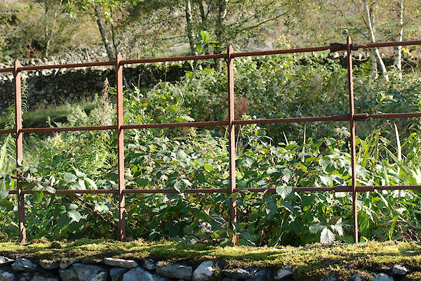
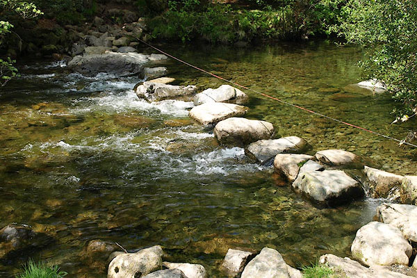
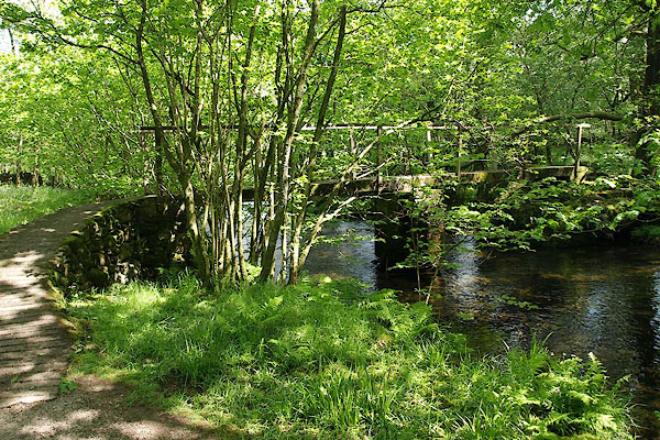
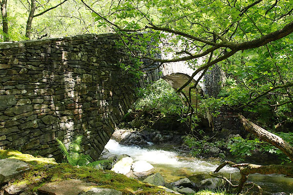
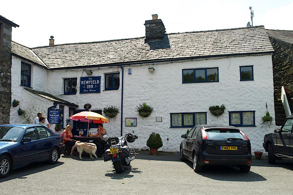
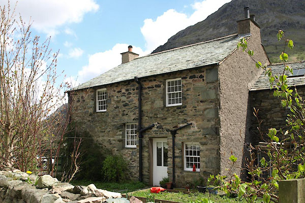
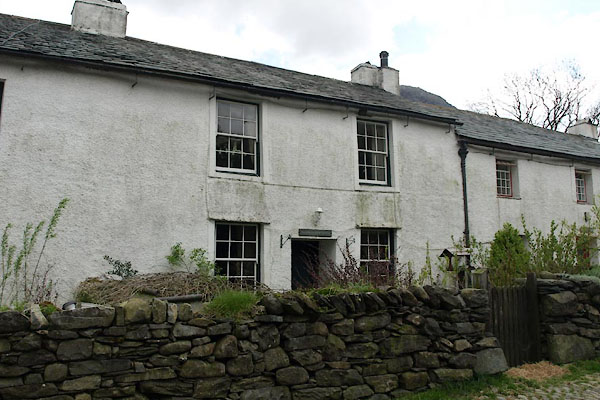
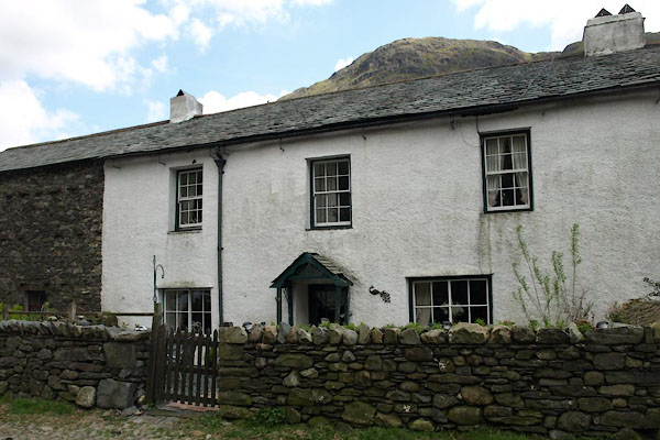
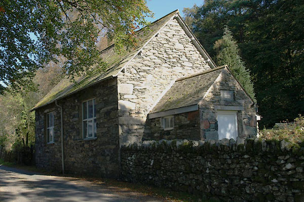
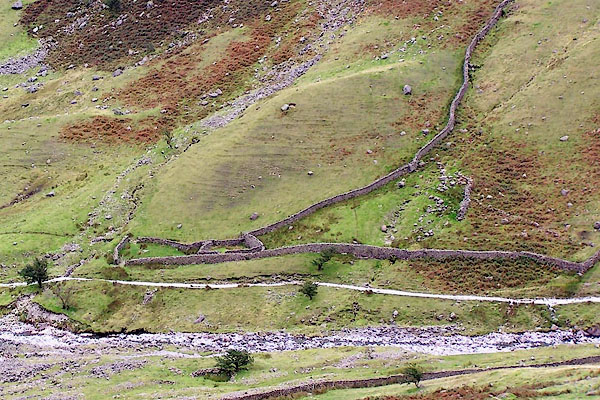
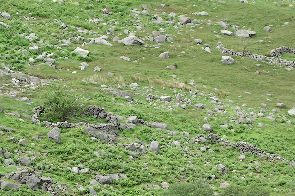
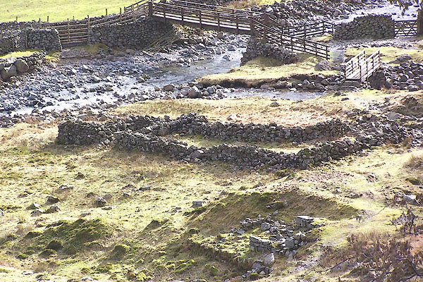
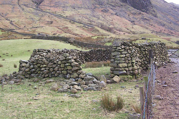
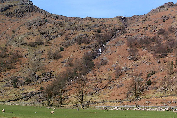
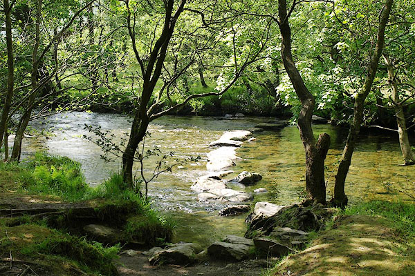
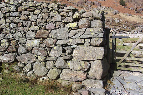
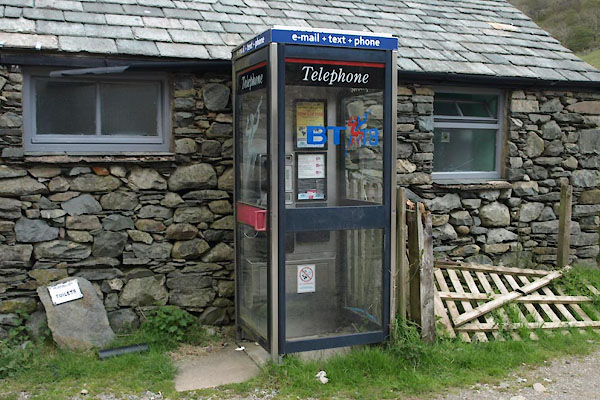
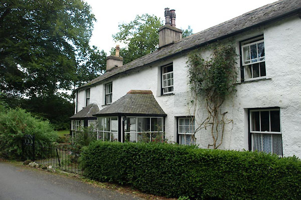
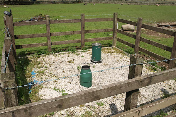
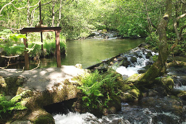
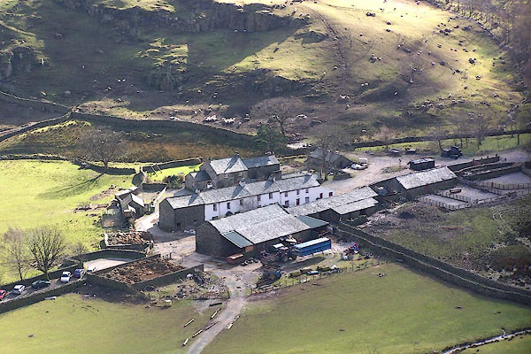 BNG40.jpg (taken 26.2.2007) 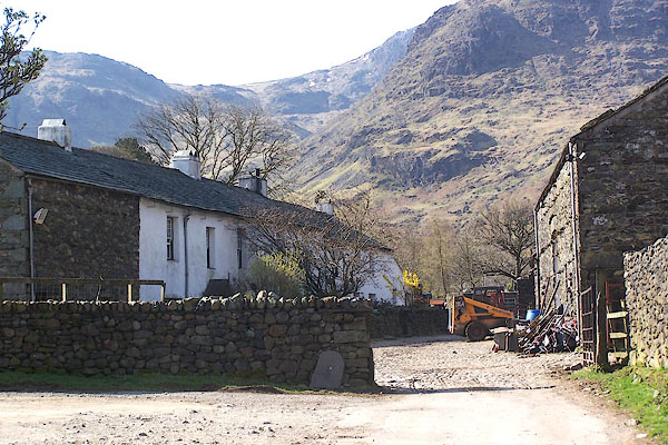 BLY05.jpg (taken 24.4.2006) 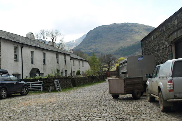 BYH95.jpg (taken 17.5.2013) |
||||
|
|
||||
| evidence:- | old map:- OS County Series (Cmd 75 1) placename:- Seathwaite |
|||
| source data:- | Maps, County Series maps of Great Britain, scales 6 and 25
inches to 1 mile, published by the Ordnance Survey, Southampton,
Hampshire, from about 1863 to 1948. |
|||
|
|
||||
| evidence:- | old text:- Gents Mag placename:- Seathwayte |
|||
| source data:- | Magazine, The Gentleman's Magazine or Monthly Intelligencer or
Historical Chronicle, published by Edward Cave under the
pseudonym Sylvanus Urban, and by other publishers, London,
monthly from 1731 to 1922. goto source goto sourceGentleman's Magazine 1751 p.53 "... got to Seathwayte, were chearfully regaled by an honest farmer in his puris naturalibus, returned to Keswic ..." |
|||
|
|
||||
| evidence:- | old text:- Gents Mag placename:- Seathwayte |
|||
| source data:- | Magazine, The Gentleman's Magazine or Monthly Intelligencer or
Historical Chronicle, published by Edward Cave under the
pseudonym Sylvanus Urban, and by other publishers, London,
monthly from 1731 to 1922. goto source Gentleman's Magazine 1751 p.53 "... got to Seathwayte, were chearfully regaled by an honest farmer in his puris naturalibus, returned to Keswic ..." |
|||
|
|
||||
| evidence:- | old map:- Gents Mag 1751 placename:- Seawhaite |
|||
| source data:- | Map, uncoloured engraving, Map of the Black Lead Mines in
Cumberland, and area, scale about 2 miles to 1 inch, by George
Smith, published in the Gentleman's Magazine, 1751.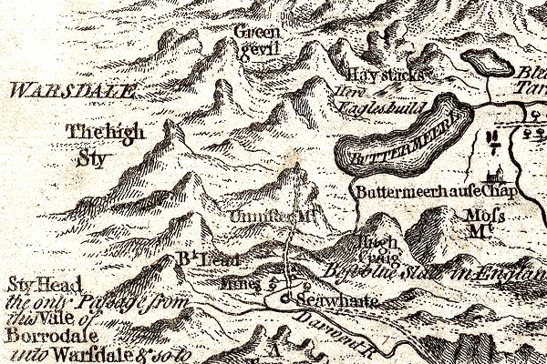 GM1305.jpg "Seawhaite" circle; village item:- JandMN : 114 Image © see bottom of page |
|||
|
|
||||
| evidence:- | old map:- Donald 1774 (Cmd) placename:- Seathwaite |
|||
| source data:- | Map, hand coloured engraving, 3x2 sheets, The County of Cumberland, scale about 1
inch to 1 mile, by Thomas Donald, engraved and published by Joseph Hodskinson, 29
Arundel Street, Strand, London, 1774.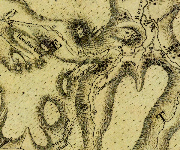 D4NY21SW.jpg "Seathwaite" block or blocks, labelled in lowercase; a hamlet or just a house item:- Carlisle Library : Map 2 Image © Carlisle Library |
|||
|
|
||||
| evidence:- | descriptive text:- West 1778 (11th edn 1821) |
|||
| source data:- | Guide book, A Guide to the Lakes, by Thomas West, published by
William Pennington, Kendal, Cumbria once Westmorland, and in
London, 1778 to 1821. goto source Addendum; Mr Gray's Journal, 1769 Page 205:- "... The dale opens about four miles higher, till you come to Seathwaite, where lies the way, mounting the hill to the right, that leads to the wad-mines; all farther access is here barred to prying mortals, only there is a little path winding over the fells, and for some weeks in the year passable to the dalesmen; but the mountains know well that these innocent people will not reveal the mysteries of their ancient kingdom, 'the reign Chaos and Old Night,' only I learned that this dreadful road, divided again, leads one branch to Ravenglass, and the other to Hawkshead." |
|||
|
|
||||
| evidence:- | old map:- Laurie and Whittle 1806 placename:- Seathwaite |
|||
| source data:- | Road map, Completion of the Roads to the Lakes, scale about 10
miles to 1 inch, by Nathaniel Coltman? 1806, published by Robert
H Laurie, 53 Fleet Street, London, 1834. click to enlarge click to enlargeLw18.jpg "Seathwaite" village or other place item:- private collection : 18.18 Image © see bottom of page |
|||
|
|
||||
| evidence:- | old map:- Otley 1818 placename:- Seathwaite |
|||
| source data:- | Map, uncoloured engraving, The District of the Lakes,
Cumberland, Westmorland, and Lancashire, scale about 4 miles to
1 inch, by Jonathan Otley, 1818, engraved by J and G Menzies,
Edinburgh, Scotland, published by Jonathan Otley, Keswick,
Cumberland, et al, 1833.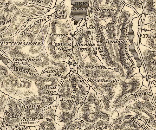 OT02NY21.jpg item:- JandMN : 48.1 Image © see bottom of page |
|||
|
|
||||
| evidence:- | old map:- Hall 1820 (Cmd) placename:- Seathwaite |
|||
| source data:- | Map, hand coloured engraving, Cumberland, scale about 21 miles
to 1 inch, engraved by Sidney Hall, published by S Leigh, 18
Strand, London, 1820-31. click to enlarge click to enlargeHA14.jpg "Seathwaite" circle, italic lowercase text; settlement item:- JandMN : 91 Image © see bottom of page |
|||
|
|
||||
| evidence:- | old map:- Ford 1839 map placename:- Seathwaite |
|||
| source data:- | Map, uncoloured engraving, Map of the Lake District of
Cumberland, Westmoreland and Lancashire, scale about 3.5 miles
to 1 inch, published by Charles Thurnam, Carlisle, and by R
Groombridge, 5 Paternoster Row, London, 3rd edn 1843.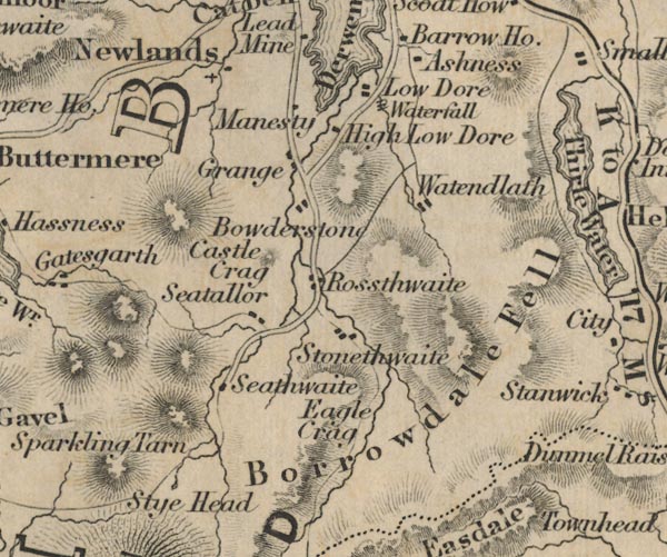 FD02NY21.jpg "Seathwaite" item:- JandMN : 100.1 Image © see bottom of page |
|||
|
|
||||
| evidence:- | probably old drawing:- Aspland 1840s-60s |
|||
| source data:- | Drawing, pencil, Seathwaite, Borrowdale, Cumberland, by Theophilus Lindsey Aspland,
1857.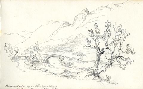 click to enlarge click to enlargeAS0538.jpg "Borrowdale near the Yew Trees / looking towards Keswick." page number "31" item:- Armitt Library : 1958.389.38 Image © see bottom of page |
|||
|
|
||||
| evidence:- | old text:- Miller 1847 placename:- Seathwaite item:- rain |
|||
| source data:- | Book, Report on the Fall of Rain in the Lake Districts of
Cumberland and Westmoreland in 1846, by John Fletcher Miller,
printed by G Irwin, Lowther Street, Whitehaven, Cumberland, 1847. goto source Page 5:- "At Seathwaite, there have been thirty-six days in which the quantity of measured rain was between one and two inches; six days between two and three inches; five days between three and four inches; one day between four and five inches; and one day between five and six inches." "The Rain at Seathwaite on the 3rd and 4th of March, amounted to 6.86 inches; and on the 9th and 10th of Oct., the fall was upwards of 9 inches. On three days of the latter month, there fell 12.17 inches, so that if no part of the rain deposited in this period, had been absorbed by the ground, or carried off by the rivulets, the whole valley would have been covered with a sheet of water, more than a foot in depth." "Of the total fall of Rain at Seathwaite in 1846 (143.518 inches), 103.24 inches fell to the share of January, February, March, July, August and October; the other six months, received much less than an average quantity. In November and December, 1845, there fell 45¾inches; in the corresponding months of 1846, the fall but slightly exceeds 17 inches." "..." "... whilst the Lake district stations generally, have received considerable more rain than in 1845, the deposit in the five wettest localities, is somewhat less than in the previous year." goto sourcePage 8:- 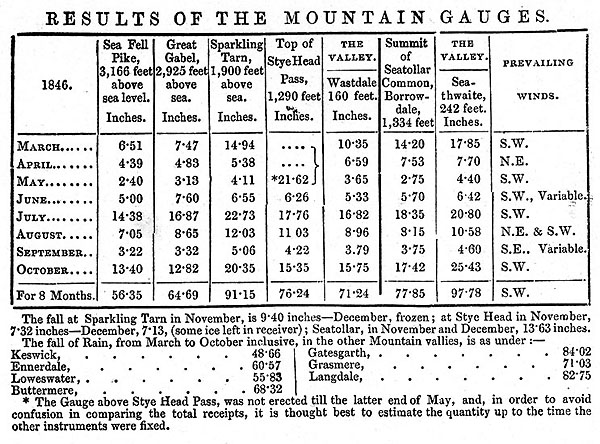 MI02Tab3.jpg goto sourcePage 11:- 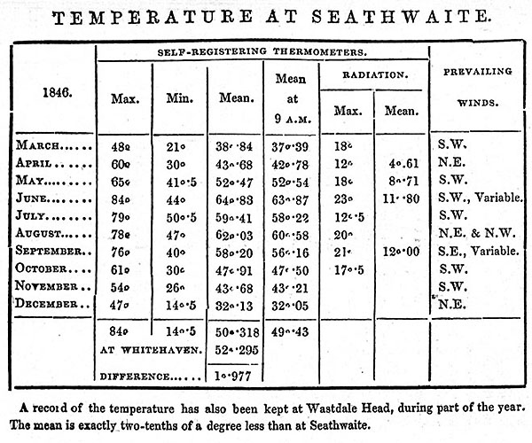 MI02Tab4.jpg |
|||
|
|
||||
| evidence:- | old text:- Martineau 1855 |
|||
| source data:- | Guide book, A Complete Guide to the English Lakes, by Harriet
Martineau, published by John Garnett, Windermere, Westmorland,
and by Whittaker and Co, London, 1855; published 1855-76. goto source Page 116:- "... A party of tourists, among whom were two sisters, were on the heights, intending to cross Esk Hause into Borrowdale, and to spend the night at Seathwaite,- the first settlement there. Now there is, as we have seen, another Seathwaite on the Duddon; and mistakes frequently arise between them. On Esk Hause, one of the ladies lost sight of her party behind some of the rocks scattered among the tarns there, and took a turn to the right instead of the left. A shepherd of whom she inquired her way to Seathwaite, pointed down to the Duddon valley; and that way she went till she found herself at Cockley Beck, ..." |
|||
|
|
||||
| evidence:- | old drawing:- placename:- Seathwaite |
|||
| source data:- | Drawing, Near Seathwaite, Borrowdale, Cumberland, by John Harper, 1840.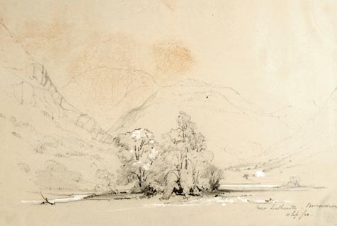 click to enlarge click to enlargePR1382.jpg View near Seathwaite, Borrowdale. U shaped valley with group of trees in the centre and hills beyond. Executed in pencil with touches of white gouache on buff coloured paper. Preparatory sketch drawn on the spot by the artist. at bottom right:- "near Seathwaite. Borrowdale. 11 Sep./40" item:- Tullie House Museum : 2009.89.25 Image © Tullie House Museum |
|||
|
|
||||
| hearsay:- |
The wettest settlement in Great Britain, mean annual rainfall about 140 inches. |
|||
|
|
||||
| places:- |
|
|||
|
||||
|
||||
|
||||
|
||||
|
||||
|
||||
|
||||
|
||||
|
||||
|
||||
|
||||
|
||||
|
||||
|
||||
|
||||
|
||||
|
||||
|
||||
|
||||
|
||||
|
||||
|
||||
|
||||
|
||||
|
||||
|
||||
|
||||
|
||||
|
||||
|
||||
|
||||
|
||||
|
||||
|
||||
|
||||
|
||||
|
||||
|
||||
Lakes Guides menu.