


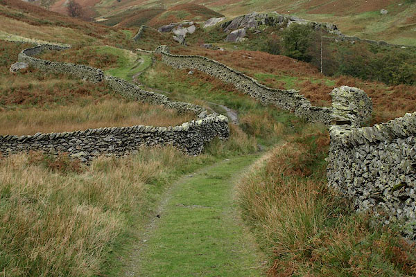
BRR88.jpg Stone walls on the way up the fell,
(taken 7.10.2009)
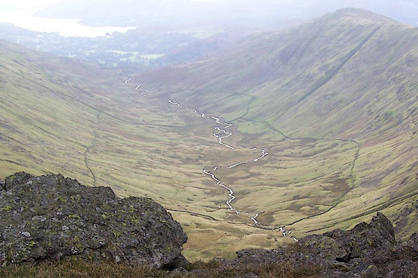
BRS45.jpg The whole valley, Dalehead Close enclosed at the upper end.
(taken 7.10.2009)
placename:- Rydal Fell
OS County Series (Wmd 19 13)
OG96m015.jpg
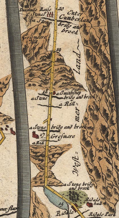
In miles 14 to 17, Westmerland.
Mountains on the right of the road.
item:- JandMN : 22
Image © see bottom of page
 goto source
Frontispiece
 click to enlarge
WS21F.jpg
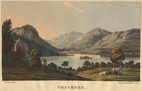
"I. Feary delint. / Engraved by Robt. Havell &Son. / GRASMERE."
The hills appear to be Helm Crag on the left; the road to Keswick going up to Dunmail Raise; then Seat Sandal and the Helvellyn Range which in reality would only be visible from an elevated position; Great Rigg leading up to Fairfield; and part of Rydal fell to the right.
item:- Armitt Library : A1221.2
Image © see bottom of page
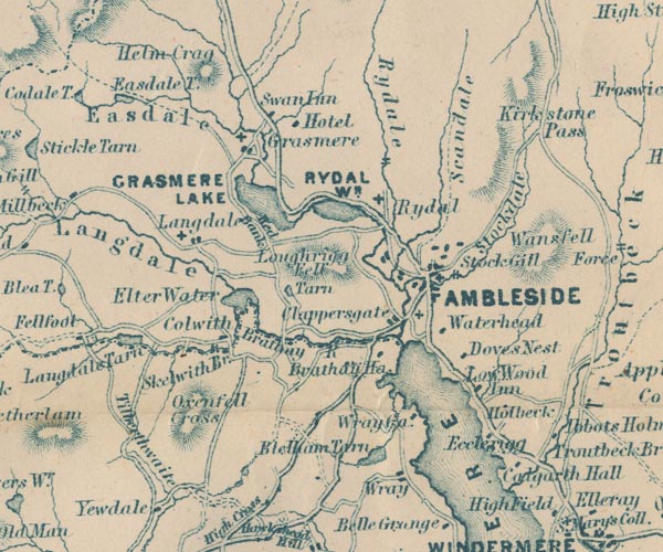
placename:- Rydale
GAR2NY30.jpg
"Rydale"
river valley
item:- JandMN : 82.1
Image © see bottom of page
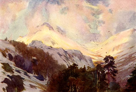
placename:- Rydal Fells
 click to enlarge
MB0110.jpg
Tipped in opposite p.49 in Wild Lakeland by MacKenzie MacBride.
printed at bottom:- "MOUNTAIN GLORY - RYDAL FELLS"
signed at lower right:- "A. HEATON COOPER"
item:- JandMN : 195.12
Image © see bottom of page
 click to enlarge
PR1929.jpg
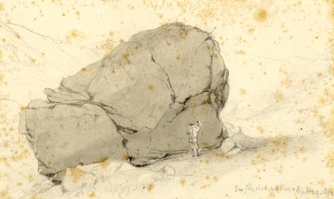
"In Rydal valley Apl 24. 1872"
"Perched Block / Rydal / Wm. Brockbank [FGS ] / 24"
item:- Armitt Library : 1959.68.24
Image © see bottom of page
placename:- Rydal Fell
 click to enlarge
PR1928.jpg
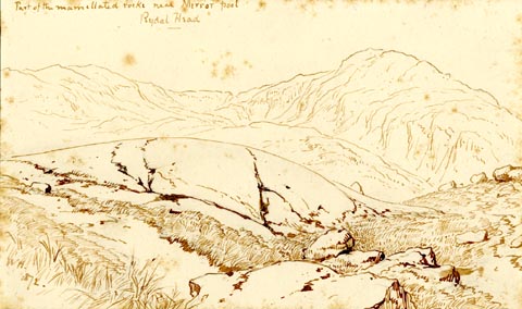
"Part of the mammilated rocks near Mirror pool / Rydal Head"
"WH. / 1872."
"Glaciated Rock: Rydal Head / W Brock[ ] / 23"
"In Rydale, which descends from Fairfield to the Rydal Valley, are some of the finest examples of / Ice worn or mammilated Rocks, to be seen in / the Lake district. They lie in the [mid] valley & / have evidently been ground away by the glacier / which filled the valley & formed its huge [ ] / [ ] There are no good examples of / Moraines in Rydale, the valley was apparently / too steep for them but the perched rocks are / frequent & very fine"
item:- Armitt Library : 1959.68.23
Image © see bottom of page
 click to enlarge
PR1915.jpg
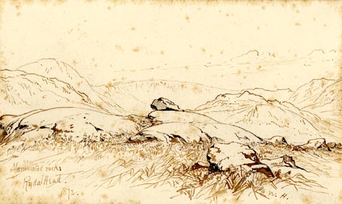
"Mammilated rocks / Rydal Head. / 1872."
"W.H."
"Glaciated Rocks. Rydal Head. Wm. Brockbank F.[G ] / 10"
"Mammilated Rocks / Rydal. Fairfiled in the distance / see [ th ] Sketch"
item:- Armitt Library : 1959.68.10
Image © see bottom of page
placename:- Rydal Fell
 click to enlarge
PR1913.jpg
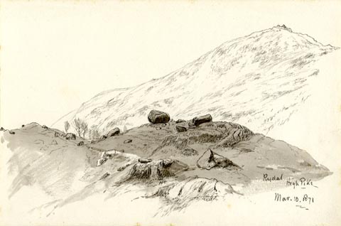
"Rydal / High Pike / Mar. 10. 1871"
"Rydal. Wm. Brocklebank [F.G ] / 8"
"Morraines & Perched Blocks in / Rydale, under High Pike"
item:- Armitt Library : 1959.68.8
Image © see bottom of page
 click to enlarge
PR1372.jpg
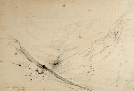
View from above Rydal Falls near Rydal, Grasmere. View from hillside looking up the valley to falls with tarn and hills in the background. Framed by hills on each side. Executed in pencil with touches of white gouache on buff coloured paper. Preparatory sketch drawn on the spot by the artist.
(Looking up Rydal Fell to see a tarn is difficult.)
at bottom left:- "above Rydal Falls 1 Sep./40"
item:- Tullie House Museum : 2009.89.15
Image © Tullie House Museum
