


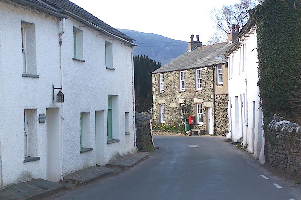
BNM71.jpg (taken 4.4.2007)
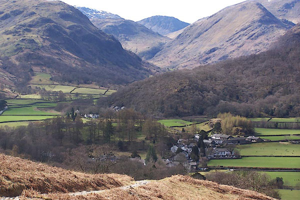
BSM39.jpg (taken 12.4.2010)
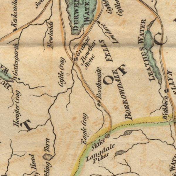
placename:- Rosthwaite
placename:- Borrodale
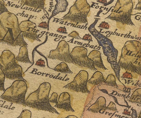
Sax9NY21.jpg
Building, symbol for a hamlet, which may or may not have a nucleus. "Borrodale"
item:- private collection : 2
Image © see bottom of page
placename:- Rosthwaite
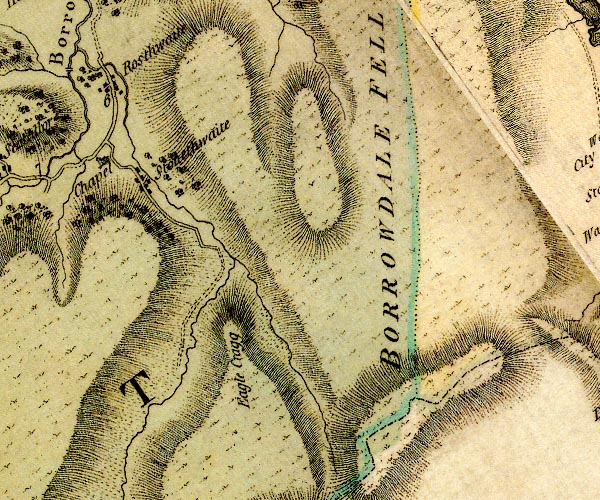
D4NY21SE.jpg
"Rosthwaite"
block or blocks, labelled in lowercase; a hamlet or just a house
item:- Carlisle Library : Map 2
Image © Carlisle Library
item:- hospitality
 goto source
Page 98:- "..."
"The road continues good to Rosthwaite, the first village in this romantic region, ..."
 goto source
Page 99:- "..."
"... About Rosthwaite, in the centre of the dale, fields wave with crops, and meadows are enamelled with flowery grass. This little delightful Eden is marked with every degree of industry by the laborious inhabitants, who partake of the character of the country they live in, for they are hospitable, civil, and communicative,"
 goto source
Page 100:- "and readily and chearfully give assistance to strangers who visit their regions. On missing a tract I was directed to observe, I have been surprised by the dale-lander from the top of a rock, waving me back, and offering me a safe conduct through all the difficult parts, and who blushed at the mention of a reward. Such is the extensive influence of virtue in the minds of those that are least acquainted with society [1]."
"The shepherds only are conversant in the traditional annals of the mountains, and with all the secrets of the mysterious reign of chaos and old night; and they only can give proper information concerning their arcana: for others who live almost within the shadow of these mountains, are often ignorant of their names."
"[1] In parts so sequestered from the world, the vulgar language (as well as manners) may be supposed to continue very little altered from what it has been for many ages, and to be what was once generally used through the country. And in order a little to gratify the curiosity of the reader, in Article X. of the Addenda may be seen a specimen of the common Cumberland dialect."
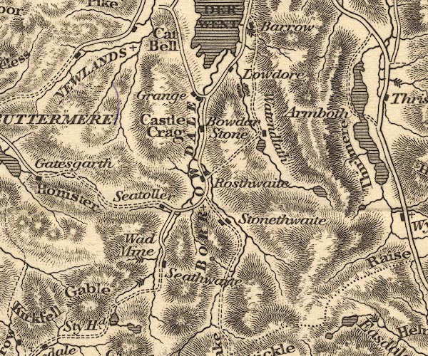
placename:- Rosthwaite
Ws02NY21.jpg
item:- Armitt Library : A1221.1
Image © see bottom of page
placename:- Rosthwaite
OT02NY21.jpg
item:- JandMN : 48.1
Image © see bottom of page
placename:- Rosthwaite
placename:- Rossthwaite
 goto source
Page 67:- "... the village of Rosthwaite is in front at the junction of the vales of Stonethwaite and Seathwaite, while Eagle Crag and Glaramara tower above."
 goto source
Page 168:- "Rossthwaite.- Near this village is the Chapel of Ease, standing at the point whence the three vales or grains of this extensive valley diverge. Whilst here, the tourist should extend his ramble into Stonethwaite, and return. Refreshment may be had here; and then let the visitor cross the river behind the inn, and strike right up the fell, immediately in front. In this ascent the most splendid and magnificent views open out, which bid defiance to the pen."
placename:- Rossthwaite
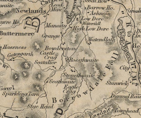
FD02NY21.jpg
"Rossthwaite"
item:- JandMN : 100.1
Image © see bottom of page
placename:- Rosthwaite
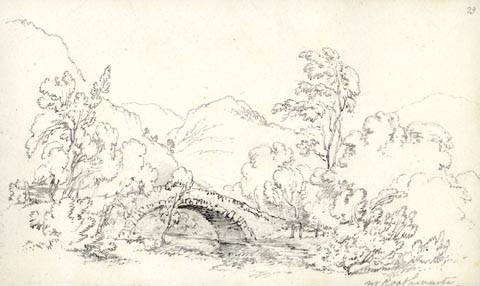 click to enlarge
AS0536.jpg
"nr Rosthwaite."
page number "29"
item:- Armitt Library : 1958.389.36
Image © see bottom of page
placename:- Rosthwaite
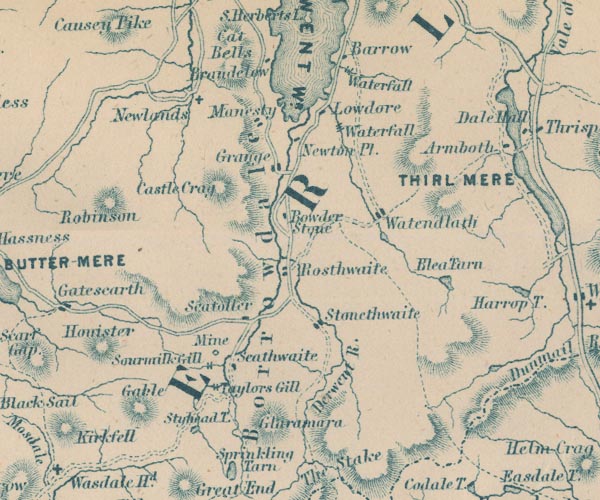
GAR2NY21.jpg
"Rosthwaite"
blocks, settlement
item:- JandMN : 82.1
Image © see bottom of page
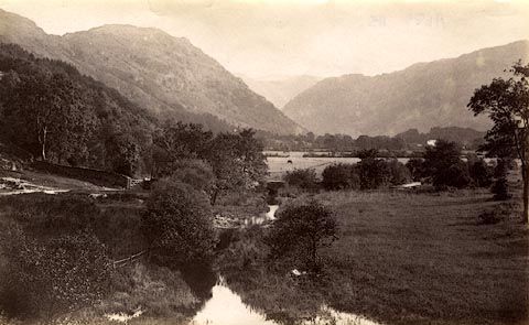 click to enlarge
HB0390.jpg
item:- Armitt Library : ALPS45
Image © see bottom of page
placename:- Rosthwaite
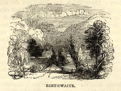 click to enlarge
BEM122.jpg
On p.78 of a Handy Guide to the English Lakes and Shap Spa.
printed at bottom:- "ROSTHWAITE."
item:- JandMN : 455.24
Image © see bottom of page
placename:- Rosthwaite
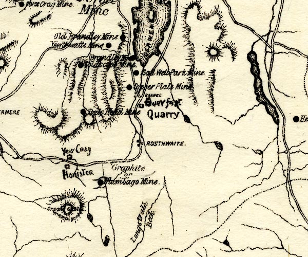
PST2NY21.jpg
"ROSTHWAITE"
dots, road
item:- JandMN : 162.2
Image © see bottom of page
placename:- Rosthwaite
 click to enlarge
PF10Cm.jpg
"Rosthwaite"
map date 1892
placename:- Rosthwaite
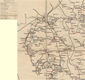 click to enlarge
POF2Cm.jpg
"Rosthwaite"
map date 1890
placename:- Rosthwaite
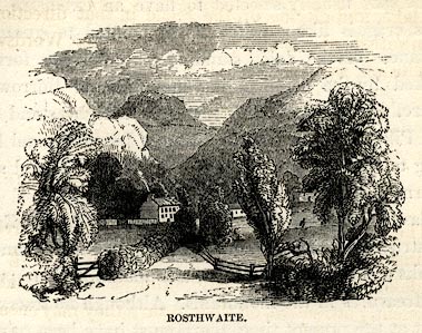 click to enlarge
SYL149.jpg
On p.197 of Sylvan's Pictorial Guide to the English Lakes.
printed at bottom:- "ROSTHWAITE."
item:- Armitt Library : A1201.49
Image © see bottom of page
placename:- Rossthwaite
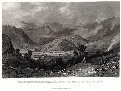 click to enlarge
PR0025.jpg
vol.1 pl.64 in the set of prints, Westmorland, Cumberland, Durham and Northumberland Illustrated.
printed at bottom left, right, centre:- "T. Allom. / R. Sands. / ROSSTHWAITE, BORROWDALE, FROM THE ROAD TO WATENLATH. / FISHER, SON &CO. LONDON, 1833."
item:- Dove Cottage : 2008.107.25
Image © see bottom of page
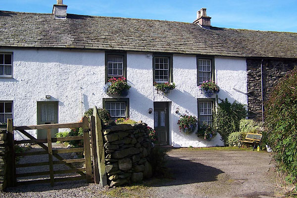
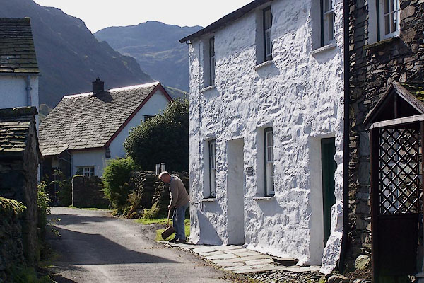
BOF85.jpg The Nook.
(taken 5.10.2007)
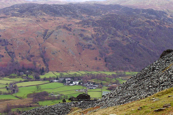
BOF86.jpg Howe Cottages.
(taken 5.10.2007)
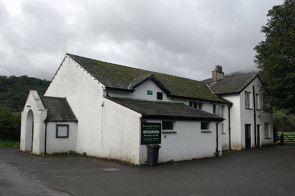
BOK85.jpg From Rigghead.
(taken 19.1.2008)
 |
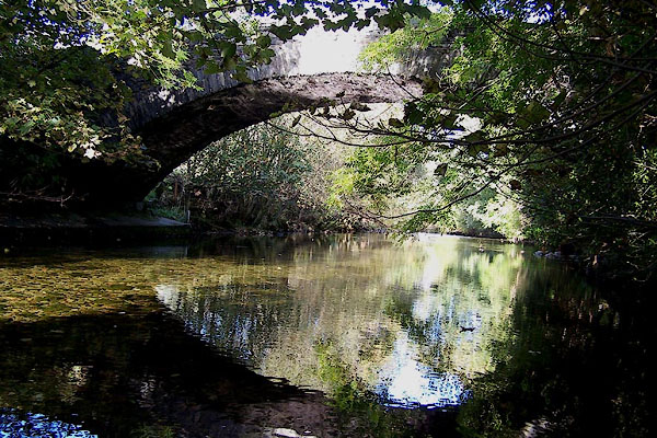
NY25761484 Borrowdale Institute (Borrowdale) |
 |
NY25891496 bridge, Rosthwaite (Borrowdale) |
 |
NY257147 Castle Lodge (Borrowdale) |
 |
NY25551514 Crook, The (Borrowdale) |
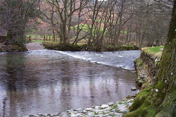 |
NY25341486 ford, Rosthwaite (Borrowdale) |
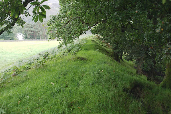 |
NY25591420 geological site, Borrowdale (Borrowdale) |
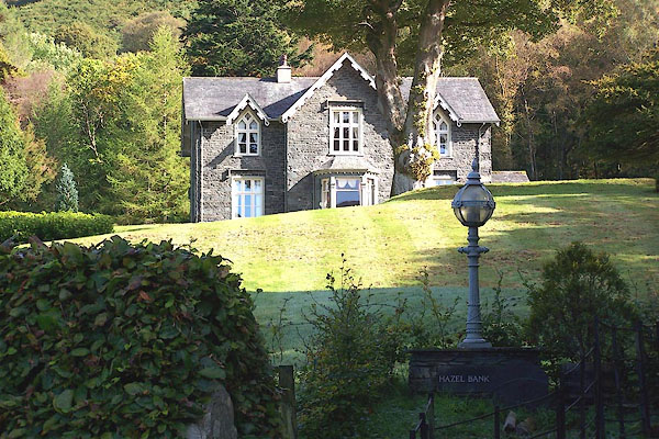 |
NY26001503 Hazel Bank (Borrowdale) |
 |
NY25791469 How, The (Borrowdale) |
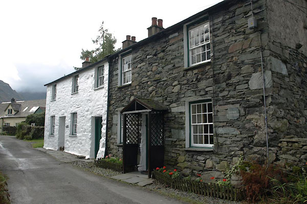 |
NY25691474 Howe Cottages (Borrowdale) L |
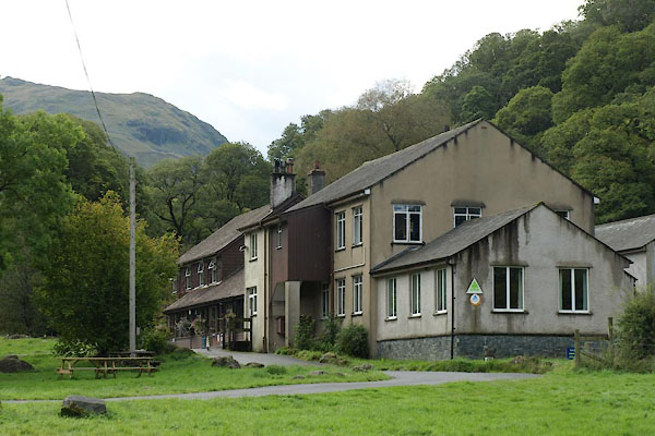 |
NY25491425 Longthwaite Youth Hostel (Borrowdale) |
 |
NY25801456 Middle How (Borrowdale) |
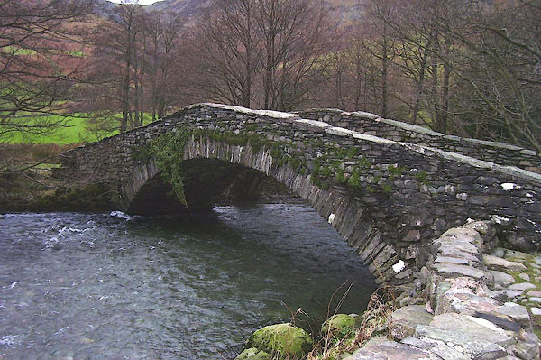 |
NY25191510 New Bridge (Borrowdale) |
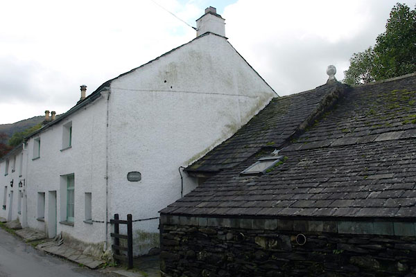 |
NY25861488 Nokka (Borrowdale) |
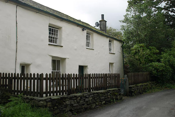 |
NY25731476 Oak Cottage (Borrowdale) L |
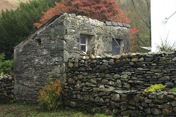 |
NY25771484 privy, Rosthwaite (Borrowdale) |
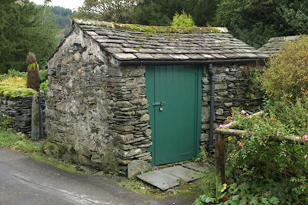 |
NY25701473 privy, Rosthwaite (2) (Borrowdale) |
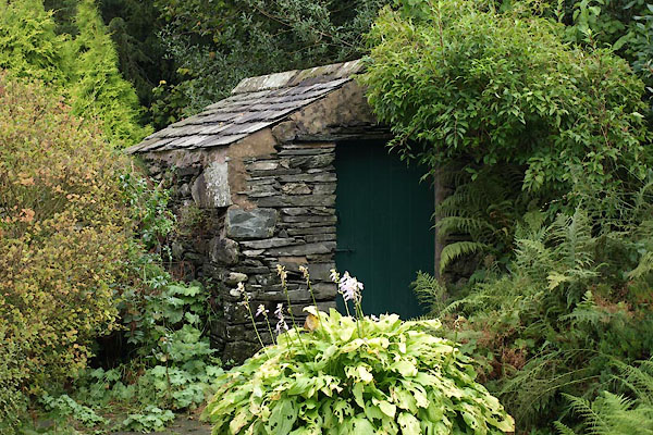 |
NY25711473 privy, Rosthwaite (3) (Borrowdale) |
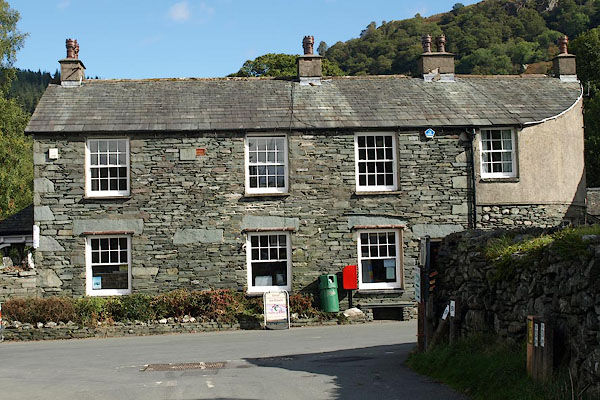 |
NY25841489 Rose Cottage (Borrowdale) |
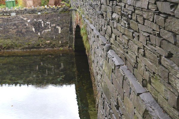 |
NY25691511 Rosthwaite Bridge (Borrowdale) L |
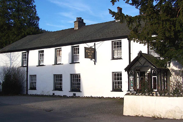 |
NY25861486 Royal Oak (Borrowdale) |
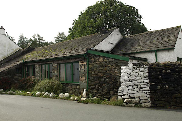 |
NY25841490 Salving House (Borrowdale) |
 |
NY259148 stepping stones, Rosthwaite (Borrowdale) |
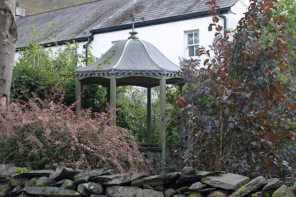 |
NY25781484 summer house, Rosthwaite (Borrowdale) |
 |
NY25861458 Tram Dub (Borrowdale) |
 |
NY25671512 Yew Craggs (Borrowdale) |
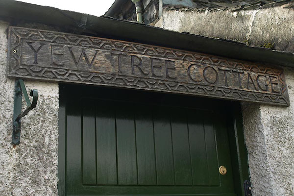 |
NY25731480 Yew Tree Cottage (Borrowdale) |
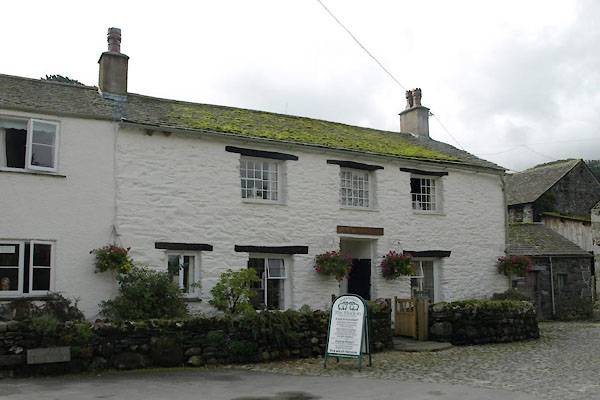 |
NY25701478 Yew Tree Farm (Borrowdale) L |
 |
NY25881483 Scafell Hotel (Borrowdale) |
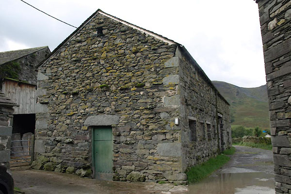 |
NY25691479 barn, Rosthwaite (Borrowdale) |
