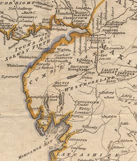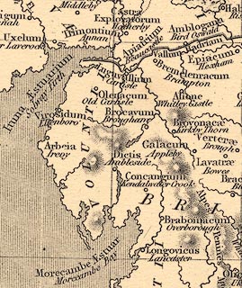


"ROMAN STATION"
placename:- Apiatorium
item:- inscription, roman; roman inscription
 goto source
Pennant's Tour 1773, page 181 "Beucastle had been a Roman station, and garrisoned by part of the Legio Secunda Augusta; the other part of which lay at Netherby; and both intended to cover the workmen employed in building the famous Wall. Many vestiges still are to be seen. An extensive ditch and rampart surround the church and castle, and between the church and public-house are remains of several buildings. Some inscriptions have been met with on the spot, one addressed to Hadrian the founder of the Wall; and many coins have been dug up at this place. Mr. Horsely conjectures, from an inscription which he supposes to have been brought from hence, that its ancient name is Apiatorium."
placename:- Apiatorium
 click to enlarge
PEN1Cm.jpg
"APIATORIUM / Beaucastle"
circle; buildings, village, etc
item:- private collection : 66
Image © see bottom of page
placename:- Apiatorum
item:- roman inscription; inscription, roman
 goto source
Page 200:- "..."
"Here [Bew Castle] was probably the Roman station APIATORIUM mentioned in an inscription found in Northumberland and now in the library at Durham, Pl.VII. fig.8. the Maiden way leading to it. The inscription which Mr. Camden saw in the church seems to be at Naworth. There is another serving also as a head-stone to a grave, at the bottom of which it was found. See Pl.XI. fig.10."
"... CAES TA...
.........
... G II AVG ET XXV...
... II CNC IR...
... V... PR PR"
"Perhaps,"
"Imp. Caes. Trajan.
Hadriano Aug.
Leg. II. Aug. et XX V. V.
Sub Licinio Prisco
Leg. Aug. Pr. Pr."
"or the last two lines,"
"Ob. Vic. No. Pr. Lic.
ML. Aug. PR. PR."
"erected by the Legio 2da Aug. in honour of Adrian, whose wall while building they might cover. Mr. Horsley was told of another, which had the word Templum distinct, but was broken and lost. Both the church and castle are surrounded by a dike and foss."
placename:- Fanum Cocidi
placename:- Fanocodi
placename:- Fanococidi
placename:- Apiatrum
placename:- Beaucastle
 click to enlarge
HOR1Cm.jpg
"Apiatrum / Beaucastle"
item:- JandMN : 429
Image © see bottom of page
