 |
 |
   |
included in:-
|
 road, Windermere to Coniston partly road, Windermere to Coniston partly
|
|
|
|
Windermere to Newby Bridge |
|
Newby Bridge to Windermere |
|
A592 |
| civil parish:- |
Windermere (formerly Westmorland) |
| civil parish:- |
Cartmel Fell (formerly Lancashire) |
| civil parish:- |
Staveley-in-Cartmel (formerly Lancashire) |
| county:- |
Cumbria |
| locality type:- |
road route |
| 10Km square:- |
SD49 |
| 10Km square:- |
SD39 |
| 10Km square:- |
SD38 |
|
|
| evidence:- |
old text:- Clarke 1787
|
| source data:- |
Guide book, A Survey of the Lakes of Cumberland, Westmorland,
and Lancashire, written and published by James Clarke, Penrith,
Cumberland, and in London etc, 1787; published 1787-93.
 goto source goto source
Page 152:- "..."
"... a road to Ambleside by way of Bowness along the southern margin of the Lake; this
is a pleasant road in point of rural beauty, but affords nothing for either the historian
or antiquarian. The soil is barren, and produces little or nothing but wood, which
is remarkablY quick of growth whilst young; ..."
|
|
|
| evidence:- |
old map:- Clarke 1787 map (Windermere N)
|
| source data:- |
Map, A Map of the Northern Part of the Lake Winandermere and its
Environs, scale about 6.5 ins to 1 mile, by James Clarke,
engraved by Samuel John Neele, 352 Strand, published by James
Clarke, Penrith, Cumberland and in London etc, 1787.
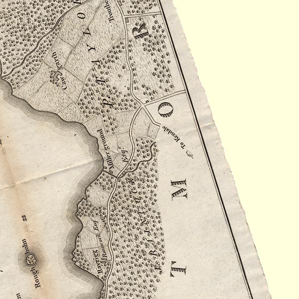
CLASD49E.jpg
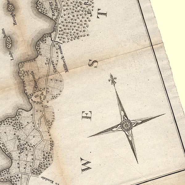
CLASD49D.jpg
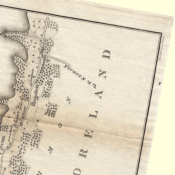
CLBSD49C.jpg
item:- private collection : 10.10
Image © see bottom of page
|
|
|
| evidence:- |
old map:- Clarke 1787 map (Windermere S)
|
| source data:- |
Map, A Map of the Southern Part of the Lake Winandermere and its
Environs, scale about 6.5 ins to 1 mile, by James Clarke,
engraved by Samuel John Neele, 352 Strand, published by James
Clarke, Penrith, Cumberland and in London etc, 1787.
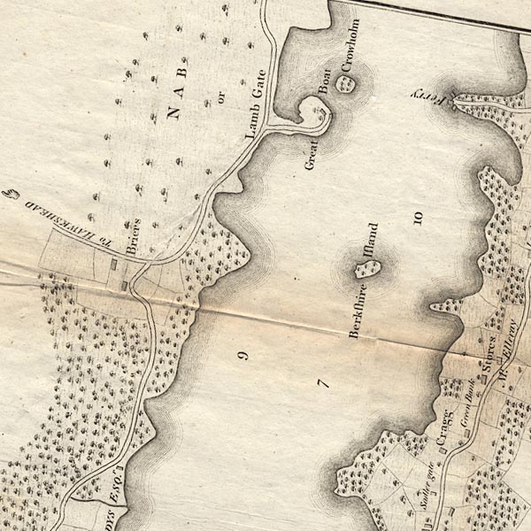
CLBSD39X.jpg
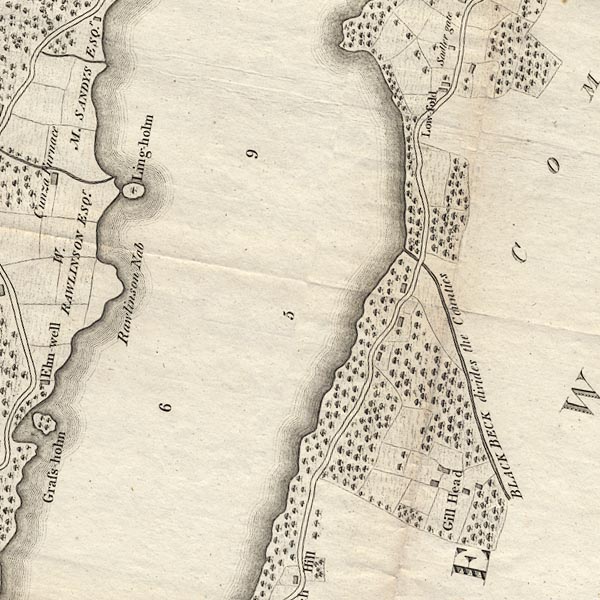
CLBSD39W.jpg
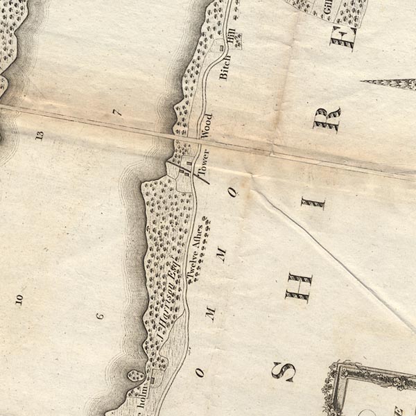
CLBSD39V.jpg
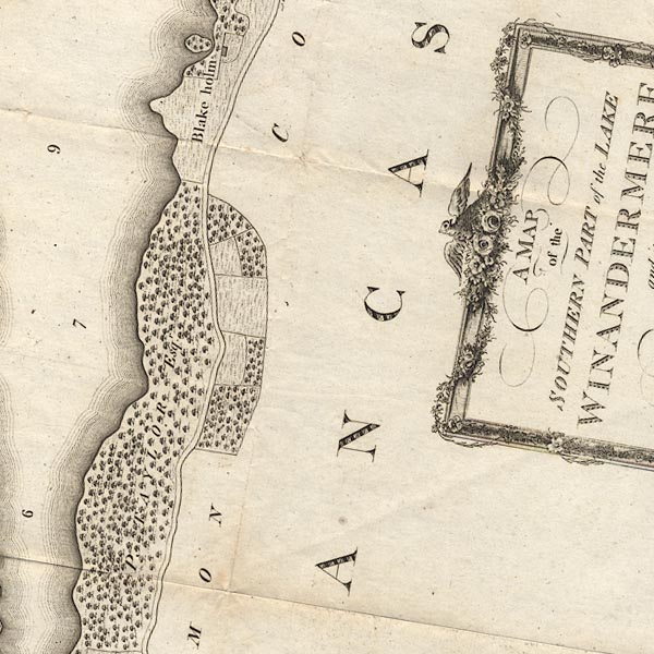
CLBSD38Z.jpg
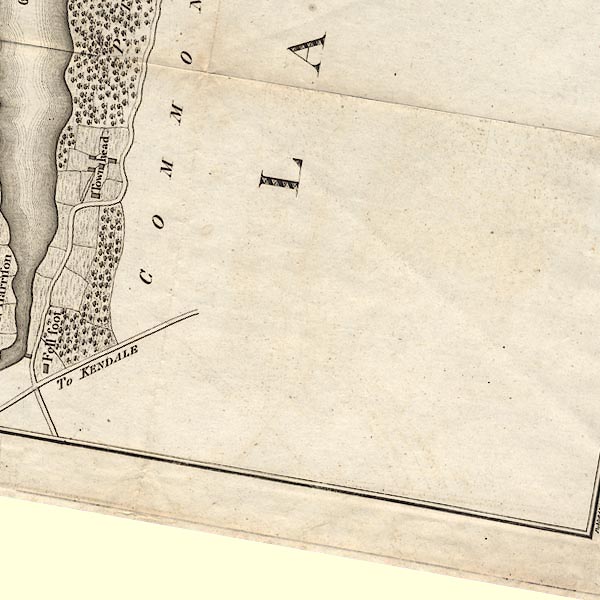
CLBSD38Y.jpg
item:- private collection : 10.11
Image © see bottom of page
|
|
|
| evidence:- |
old text:- Martineau 1855
item:- bobbin; charcoal
|
| source data:- |
Guide book, A Complete Guide to the English Lakes, by Harriet
Martineau, published by John Garnett, Windermere, Westmorland,
and by Whittaker and Co, London, 1855; published 1855-76.
 goto source goto source
Page 21:- "..."
"He will go down to Newby Bridge either by steamer, or by the road; which passes the
grounds of Storrs, and cuts over hill and dale, and winds among the copses, till it
crosses the bridge opposite the inn. Those copses have been valuable to the remotest
known date, for charcoal, and they have become more so since the increase of manufactures
has stimulated the demand for bobbins."
|
|
|
| evidence:- |
old map:- Prior 1874 map 1
|
| source data:- |
Map, uncoloured engraving or lithograph? Winander Mere, scale
about 2.5 miles to 1 inch, published by John Garnett,
Windermere, Westmorland, 1874.
 click to enlarge click to enlarge
PI03M1.jpg
double line; road
item:- private collection : 133.1
Image © see bottom of page
|
|
|
| evidence:- |
gradient diagram:- Gall and Inglis 1890s-1900s (Roads)
|
| source data:- |
Contour Road Book of England, Northern Division, by Harry R G Inglis, published by
Gall and Inglis, 25 Paternoster Square, London and Edinburgh, 1898.
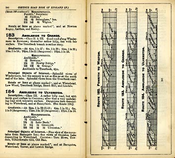 click to enlarge click to enlarge
IG5183.jpg
Itinerary, with gradient diagram, route 183, Ambleside to Grange, and route184, Ambleside
to Ulverston, Westmorland and Lancashire, 1898.
item:- JandMN : 763.17
Image © see bottom of page
|
|
|
| evidence:- |
old strip map:- CTC 1911 (Roads)
|
| source data:- |
Page 93 of Cyclists' Touring Club British Road Book new series vol.6, edited by F
B Sandford, published by Thomas Nelson and Sons, London etc, 1911.
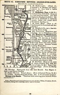 click to enlarge click to enlarge
CTC293.jpg
Strip road map, route 42, Kirkstone Bowness Grange-over-Sands, part of Haydon Bridge
to Grange-over-Sands, scale roughly 5 miles to 1 inch.
Together with an itinerary and gradient diagram.
item:- JandMN : 491.93
Image © see bottom of page
|
|
|
| evidence:- |
old strip map:- Rumney 1899
|
| source data:- |
Road map, strip map, gradient diagram, and itinerary for Route II, Levens Bridge to
Ambleside via Lindale, Westmorland and Lancashire, scale about 2 miles to 1 inch,
by A W Rumney, published by George Philip and Son, 32 Fleet Street, London, and Liverpool,
1899.
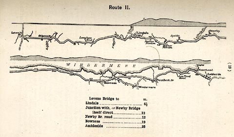 click to enlarge click to enlarge
RUM104.jpg
On p.19 of the Cyclist's Guide to the English Lake District, by A W Rumney.
printed at top:- "Route II."
item:- JandMN : 147.5
Image © see bottom of page
|
|
|
| places:- |
 Windermere Windermere
 Bowness-on-Windermere Bowness-on-Windermere
[Windermere Ferry, Windermere]
 Newby Bridge Newby Bridge |
|
|
|


 road, Windermere to Coniston partly
 goto source


 goto source
 click to enlarge
 click to enlarge
 click to enlarge
 click to enlarge
 Windermere
 Bowness-on-Windermere
 Newby Bridge