 |
 |
   |
|
|
|
Pooley Bridge |
| site name:- |
Eamont, River |
| locality:- |
Pooley Bridge |
| civil parish:- |
Barton (formerly Westmorland) |
| civil parish:- |
Dacre (formerly Cumberland) |
| county:- |
Cumbria |
| locality type:- |
bridge |
| locality type:- |
flood |
| locality type:- |
boundary feature |
| locality type:- |
county boundary feature |
| coordinates:- |
NY47002442 |
| 1Km square:- |
NY4724 |
| 10Km square:- |
NY42 |
|
|
|
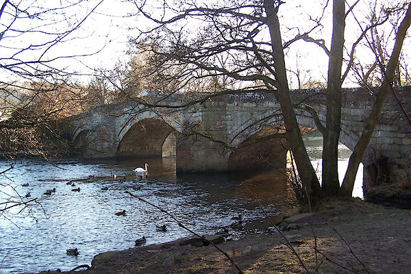
BLN41.jpg (taken 4.1.2006)
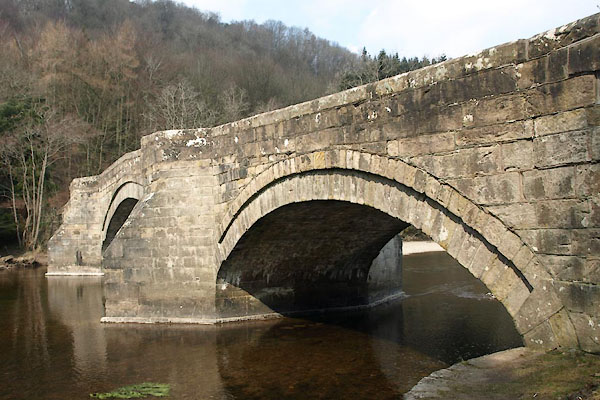
BYB98.jpg (taken 10.4.2013)
|
|
|
| evidence:- |
old map:- OS County Series (Wmd 7 6)
placename:- Pooley Bridge
|
| source data:- |
Maps, County Series maps of Great Britain, scales 6 and 25
inches to 1 mile, published by the Ordnance Survey, Southampton,
Hampshire, from about 1863 to 1948.
OS County Series (Cmd 66 2)
|
|
|
| evidence:- |
old map:- Jefferys 1770 (Wmd)
|
| source data:- |
Map, 4 sheets, The County of Westmoreland, scale 1 inch to 1
mile, surveyed 1768, and engraved and published by Thomas
Jefferys, London, 1770.
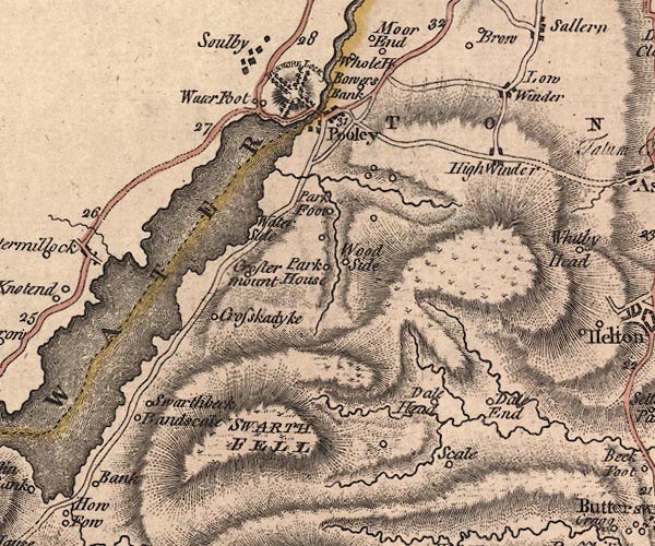
J5NY42SE.jpg
double line, road, across a stream; bridge
item:- National Library of Scotland : EME.s.47
Image © National Library of Scotland |
|
|
| evidence:- |
old map:- Donald 1774 (Cmd)
placename:- Pooly Bridge
|
| source data:- |
Map, hand coloured engraving, 3x2 sheets, The County of Cumberland, scale about 1
inch to 1 mile, by Thomas Donald, engraved and published by Joseph Hodskinson, 29
Arundel Street, Strand, London, 1774.
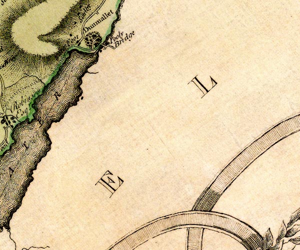
D4NY42SE.jpg
"Pooly Bridge"
double line across a river; a bridge at Pooley Bridge
item:- Carlisle Library : Map 2
Image © Carlisle Library |
|
|
| evidence:- |
presumably descriptive text:- West 1778 (11th edn 1821)
placename:- Barton Bridge
|
| source data:- |
Guide book, A Guide to the Lakes, by Thomas West, published by
William Pennington, Kendal, Cumbria once Westmorland, and in
London, 1778 to 1821.
 goto source goto source
Addendum; Mr Gray's Journal, 1769
Page 201:- "... I descended Dunmallet again by the side avenue, ... and came to Barton-bridge
over the Eamont; then walked through a path in the wood round the bottom of the hill,
came forth where the Eamont issues out of the lake, ..."
|
|
|
| evidence:- |
old map:- Crosthwaite 1783-94 (Ull)
|
| source data:- |
Map, uncoloured engraving, Accurate Map of the Beautiful Lake of
Ullswater, scale about 3 inches to 1 mile, by Peter Crosthwaite,
Keswick, Cumberland, 1783, version published 1800.
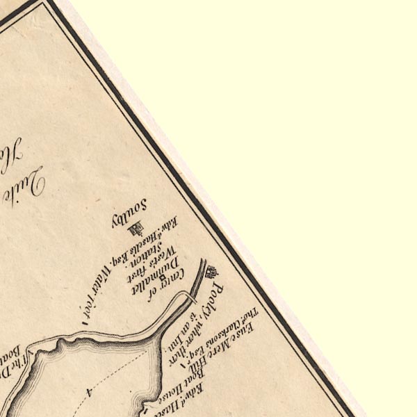
CT5NY42S.jpg
Clearly marked over the Eamont.
item:- Armitt Library : 1959.191.7
Image © see bottom of page
|
|
|
| evidence:- |
old map:- West 1784 map
placename:- Pooley Bridge
|
| source data:- |
Map, hand coloured engraving, A Map of the Lakes in Cumberland,
Westmorland and Lancashire, scale about 3.5 miles to 1 inch,
engraved by Paas, 53 Holborn, London, about 1784.
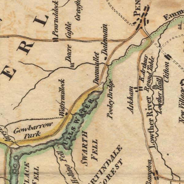
Ws02NY42.jpg
item:- Armitt Library : A1221.1
Image © see bottom of page
|
|
|
| evidence:- |
old map:- Clarke 1787 map (Ullswater)
|
| source data:- |
Map, A Map of the Lake Ullswater and its Environs, scale about
6.5 ins to 1 mile, by James Clarke, engraved by S J Neele, 352
Strand, published by James Clarke, Penrith, Cumberland and in
London etc, 1787.
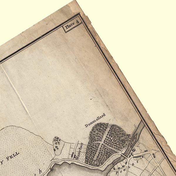
CL4NY42S.jpg
Drawn by a bridge symbol.
item:- private collection : 10.4
Image © see bottom of page
|
|
|
| evidence:- |
old map:- Cary 1789 (edn 1805)
|
| source data:- |
Map, uncoloured engraving, Westmoreland, scale about 2.5 miles
to 1 inch, by John Cary, London, 1789; edition 1805.
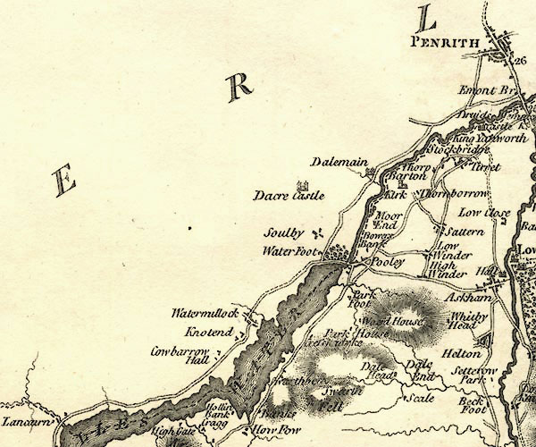
CY24NY42.jpg
road across a stream; bridge
item:- JandMN : 129
Image © see bottom of page
|
|
|
| evidence:- |
old map:- Otley 1818
placename:- Pooley Bridge
|
| source data:- |
Map, uncoloured engraving, The District of the Lakes,
Cumberland, Westmorland, and Lancashire, scale about 4 miles to
1 inch, by Jonathan Otley, 1818, engraved by J and G Menzies,
Edinburgh, Scotland, published by Jonathan Otley, Keswick,
Cumberland, et al, 1833.
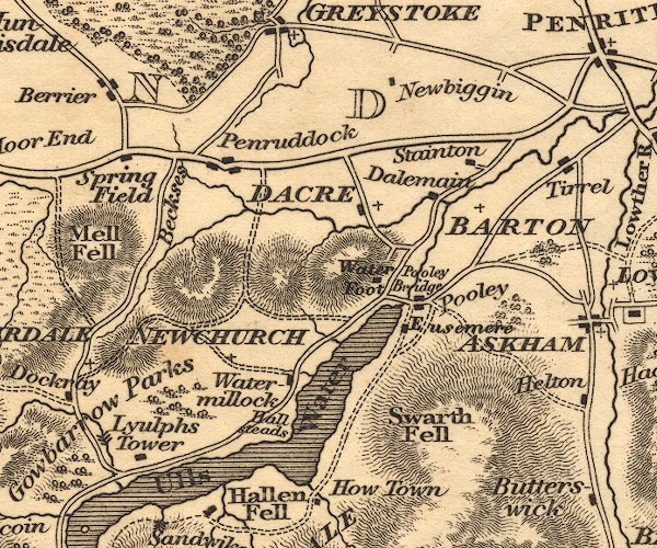
OT02NY42.jpg
the bridge
item:- JandMN : 48.1
Image © see bottom of page
|
|
|
| evidence:- |
old map:- Bell 1892
placename:- Pooley Bridge
|
| source data:- |
Map, colour lithograph, Road Map of Cumberland, by George Joseph
Bell, scale about 2.5 miles to 1 inch, printed by Charles
Thurnam and Sons, Carlisle, Cumberland, 1892.
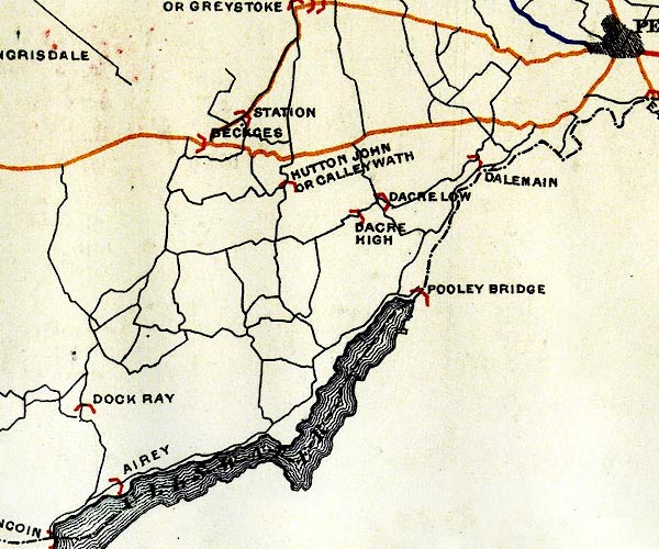
BEL9NY42.jpg
"POOLEY BRIDGE"
bridge symbol; on county boundary
Road map of Cumberland showing County Bridges
item:- Carlisle Library : Map 38
Image © Carlisle Library |
|
|
| evidence:- |
database:- Listed Buildings 2010
placename:- Pooley Bridge
|
| source data:- |
courtesy of English Heritage
"POOLEY BRIDGE / / / DACRE / EDEN / CUMBRIA / II / 73790 / NY4698724432"
|
| source data:- |
courtesy of English Heritage
"Roadbridge. Inscribed on parapet stone JS &IR 1764. Squared blocks of dressed red
and calciferous sandstone. 3 segmental arches with recessed voussoirs on piers with
splayed cutwaters, carried up to form pedestrian refuges. Solid parapet with chamfered
coping. This bridge lies partly in Barton C.P."
|
|
|
| evidence:- |
database:- Listed Buildings 2010
|
| source data:- |
courtesy of English Heritage
"POOLEY BRIDGE (THAT PART IN BARTON CP) / / B5320 / BARTON / EDEN / CUMBRIA / II /
74501 / NY4699424427"
|
| source data:- |
courtesy of English Heritage
"Roadbridge. Inscribed on parapet stone JS &IR 1764. Squared blocks of dressed red
and calciferous sandstone. 3 segmental arches with recessed voussoirs on piers with
splayed cutwaters, carried up to form pedestrian refuges. Solid parapet with chamfered
coping. This bridge lies partly in Dacre C.P."
|
|
|
|
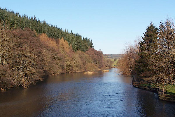
BLN40.jpg View of river.
Looking downstream from Pooley Bridge.
(taken 4.1.2006)
|
|
|
|
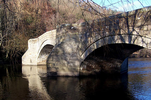
BLN42.jpg (taken 4.1.2006)
|
|
|
MN photo:-
|
The old bridge was destroyed in floods, December 2015. The bailey bridge is temporary,
we trust.
|
|
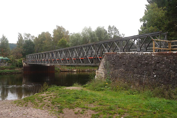
CFO80.jpg (taken 7.10.2016)
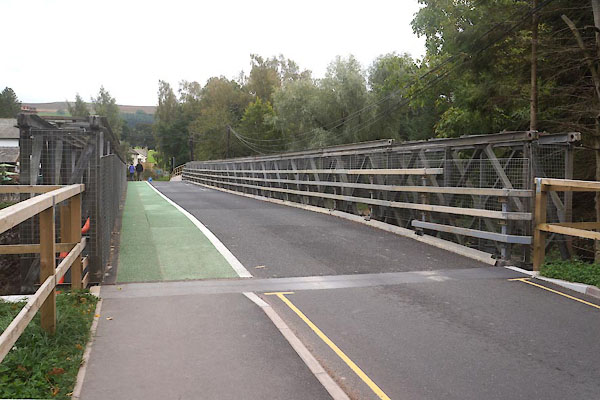
CFO81.jpg (taken 7.10.2016)
|
|
|
hearsay:-
|
There was a fish weir before the bridge was built. Salmon and other fish were sold
in a market in the village.
|
|
Built in the 16th century; rebuilt 18th century? Destroyed in floods, December 2015.
|
|
|


 goto source


