 Old Cumbria Gazetteer
 |
 |
|
| Old Hall, Nicholforest | ||
| Old Hall | ||
| Rutherford | ||
| civil parish:- | Nicholforest (formerly Cumberland) | |
| county:- | Cumbria | |
| locality type:- | buildings | |
| coordinates:- | NY45137905 | |
| 1Km square:- | NY4579 | |
| 10Km square:- | NY47 | |
|
|
||
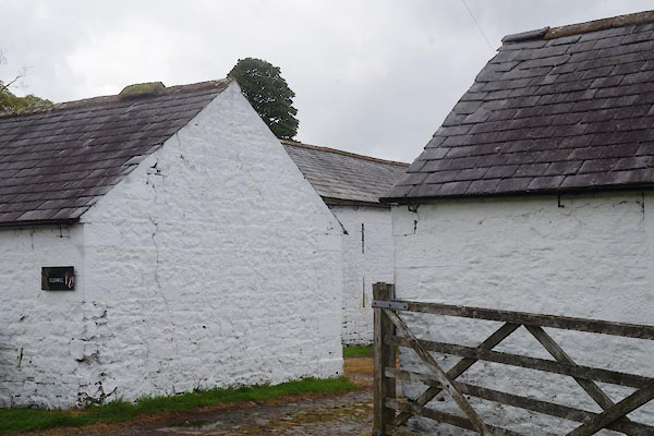
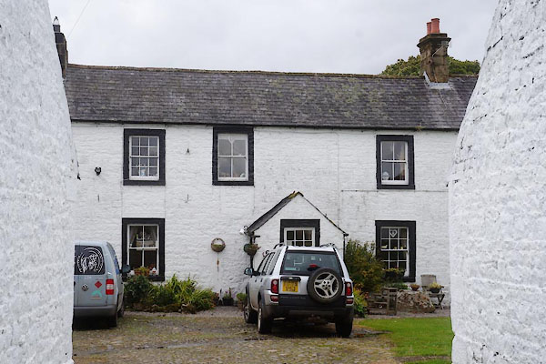 CBN56.jpg (taken 29.8.2014) 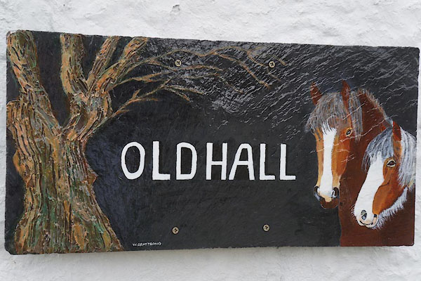 CBN59.jpg Sign, painted by W Armstrong. (taken 29.8.2014) |
||
|
|
||
| evidence:- | old map:- OS County Series (Cmd 3 9) placename:- Old Hall placename:- Hall, Old |
|
| source data:- | Maps, County Series maps of Great Britain, scales 6 and 25
inches to 1 mile, published by the Ordnance Survey, Southampton,
Hampshire, from about 1863 to 1948. |
|
|
|
||
| evidence:- | old map:- Donald 1774 (Cmd) placename:- Old Hall placename:- Hall, Old |
|
| source data:- | Map, hand coloured engraving, 3x2 sheets, The County of Cumberland, scale about 1
inch to 1 mile, by Thomas Donald, engraved and published by Joseph Hodskinson, 29
Arundel Street, Strand, London, 1774.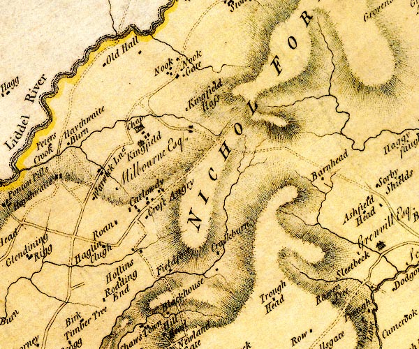 D4NY47NE.jpg "Old Hall" block or blocks, labelled in lowercase; a hamlet or just a house item:- Carlisle Library : Map 2 Image © Carlisle Library |
|
|
|
||
| evidence:- | old map:- Ford 1839 map placename:- Old Hall |
|
| source data:- | Map, uncoloured engraving, Map of the Lake District of
Cumberland, Westmoreland and Lancashire, scale about 3.5 miles
to 1 inch, published by Charles Thurnam, Carlisle, and by R
Groombridge, 5 Paternoster Row, London, 3rd edn 1843.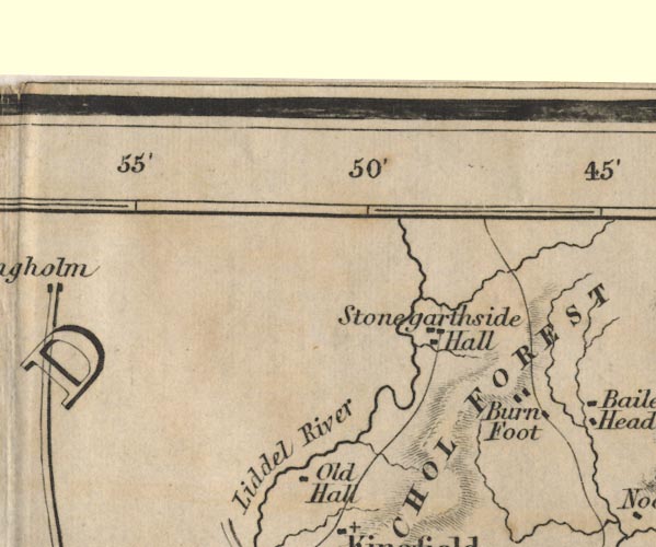 FD02NY48.jpg "Old Hall" item:- JandMN : 100.1 Image © see bottom of page |
|
|
|
||
| evidence:- | database:- Listed Buildings 2010 placename:- Old Hall Farm |
|
| source data:- | courtesy of English Heritage "OLD HALL FARMHOUSE / / / NICHOLFOREST / CARLISLE / CUMBRIA / II / 78162 / NY4511979057" |
|
|
|
||
| evidence:- | database:- Listed Buildings 2010 |
|
| source data:- | courtesy of English Heritage "BARN TO SOUTH EAST OF OLD HALL FARMHOUSE / / / NICHOLFOREST / CARLISLE / CUMBRIA / II / 78163 / NY4512779032" |
|
|
|
||
 CBN57.jpg (taken 29.8.2014) 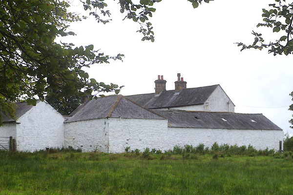 CBN58.jpg (taken 29.8.2014) |
||
|
|
||
| notes:- |
site of a tower or early stone house |
|
| Perriam, D R &Robinson, J: 1998: Medieval Fortified Buildings of Cumbria: CWAAS::
ISBN 1 873124 23 6 |
||
|
|
||
 Lakes Guides menu.