 |
 |
|
|
|
|
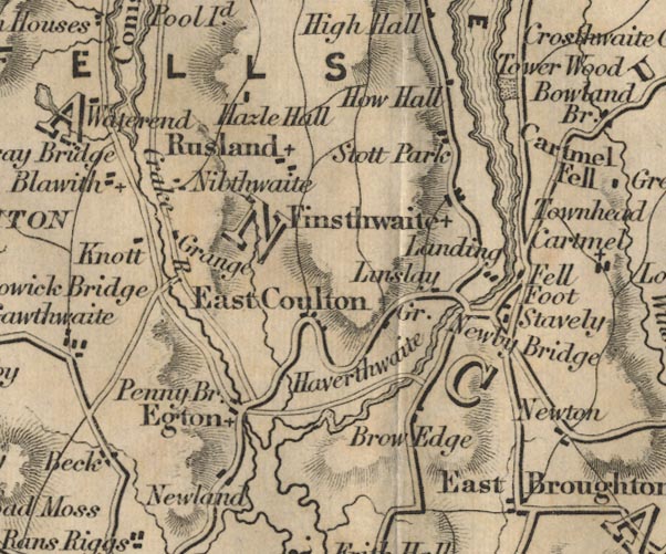
Newland |
| civil parish:- |
Egton with Newland (formerly Lancashire) |
| civil parish:- |
Ulverston (formerly Lancashire) |
| county:- |
Cumbria |
| locality type:- |
locality |
| locality type:- |
buildings |
| coordinates:- |
SD30027966 (etc) |
| 1Km square:- |
SD3079 |
| 10Km square:- |
SD37 |
|
|
| evidence:- |
old map:- OS County Series (Lan 11 16)
placename:- Newland
|
| source data:- |
Maps, County Series maps of Great Britain, scales 6 and 25
inches to 1 mile, published by the Ordnance Survey, Southampton,
Hampshire, from about 1863 to 1948.
|
|
|
| evidence:- |
old map:- Ford 1839 map
placename:- Newland
|
| source data:- |
Map, uncoloured engraving, Map of the Lake District of
Cumberland, Westmoreland and Lancashire, scale about 3.5 miles
to 1 inch, published by Charles Thurnam, Carlisle, and by R
Groombridge, 5 Paternoster Row, London, 3rd edn 1843.
FD02SD38.jpg
"Newland"
item:- JandMN : 100.1
Image © see bottom of page
|
|
|
| places:- |
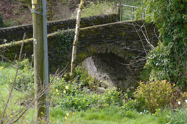 |
SD29628013 bridge, Newland (Egton with Newland / Ulverston) L |
|
|
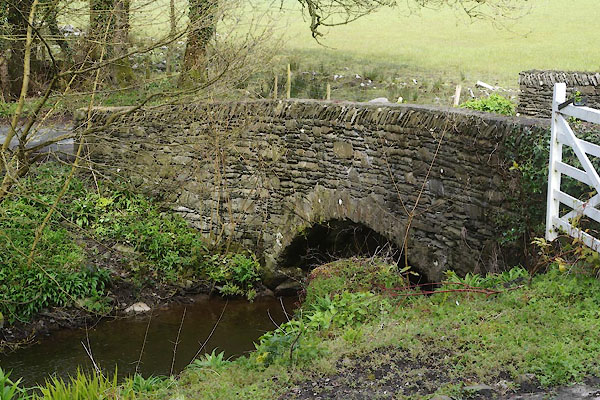 |
SD29288070 bridge, Newland (2) (Egton with Newland) |
|
|
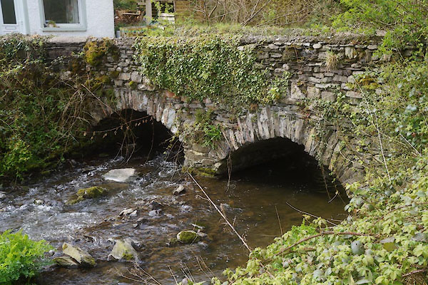 |
SD29927977 bridge, Newland (3) (Egton with Newland) L |
|
|
 |
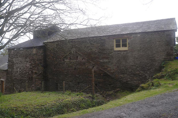
SD29887981 mill, Newland (Egton with Newland) |
|
|
|
SD30017965 mill, Newland (2) (Egton with Newland) |
|
|
|
SD30197941 Newland Farm (Egton with Newland) |
|
|
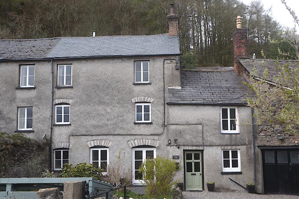 |
SD30007968 Newland House, Newland (Egton with Newland) L |
|
|
 |
SD29967972 Newland Ironworks (Egton with Newland / Ulverston) L |
|
|
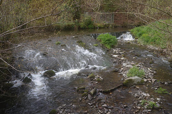 |
SD29907977 weir, Newland (Egton with Newland) |
|
