Old Cumbria Gazetteer
 |
 |
|
||
| Mosser, Blindbothel | ||||
| Mosser | ||||
| civil parish:- | Blindbothel (formerly Cumberland) | |||
| county:- | Cumbria | |||
| locality type:- | locality | |||
| locality type:- | buildings | |||
| coordinates:- | NY11622496 (etc) | |||
| 1Km square:- | NY1124 | |||
| 10Km square:- | NY12 | |||
|
|
||||
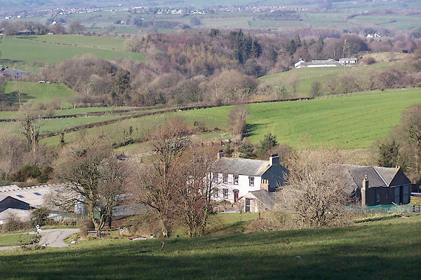
 CBD31.jpg (taken 17.7.2014) |
||||
|
|
||||
| evidence:- | old map:- Donald 1774 (Cmd) placename:- High Mosser placename:- Mosser, High |
|||
| source data:- | Map, hand coloured engraving, 3x2 sheets, The County of Cumberland, scale about 1
inch to 1 mile, by Thomas Donald, engraved and published by Joseph Hodskinson, 29
Arundel Street, Strand, London, 1774.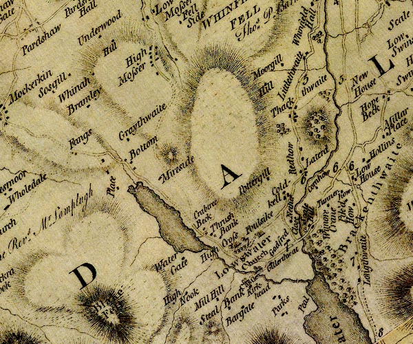 D4NY12SW.jpg "High Mosser" block or blocks, labelled in lowercase; a hamlet or just a house item:- Carlisle Library : Map 2 Image © Carlisle Library |
|||
|
|
||||
| evidence:- | old map:- Otley 1818 placename:- Mosser |
|||
| source data:- | Map, uncoloured engraving, The District of the Lakes,
Cumberland, Westmorland, and Lancashire, scale about 4 miles to
1 inch, by Jonathan Otley, 1818, engraved by J and G Menzies,
Edinburgh, Scotland, published by Jonathan Otley, Keswick,
Cumberland, et al, 1833.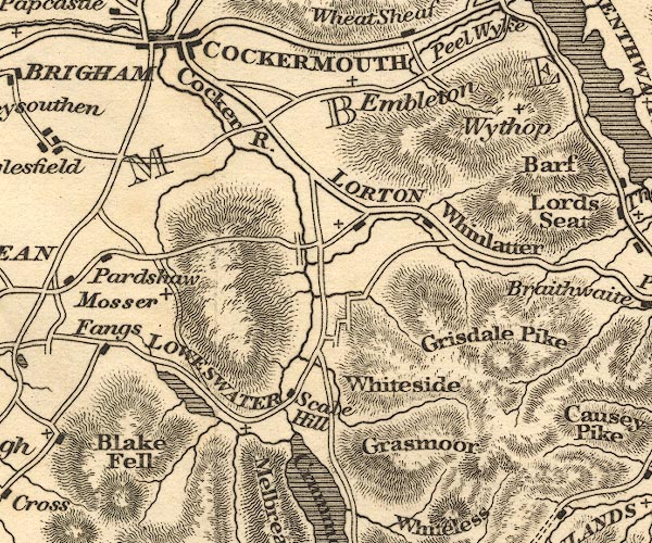 OT02NY12.jpg item:- JandMN : 48.1 Image © see bottom of page |
|||
|
|
||||
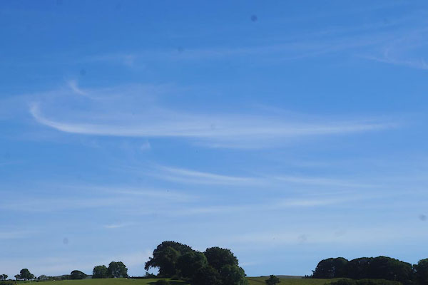 CBD26.jpg Cirrus clouds. (taken 17.7.2014)  CBD30.jpg Cirrus clouds. (taken 17.7.2014) |
||||
|
|
||||
| places:- |
|
|||
|
||||
|
||||
|
||||
|
||||
|
||||
|
||||
|
||||
|
||||
|
||||
|
||||
 Lakes Guides menu.