 Old Cumbria Gazetteer
 |
 |
|
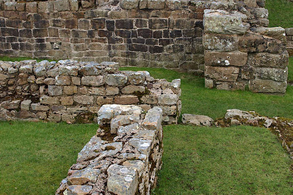
| Milecastle 48, Upper Denton | ||
| Milecastle 48 | ||
| Poltross Burn Mile Castle | ||
| site name:- | Hadrian's Wall | |
| locality:- | Gilsland | |
| civil parish:- | Upper Denton (formerly Cumberland) | |
| county:- | Cumbria | |
| locality type:- | roman milecastle | |
| coordinates:- | NY63396622 | |
| 1Km square:- | NY6366 | |
| 10Km square:- | NY66 | |
|
|
||
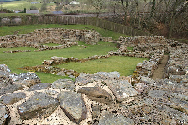 BOV46.jpg (taken 21.3.2008) 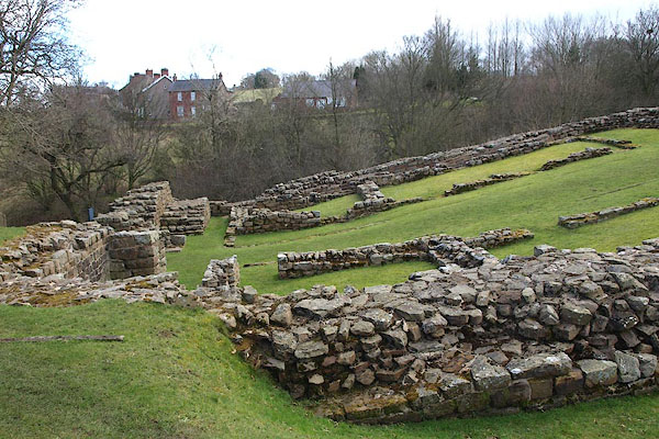 BOV47.jpg (taken 21.3.2008) |
||
|
|
||
| evidence:- | old text:- Camden 1789 (Gough Additions) |
|
| source data:- | Book, Britannia, or A Chorographical Description of the Flourishing Kingdoms of England,
Scotland, and Ireland, by William Camden, 1586, translated from the 1607 Latin edition
by Richard Gough, published London, 1789. goto source goto sourcePage 226, Mr Horsley:- "..." ""... Just on the west side of Poltross water a castellum is visible; and about two furlongs west from this castellum the walls are within a chain of each other, and continue so almost all the way till they cross Irthing water near Burdoswold. On the west side of the rivulet called Poltross, and near Mumps hall, Severus's ditch appears large and distinct, being detached about eight yards from the wall. I measured it about 30 foot wide at the top and 15 at the bottom, and its depth about ten." |
|
|
|
||
 BOV48.jpg (taken 21.3.2008) 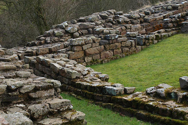 BOV49.jpg (taken 21.3.2008) |
||
|
|
||
Lakes Guides menu.