 |
 |
   |
|
|
|
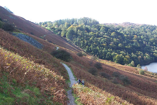
Loughrigg Terrace |
|
Laughrigg Terrace |
| locality:- |
Loughrigg |
| civil parish:- |
Lakes (formerly Westmorland) |
| county:- |
Cumbria |
| locality type:- |
hill |
| coordinates:- |
NY34570583 (etc) |
| 1Km square:- |
NY3405 |
| 10Km square:- |
NY30 |
|
|
|

BPS36.jpg (taken 6.10.2008)
|
|
|
| evidence:- |
old map:- OS County Series (Wmd 26 5)
placename:- Loughrigg Terrace
|
| source data:- |
Maps, County Series maps of Great Britain, scales 6 and 25
inches to 1 mile, published by the Ordnance Survey, Southampton,
Hampshire, from about 1863 to 1948.
|
|
|
| evidence:- |
old text:- Martineau 1855
|
| source data:- |
Guide book, A Complete Guide to the English Lakes, by Harriet
Martineau, published by John Garnett, Windermere, Westmorland,
and by Whittaker and Co, London, 1855; published 1855-76.
 goto source goto source
Page 50:- "... The lane he has just passed [on Red Bank] to the right leads him to the grassy
bridle-road called Loughrigg Terrace, whence the best views are obtained of both Grasmere
and Rydal lakes, and which leads along the uplands and then by Rydal Lake back to
the valley of the Rothay. ..."
|
|
|
| evidence:- |
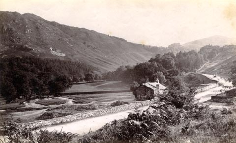
old photograph:- Bell 1880s-1940s
|
| source data:- |
Photograph, black and white, Loughrigg Terrace from White Moss, Westmorland, by Herbert
Bell, photographer, Ambleside, Westmorland, 1890s.
 click to enlarge click to enlarge
HB0688.jpg
internegative at lower right:- "H. Bell"
item:- Armitt Library : ALPS352
Image © see bottom of page
|
|
|
| evidence:- |
old print:-
placename:- Loughrigg Terrace
|
| source data:- |
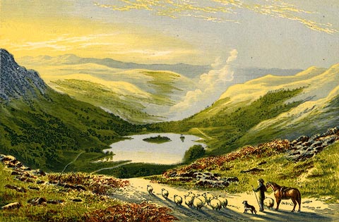
Print, coloured wood engraving? Rydal Water, from Loughrigg Terrace, Westmorland,
published or sold by John Walker and Co, 85 Farringdon Street, London, 1880s-90s?
 click to enlarge click to enlarge
PR0532.jpg
A small flock of sheep being driven in the foreground.
printed at bottom:- "RYDAL WATER, FROM LOUGHRIGG TERRACE."
stamped at bottom left:- "JOHN WALKER &CO. / LONDON. / 85 FARRINGDON ST."
item:- Dove Cottage : 2008.107.481
Image © see bottom of page
|
|
|


 goto source
 click to enlarge
 click to enlarge