Old Cumbria Gazetteer
 |
 |
|
||
| Liza Beck | ||||
| runs into:- |  Cocker, River Cocker, River |
|||
|
|
||||
| Lesagh | ||||
| civil parish:- | Buttermere (formerly Cumberland) | |||
| county:- | Cumbria | |||
| locality type:- | river | |||
| 1Km square:- | NY1621 (etc) | |||
| 10Km square:- | NY12 | |||
|
|
||||
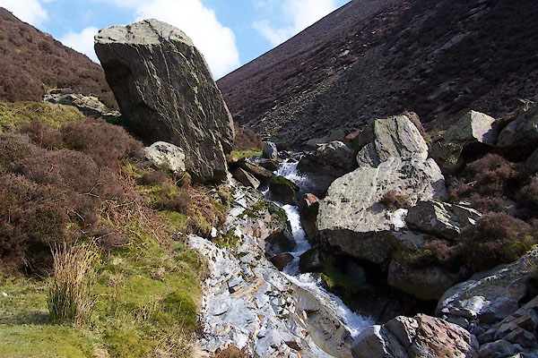 BUH32.jpg Waterfall, (taken 28.3.2011) 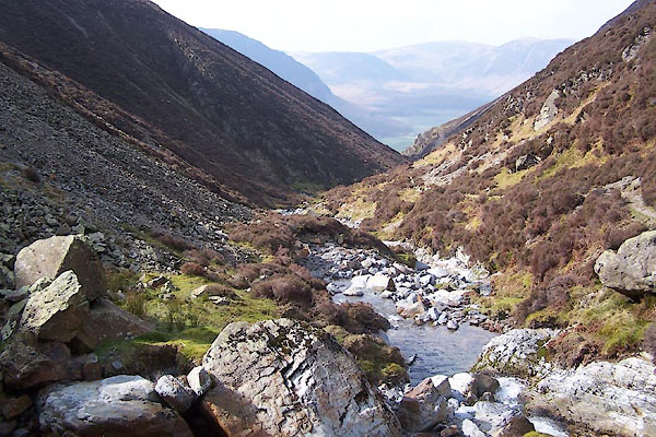 BUH31.jpg (taken 28.3.2011) |
||||
|
|
||||
| evidence:- | old map:- OS County Series (Cmd 63 10) placename:- Liza Beck |
|||
| source data:- | Maps, County Series maps of Great Britain, scales 6 and 25
inches to 1 mile, published by the Ordnance Survey, Southampton,
Hampshire, from about 1863 to 1948. |
|||
|
|
||||
| evidence:- | old map:- Gents Mag 1751 placename:- Liza River |
|||
| source data:- | Map, uncoloured engraving, Map of the Black Lead Mines in
Cumberland, and area, scale about 2 miles to 1 inch, by George
Smith, published in the Gentleman's Magazine, 1751.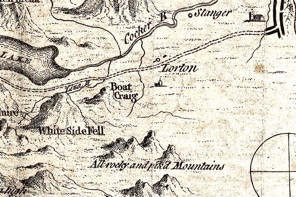 GM1307.jpg "Liza [R]" tapering wiggly line; river item:- JandMN : 114 Image © see bottom of page |
|||
|
|
||||
| evidence:- | old map:- Donald 1774 (Cmd) |
|||
| source data:- | Map, hand coloured engraving, 3x2 sheets, The County of Cumberland, scale about 1
inch to 1 mile, by Thomas Donald, engraved and published by Joseph Hodskinson, 29
Arundel Street, Strand, London, 1774.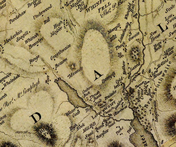 D4NY12SW.jpg single or double wiggly line; a river item:- Carlisle Library : Map 2 Image © Carlisle Library |
|||
|
|
||||
| evidence:- | descriptive text:- Otley 1823 (5th edn 1834) placename:- Lisa |
|||
| source data:- | Guide book, A Concise Description of the English Lakes, the
mountains in their vicinity, and the roads by which they may be
visited, with remarks on the mineralogy and geology of the
district, by Jonathan Otley, published by the author, Keswick,
Cumberland now Cumbria, by J Richardson, London, and by Arthur
Foster, Kirkby Lonsdale, Cumbria, 1823; published 1823-49,
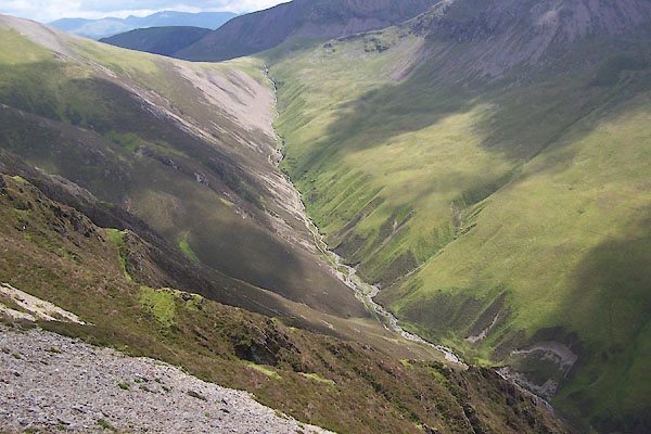
latterly as the Descriptive Guide to the English Lakes. goto source Page 26:- "... Pedestrians, anxious to explore the inmost recesses of the mountains, may follow the lake [Ennerdale Water] to its head, and after passing the sequestered farm of Gillerthwaite, continue their route four of five miles along the narrow dale, by the transparent stream of the Lisa, which is fed by the crystal springs issuing from the side of the mountains; ..." goto sourcePage 41:- "The water flowing from the north side of Gable has a long meandering stream down Ennerdale; it is called the Lisa till it enters the lake; afterwards it is the Ehen till it falls into the sea half way between Ravenglass and St. Bees. ..." |
|||
|
|
||||
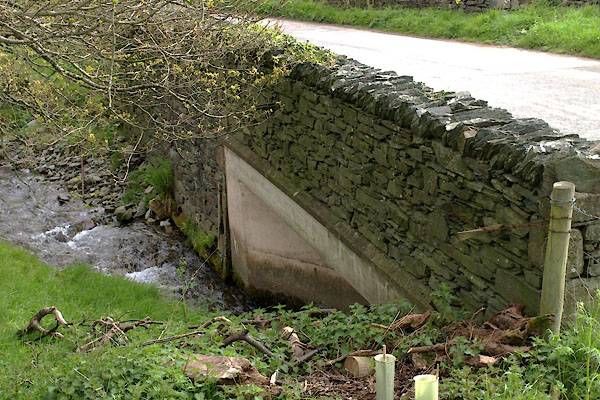
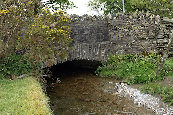
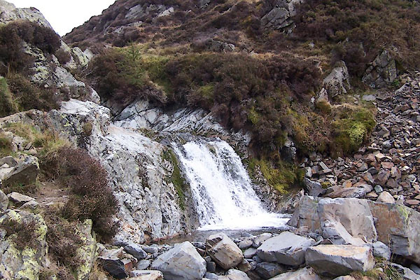 BUH29.jpg Waterfall, (taken 28.3.2011) 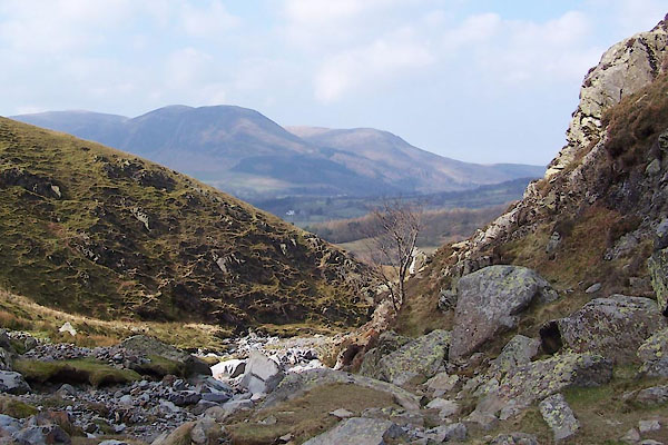 BUH30.jpg (taken 28.3.2011) 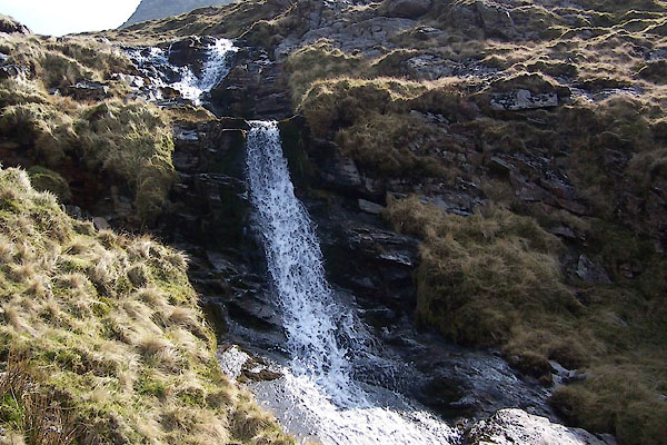 BUH36.jpg Waterfall, (taken 28.3.2011) 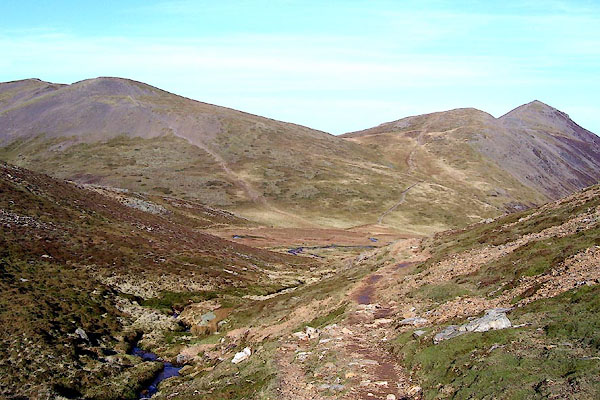 BOR79.jpg Above Coledale Hause. (taken 13.2.2008) 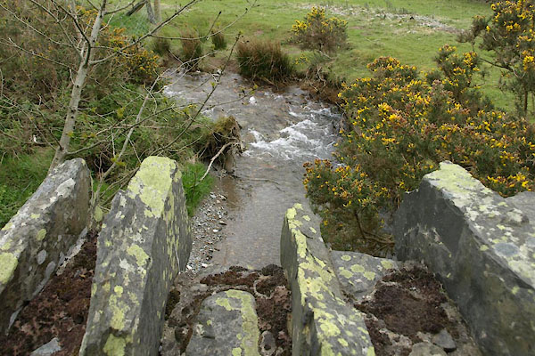 BWK86.jpg At Low Liza Bridge, (taken 16.5.2012) 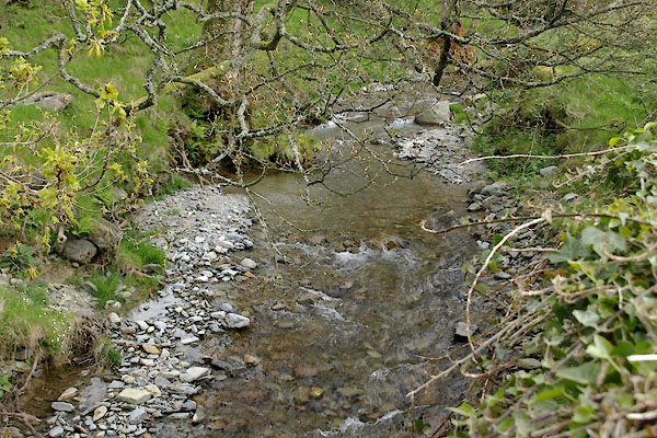 BWK89.jpg At High Liza Bridge, (taken 16.5.2012) |
||||
|
|
||||
| places:- |
|
|||
|
||||
|
||||
|
||||
Lakes Guides menu.