 Old Cumbria Gazetteer
 |
 |
|
| Gasgale Gill, Buttermere | ||
| Gasgale Gill | ||
| Gaskell Gill | ||
| Gaitscale Gill | ||
| site name:- | Liza Beck | |
| civil parish:- | Buttermere (formerly Cumberland) | |
| county:- | Cumbria | |
| locality type:- | valley | |
| coordinates:- | NY17452152 (etc) | |
| 1Km square:- | NY1721 | |
| 10Km square:- | NY12 | |
|
|
||
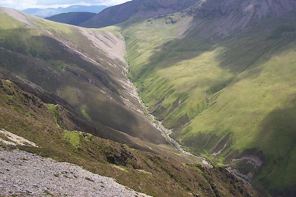 BXC47.jpg (taken 8.8.2012) 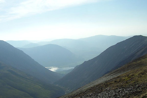 BNK93.jpg (taken 24.3.2007) |
||
|
|
||
| evidence:- | old map:- OS County Series (Cmd 63 10) placename:- Gasgale Gill |
|
| source data:- | Maps, County Series maps of Great Britain, scales 6 and 25
inches to 1 mile, published by the Ordnance Survey, Southampton,
Hampshire, from about 1863 to 1948. |
|
|
|
||
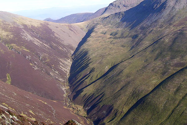 BNK94.jpg Coledale Hause and Gasgale Gill. (taken 24.3.2007) |
||
|
|
||
| hearsay:- |
Traces of the spate caused by a cloudburst in 1760 are said to be apparent at the
bottom of the gill. The cloudburst was described by Gilpin in his Observations. |
|
|
|
||
 Lakes Guides menu.