


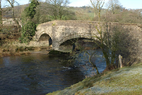
BVU51.jpg (taken 13.1.2012)
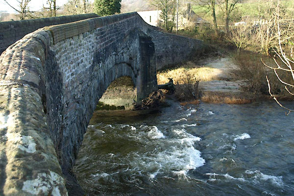
BVU52.jpg (taken 13.1.2012)
placename:- Lincoln's Inn Bridge
placename:- Lincolns Inn Bridge
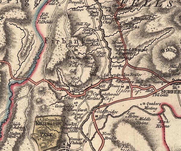
J5SD69SW.jpg
"Lincolns Inn Bridge"
double line, road, across a stream; bridge
item:- National Library of Scotland : EME.s.47
Image © National Library of Scotland
placename:- Lincolns Inn Bridge
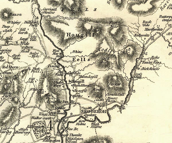
CY24SD69.jpg
"Lincolns Inn Br"
road across a stream; bridge and buildings
item:- JandMN : 129
Image © see bottom of page
placename:- Lincoln's Inn Bridge
 goto source
 click to enlarge
C38315.jpg
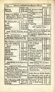
page 315-316 "Lincoln's Inn Bridge / 1½Miles beyond Lincoln's Inn Bridge, on r. a T.R. to Kirkby Lonsdale."
item:- JandMN : 228.1
Image © see bottom of page
placename:- Lincolns Inn Bridge
 click to enlarge
GRA1Wd.jpg
"Lincolns Inn Bri."
bridge
item:- Hampshire Museums : FA2000.62.4
Image © see bottom of page
placename:- Lincoln's Inn Bridge
 click to enlarge
Lw21.jpg
"Lincoln's Inn Bridge"
bridge; on county boundary
item:- private collection : 18.21
Image © see bottom of page
 click to enlarge
COP4.jpg
road across stream; bridge?
item:- Dove Cottage : 2007.38.53
Image © see bottom of page
placename:- Lincolns Inn Bridge
courtesy of English Heritage
"LINCOLNS INN BRIDGE (THAT PART IN FIRBANK CP) / / A684 / FIRBANK / SOUTH LAKELAND / CUMBRIA / II / 75639 / SD6311192300"
courtesy of English Heritage
"LINCOLNS INN BRIDGE OVER THE RIVER LUNE THAT PART IN SEDBERGH CP / / A 684 / SEDBERGH / SOUTH LAKELAND / CUMBRIA / II / 484495 / SD6317692269"
courtesy of English Heritage
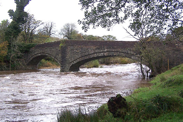
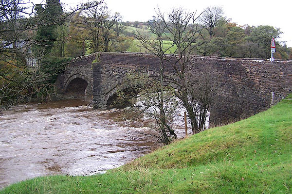
"Bridge over river Lune. Cl7 or C18 (repaired in 1780). Stone rubble. 2 stepped segmental arches, that to east the wider, flanking pier with triangular cutwaters, that to north a rebuilding in ashlar. Plain parapets probably rebuilt. Roadway approx. 3.5m wide."
courtesy of English Heritage
"Public road bridge over River Lune. Probably C17; altered. Mostly mixed random rubble, with parapets of coursed rubble. Two low segmental arches of unequal width, with stepped rubble voussoirs, springing from a pier near to the west bank of the river which has triangular cutwaters to both up- and downstream ends carried up as triangular buttresses. The parapets to the longer eastern span are horizontal, those to the shorter western span slope downwards. (The western half of this item is in Lambrigg CP.)"
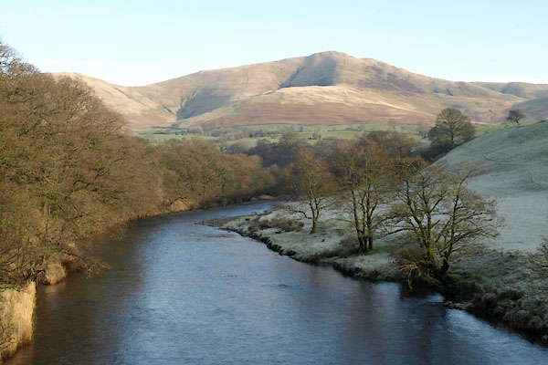
BVU53.jpg View of river.
(taken 13.1.2012)
BJY97.jpg (taken 4.11.2005)
BJY98.jpg (taken 4.11.2005)
