 Old Cumbria Gazetteer
 |
 |
|
| Hollin Bank Farm, Coniston | ||
| Hollin Bank Farm | ||
| locality:- | Hollin Bank | |
| civil parish:- | Coniston (formerly Lancashire) | |
| county:- | Cumbria | |
| locality type:- | buildings | |
| coordinates:- | SD320982 | |
| 1Km square:- | SD3298 | |
| 10Km square:- | SD39 | |
|
|
||
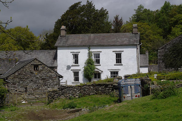 CAR28.jpg (taken 16.5.2014) 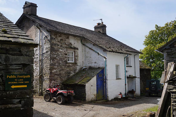 CAR29.jpg (taken 16.5.2014) |
||
|
|
||
| evidence:- | old map:- OS County Series (Lan 4 4) placename:- Hollin Bank |
|
| source data:- | Maps, County Series maps of Great Britain, scales 6 and 25
inches to 1 mile, published by the Ordnance Survey, Southampton,
Hampshire, from about 1863 to 1948. |
|
|
|
||
| evidence:- | old map:- Crosthwaite 1783-94 (Con) |
|
| source data:- | Map, uncoloured engraving, An Accurate Map of Coniston Lake,
scale about 3 inches to 1 mile, by Peter Crosthwaite, Keswick,
Cumberland, 1788, version published 1809.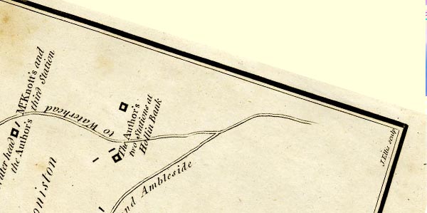 CTESD39J.jpg "The Author's two Stations at Hollin Bank" each marked by a block for building/s "... Hollin Bank, half a Mile to the N.E. of the Head of the Lake on the road from Hawkshead to Waterhead ..." item:- JandMN : 182.5 Image © see bottom of page |
|
|
|
||
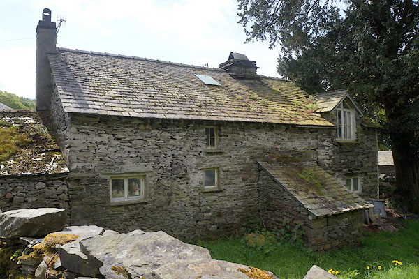 CAR30.jpg Barn. (taken 16.5.2014) |
||
|
|
||
 Lakes Guides menu.