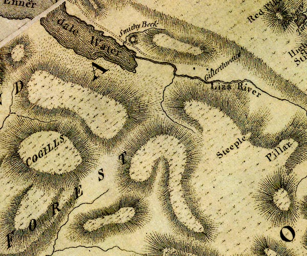


placename:- Gillerthwaite
placename:- Gillerthwaite

D4NY11SW.jpg
"Gillerthwaite"
block or blocks, labelled in lowercase; a hamlet or just a house
item:- Carlisle Library : Map 2
Image © Carlisle Library
placename:- Island of Gillerthwaite
 goto source
Account of Ennerdale, late 18th century
Page 293:- "..."
"... The delighted tourist will insensibly confine his view (though it is not in reality bounded by any of the lofty objects already mentioned) to the verdant island of Gillerthwaite, whose romantic situation must be seen - description cannot furnish an idea of its beauty."
 goto source
Page 294:- "An essayist, in the provincial paper of this country, speaking of this place, says, 'It forms a picture such as the canvas never presented; it embraces a variety so distributed as no pencil can ever imitate. No designer in romance ever allotted such a residence to his fairy inhabitants - I had almost said, no recluse ever wooed religion in such a blessed retirement.' - 'The genius of Ovid would have transformed the most favoured of his heroes into a river, and poured his waters into the channel of the Liza, there to wander by the verdant bounds of Gillerthwaite - the sweet reward of patriotism and virtue.'"
"Gillerthwaite is not, however, an island, though almost as much contrasted in the landscape as land with water. It is a patch of enclosed and apparently highly cultivated ground, on a stony desert of immeasurable extent; for the mountains on each side of it are the most barren in their aspect, and continue that appearance till their heads mix with the horizon. There are two decent farm-houses on the inclosure, and, from the serpentine tract of the valley, no other habitation of man is visible. ..."
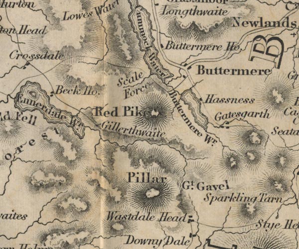
placename:- Guilerthwaite
 click to enlarge
Lw18.jpg
"Guilerthwaite"
village or other place
item:- private collection : 18.18
Image © see bottom of page
 goto source
Page 26:- "... Pedestrians, anxious to explore the inmost recesses of the mountains, may follow the lake [Ennerdale Water] to its head, and after passing the sequestered farm of Gillerthwaite, continue their route four of five miles along the narrow dale, ..."
placename:- Gillerthwaite

FD02NY11.jpg
"Gillerthwaite"
item:- JandMN : 100.1
Image © see bottom of page
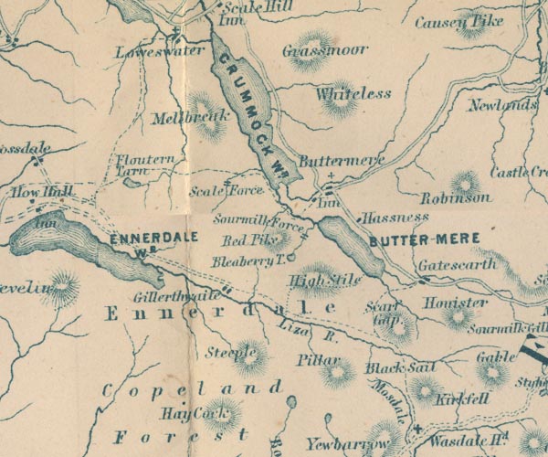
placename:- Gillerthwaite

GAR2NY11.jpg
"Gillerthwaite"
blocks, settlement
item:- JandMN : 82.1
Image © see bottom of page
