 Old Cumbria Gazetteer
 |
 |
|
| forest, Muncaster | ||
| civil parish:- | Muncaster (formerly Cumberland) | |
| county:- | Cumbria | |
| locality type:- | wood | |
| locality type:- | forest | |
| 10Km square:- | SD19 | |
| 1Km square:- | SD1090 | |
| 10Km square:- | SD19 | |
| references:- | Saxton 1579 |
|
|
|
||
| evidence:- | old map:- Saxton 1579 |
|
| source data:- | Map, hand coloured engraving, Westmorlandiae et Cumberlandiae Comitatus ie Westmorland
and Cumberland, scale about 5 miles to 1 inch, by Christopher Saxton, London, engraved
by Augustinus Ryther, 1576, published 1579-1645.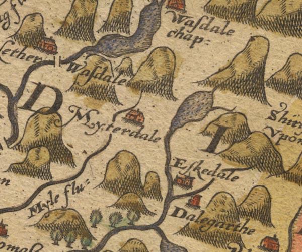 Sax9NY10.jpg Trees. item:- private collection : 2 Image © see bottom of page |
|
|
|
||
| remnant (?):- |  Ian's Wood, Muncaster Moss Plantation, Muncaster Ian's Wood, Muncaster Moss Plantation, Muncaster[Birks Plantation, Muncaster] Birks Coppice, Muncaster Tarn Wood, Muncaster Chapel Wood, Muncaster |
|
|
|
||
Lakes Guides menu.