 Old Cumbria Gazetteer
 |
 |
|
| Dovenest Wood, Lakes | ||
| Dovenest Wood | ||
| civil parish:- | Lakes (formerly Westmorland) | |
| county:- | Cumbria | |
| locality type:- | wood | |
| coordinates:- | NY38330278 (etc) | |
| 1Km square:- | NY3802 | |
| 10Km square:- | NY30 | |
|
|
||
| evidence:- | old map:- OS County Series (Wmd 26 14) placename:- Dovenest Wood |
|
| source data:- | Maps, County Series maps of Great Britain, scales 6 and 25
inches to 1 mile, published by the Ordnance Survey, Southampton,
Hampshire, from about 1863 to 1948. OS County Series (Wmd 26 15) |
|
|
|
||
| evidence:- | perhaps old map:- Saxton 1579 |
|
| source data:- | Map, hand coloured engraving, Westmorlandiae et Cumberlandiae Comitatus ie Westmorland
and Cumberland, scale about 5 miles to 1 inch, by Christopher Saxton, London, engraved
by Augustinus Ryther, 1576, published 1579-1645.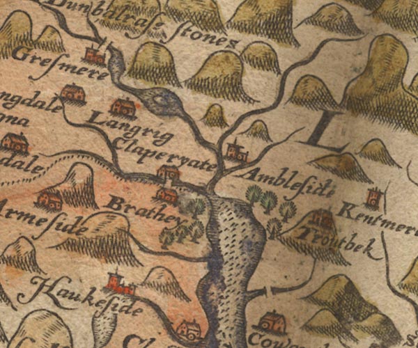 Sax9NY30.jpg Group of trees south of Ambleside. item:- private collection : 2 Image © see bottom of page |
|
|
|
||
| evidence:- | old map:- Ogilby 1675 (plate 96) |
|
| source data:- | Road strip map, hand coloured engraving, the Road from Kendal to
Cockermouth, and the Road from Egremond to Carlisle, scale about
1 inch to 1 mile, by John Ogilby, London, 1675.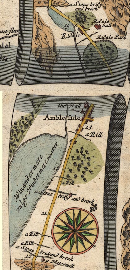 OG96m010.jpg In mile 12, Westmoreland. Woodland on the right of the road. item:- JandMN : 22 Image © see bottom of page |
|
|
|
||
| evidence:- | old map:- Clarke 1787 map (Windermere N) |
|
| source data:- | Map, A Map of the Northern Part of the Lake Winandermere and its
Environs, scale about 6.5 ins to 1 mile, by James Clarke,
engraved by Samuel John Neele, 352 Strand, published by James
Clarke, Penrith, Cumberland and in London etc, 1787.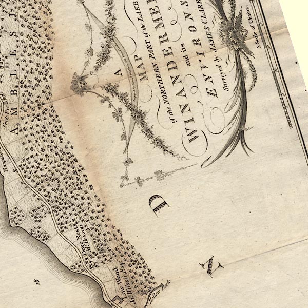 CLANY30W.jpg item:- private collection : 10.10 Image © see bottom of page |
|
|
|
||
| evidence:- | roughly descriptive text:- Otley 1823 (5th edn 1834) item:- geology |
|
| source data:- | Guide book, A Concise Description of the English Lakes, the
mountains in their vicinity, and the roads by which they may be
visited, with remarks on the mineralogy and geology of the
district, by Jonathan Otley, published by the author, Keswick,
Cumberland now Cumbria, by J Richardson, London, and by Arthur
Foster, Kirkby Lonsdale, Cumbria, 1823; published 1823-49,
latterly as the Descriptive Guide to the English Lakes. goto source goto sourcePage 158:- "The THIRD division - forming only inferior elevations - commences with a bed of dark-blue or blackish transition limestone, containing here and there a few shells and madrepores, and alternating with a slaty rock of the same colour; the different layers of each being in some places several feet, in others only a few inches in thickness. This limestone crosses the river Duddon near Broughton; passing Broughton Mills it runs in a north-east direction through Torver, by the foot of the Old Man mountain, and appears near Low Yewdale and Yew Tree. Here it makes a considerable slip to the eastward, after which it ranges past the Tarns upon the hills above Borwick Ground; and stretching through Skelwith, it crosses the head of Windermere near Low Wood Inn. Then passing above Dovenest and Skelgill, it traverses the vales of Troutbeck, Kentmere, and Long Sleddale;" |
|
|
|
||
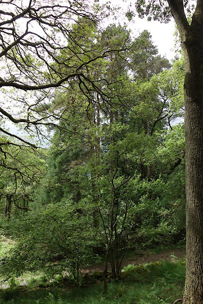 CDJ85.jpg (taken 18.6.2015) |
||
|
|
||
Lakes Guides menu.