Old Cumbria Gazetteer
 |
 |
|
||
| Church Beck | ||||
| civil parish:- | Coniston (formerly Lancashire) | |||
| county:- | Cumbria | |||
| locality type:- | river | |||
| coordinates:- | SD30809693 | |||
| 1Km square:- | SD3096 | |||
| 10Km square:- | SD39 | |||
|
|
||||
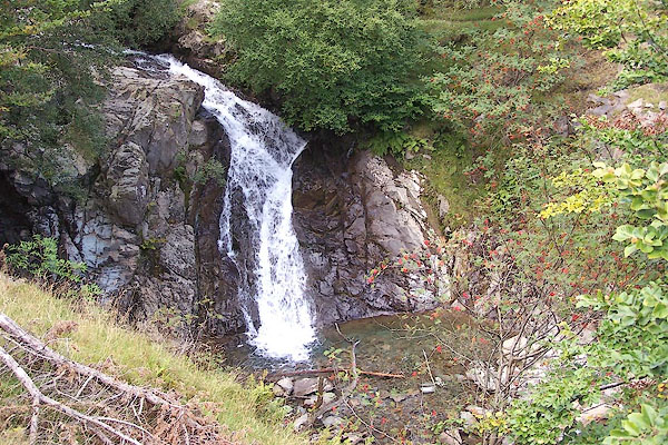
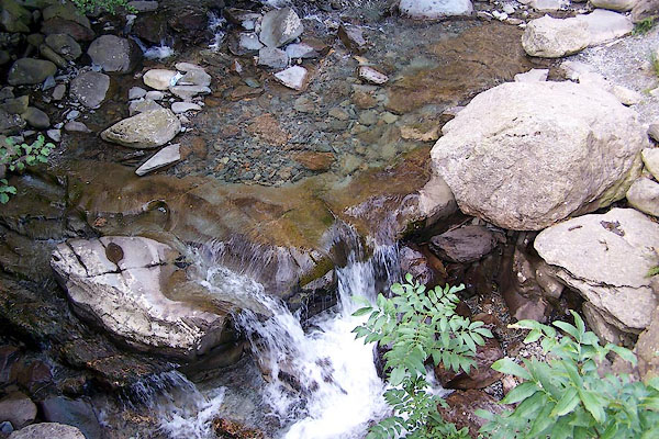
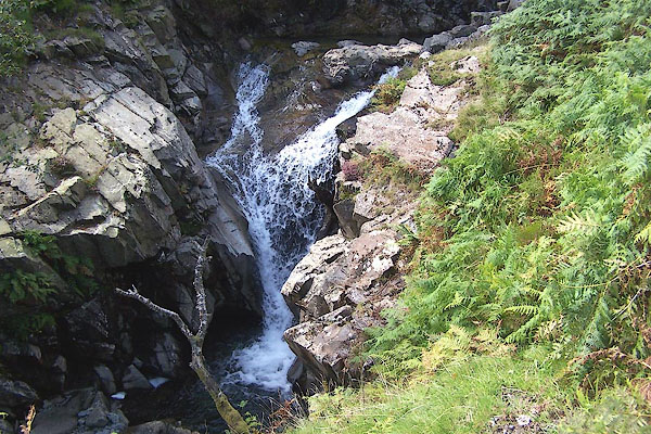 BOC30.jpg Waterfall. (taken 3.9.2007) 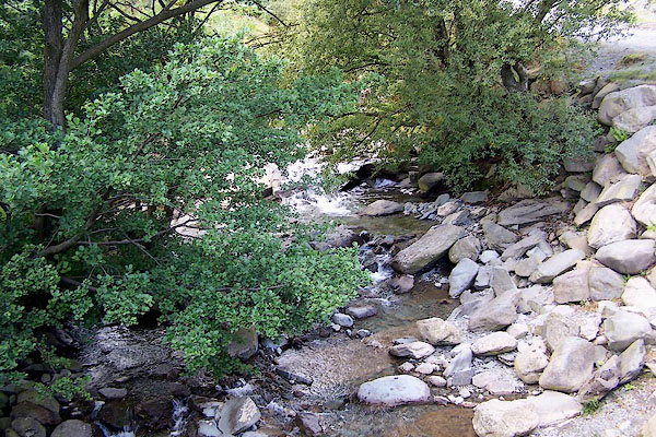 BOC29.jpg At Miners Bridge. (taken 3.9.2007) |
||||
|
|
||||
| evidence:- | possibly descriptive text:- West 1778 (11th edn 1821) |
|||
| source data:- | Guide book, A Guide to the Lakes, by Thomas West, published by
William Pennington, Kendal, Cumbria once Westmorland, and in
London, 1778 to 1821. goto source goto sourcePage 54:- "..." "The feeder of this lake [Coniston Water], besides the Black-beck of Torver, is Coniston-beck. It decends (sic) from the mountains, or rather is precipitated, in a short course to the lake, which it enters on the western canton in a clear stream, concealed by its banks." |
|||
|
|
||||
| evidence:- | old map:- Crosthwaite 1783-94 (Con) placename:- Church Beck |
|||
| source data:- | Map, uncoloured engraving, An Accurate Map of Coniston Lake,
scale about 3 inches to 1 mile, by Peter Crosthwaite, Keswick,
Cumberland, 1788, version published 1809.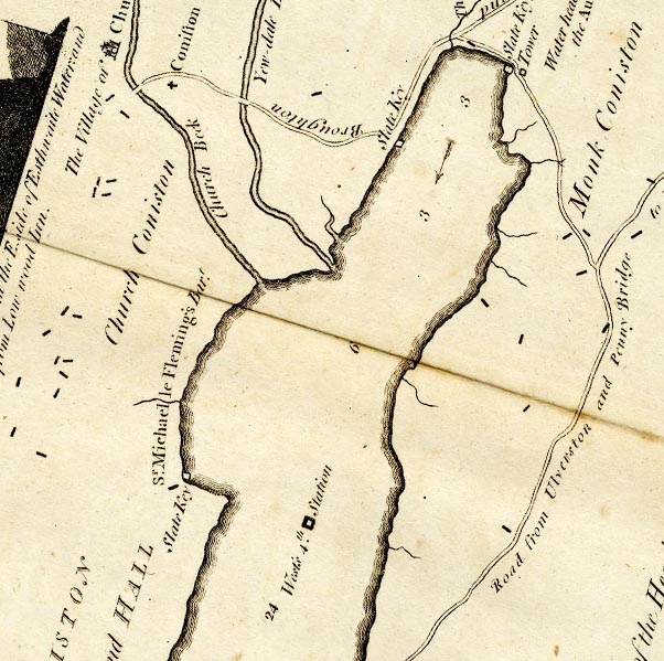 CTESD39D.jpg "Church Beck" item:- JandMN : 182.5 Image © see bottom of page |
|||
|
|
||||
| evidence:- | old map:- West 1784 map |
|||
| source data:- | Map, hand coloured engraving, A Map of the Lakes in Cumberland,
Westmorland and Lancashire, scale about 3.5 miles to 1 inch,
engraved by Paas, 53 Holborn, London, about 1784.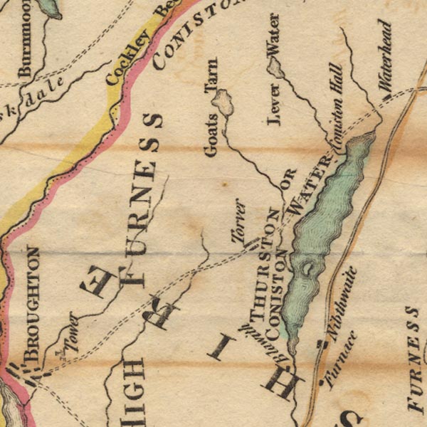 Ws02SD29.jpg item:- Armitt Library : A1221.1 Image © see bottom of page |
|||
|
|
||||
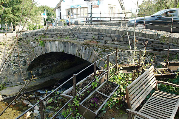
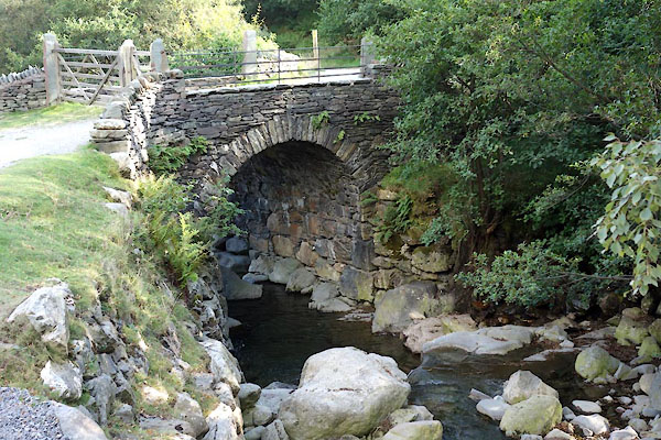
 BOC28.jpg At Miners Bridge. (taken 3.9.2007) 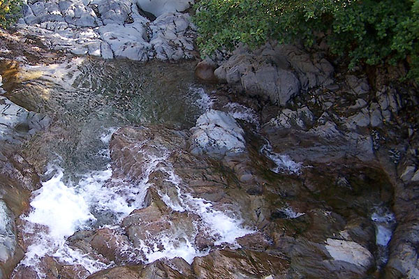 BTN81.jpg Below Miners Bridge. (taken 8.9.2010) 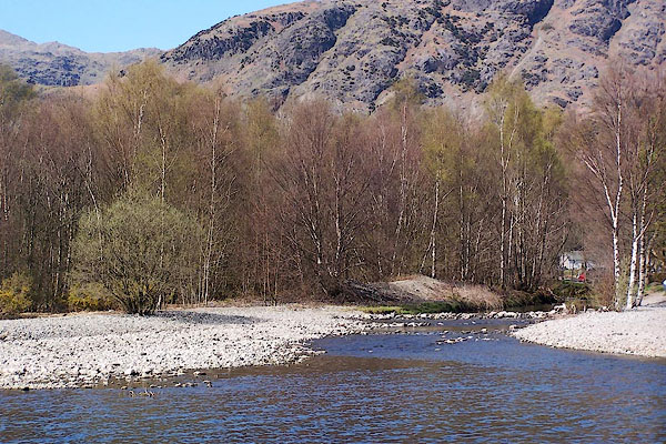 BLZ62.jpg Entering Coniston Water. (taken 28.4.2006) |
||||
|
|
||||
| continuation of:- | Levers Water Beck |
|||
|
|
||||
| places:- |
|
|||
|
||||
|
||||
|
||||
|
||||
|
||||
Lakes Guides menu.